From Exit 7 of Hapjeong Station to Yanghwajin, a Half-Day Journey Linking the Memories of the Hangang Ferry and the Alleys of the Hongdae Area
Hapjeong is a station area where Subway Lines 2 and 6 meet, and it is also the starting point of the Hangang riverside historical district that leads to Yanghwajin Ferry, Jeoldusan, and Yanghwajin. Based on the area around 33-1 Dongmak-ro indicated by the address coordinates, it is efficient to walk along routes divided into Sangsu, Hongdae, and Mangwon.

I’ve been here?
Your check-in helps the next traveler.
25 people viewed this week Be the first
One tap — no writing needed
Three directional routes in Hapjeong starting from 33-1 Dokmak-ro
33-1 Dokmak-ro, Mapo-gu, Seoul Special City is in the area of Hapjeong-dong 412-22, and the postal code is 04047. The coordinates 37.548323, 126.917295 place it within the Dokmak-ro living area between Hapjeong Station and Sangsu Station, making it convenient to divide routes into the east side toward Sangsu and Hongdae, the west side toward Hapjeong Station and Yanghwa-ro, and the northwest side toward Mangwon.
This area is not a single-entry facility but a street where commercial, residential, and cultural spaces are mixed together. Therefore, a visit to Hapjeong is more realistically done by linking one place for a meal or cafe, a walk through the alleys, and one historical site along the Han River, rather than staying in one location. The recommended stay time is 3 to 5 hours including a meal.
- Starting address: 33-1 Dokmak-ro, Mapo-gu, Seoul Special City
- Nearby lot-number address: Hapjeong-dong 412-22
- Postal code: 04047
- Recommended stay: 3 to 5 hours
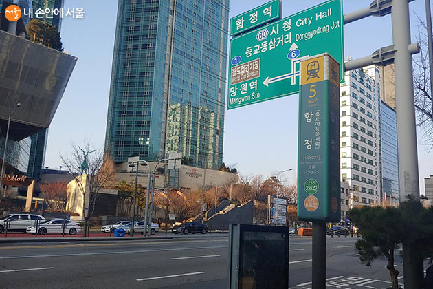
How to choose an alley from Hapjeong Station on Line 2 and Line 6
Hapjeong Station is an interchange station on Seoul Subway Line 2 and Line 6. When approaching the area near 33-1 Dokmak-ro, the exit differs depending on your starting point, so it is better to pin the destination on the map first and then choose the exit. Seoul city Source shows that from Exit 3 of Hapjeong Station to Yanghwa-ro 72 is about 59 m, demonstrating how close the Yanghwa-ro axis and the Dokmak-ro axis are around the station.
If you want to prioritize a Han River historical walk, you can use Exit 7 of Hapjeong Station as your starting point. Seoul City's guide to Mangwon Hangang Park presents the ground level in front of Exit 7 as the meeting point for a course linking Yanghwajin Foreign Missionary Cemetery, the Yanghwajin site, Jeoldusan Martyrs' Shrine, Yanghwajin ferry landing, Jamdubong Wharf, Mangwon Green Road, Mangwonjeong, and Seoul Battleship Park.
- Subway: Hapjeong Station on Lines 2 and 6
- Starting point for a Han River historical walk: ground level in front of Exit 7
- Reference for access near Yanghwa-ro: there is a facility example about 59 m from Exit 3
- Airport and Gimpo-bound express buses also pass through the Hapjeong Station stop, so it is safer to check real-time stop information before departure
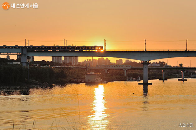
The well and the geography of Yanghwajin left behind in the name "Hapjeong"
Hapjeong-dong was a village close to the lower reaches of the Han River and Yanghwajin. The third volume of the Mapo-gu edition of <The History of Seoul's Neighborhoods>, announced for publication by Seoul City in 2025, describes Sinsoo-dong, Seogang-dong, Hapjeong-dong, and Seogyo-dong as areas where tradition and modern culture coexist, from the history of Seogang ferry landing to the young street in front of Hongdae. Today's Hapjeong commercial district can be seen as the result of overlapping memories of Han River-side transportation, a subway transfer station, and the Hongdae cultural zone.
"Hapjeong" is introduced as a place name related to a well where many shellfish shells were found in the past. A local record in the Seoul Newspaper from 2004 says that the character for shellfish, "hap" (蛤), was attached because of the shellfish shells at the bottom of the well, and notes that the well disappeared during the construction of the riverside road. However, since the well does not remain on site today, it is more accurate to understand the place name itself as a historical trace.
- Hapjeong-dong was an area adjacent to Yanghwajin and the lower Han River
- The place name is recorded as having originated from a story about a well related to shellfish
- The area of Hapjeong-dong has been introduced as 1.71 square km
- Yanghwa Bridge connects Hapjeong-dong to the southern bank of the Han River
About 2 km walking from Exit 7 of Hapjeong Station to Yanghwajin and Jeoldusan
If you want to see the historical character of Hapjeong, it is better to combine the route toward Yanghwajin rather than only walking the restaurant and cafe alleys on Dokmak-ro. Seoul City's Han River guide materials suggest a sequence starting from Exit 7 of Hapjeong Station, continuing to Yanghwajin Foreign Missionary Cemetery, the Yanghwajin site, Jeoldusan Martyrs' Shrine, Yanghwajin ferry landing, and Jamdubong Wharf, then extending to Mangwon Green Road, Mangwonjeong, and Seoul Battleship Park.
There is a record that Mangwonjeong became known by its current name when Prince Wolsan expanded it in 1484, the 15th year of King Seongjong, and it disappeared after the Great Flood of Eulchuk in 1925 and Han River development, before being restored in 1989. When moving from Hapjeong toward Mangwon, do not just look at the present-day cafe street; if you walk to the point where a pavilion once again overlooks the Han River scenery of the Joseon period, it becomes easier to read the time gap in the area.
- Recommended sequence: Hapjeong Station Exit 7 → Yanghwajin → Jeoldusan → Yanghwajin ferry landing → Jamdubong Wharf
- Extended route: Mangwon Green Road → Mangwonjeong → Seoul Battleship Park
- Name change of Mangwonjeong: 1484
- Restoration of Mangwonjeong: 1989
Evening choices split toward Sangsu, Hongdae, and Mangwon
From 33-1 Dokmak-ro, the east side leads toward Sangsu and Hongdae, while the northwest leads toward Mangwon. Seoul Foundation for Arts and Culture's study of the Hongdae-front cultural and arts ecosystem points out that, in administrative terms, areas such as Seogyo-dong, Hapjeong-dong, Sangsu-dong, and Yeonnam-dong overlap with the broader "Hongdae-front" cultural zone. In other words, Hapjeong is a boundary point where the texture of meals, performances, and Han River walks changes depending on which direction you move, unlike the high-density pedestrian core in front of Hongik University Station.
For an evening appointment, you should check the closing time and waiting status of the dining place on the day itself. Between Hapjeong Station and Sangsu Station, individual businesses are densely packed, so on weekend evenings popular restaurants may have on-site waits, and reservation availability differs by venue. Instead of targeting only one place, it is practical to prepare at least two alternative options within a 5 to 10 minute walk.
- Sangsu and Hongdae direction: connected eastward along Dokmak-ro
- Mangwon direction: good for combining with a Han River-side historical walk
- Weekend evenings: recommended to check each restaurant's waiting and reservation policy on the day
- Alternative restaurants and cafes: recommended to prepare at least two within a 5 to 10 minute walk
Five things you must check separately in a "neighborhood" with no operating hours
Hapjeong is not a facility like a park or museum with a single operating time, closing day, or admission fee. The street itself can be walked freely and is open at all times, but cafes, restaurants, performance venues, and exhibition spaces each have different operating hours, closing days, and reservation methods. Therefore, before visiting, it is necessary to check the official channel of the destination you plan to go to and then move on.
Parking is not organized around a single integrated parking lot either. Private parking lots and building-attached parking near Dokmak-ro and Hapjeong Station have different fees and operating hours, and there may be no available spaces on weekend evenings. Wheelchair and stroller users should note that sidewalk steps, entrance widths, and restroom conditions differ by business, so it is safer to contact the venue directly before visiting.
- Street admission fee: free
- Street closing day: none
- Individual store operating hours and closing days: vary by business
- Parking: no integrated parking lot; private and attached parking fees vary
- Accessibility: sidewalk and store entrance conditions differ, so prior inquiry is recommended
An afternoon 4-hour route linking Hapjeong to Mangwon Hangang Park
A convenient afternoon route is to start from Hapjeong Station, have a meal or coffee in the Dokmak-ro area, and then head down to the Han River via Yanghwajin and Jeoldusan. Seoul City's guide for Yanghwajin-ro marks the distance from Jamdubong Wharf to Mangwon Green Road at about 1 km, to Mangwonjeong at about 1.2 km, and to Seoul Battleship Park at about 1.5 km. Once you reach the riverside, it is better to choose only one destination and walk, keeping the return time in mind.
If you plan to go as far as Seoul Battleship Park, it is better to enter the Han River-side section before sunset, and for the return trip you can choose either Mangwon Station or Hapjeong Station again. Another Han River guide from Seoul City presents Exit 9 of Hapjeong Station and bus 5714 as one of the access methods to Mangwon Hangang Park. Operating intervals and the last bus may change, so it is necessary to check just before departure.
- Hapjeong alley stay: 1 to 2 hours
- Yanghwajin and Jeoldusan section: 1 to 1.5 hours
- Additional Han River-side walk: 1 to 2 hours
- Jamdubong Wharf → Mangwon Green Road: about 1 km
- Jamdubong Wharf → Mangwonjeong: about 1.2 km
- Jamdubong Wharf → Seoul Battleship Park: about 1.5 km
Before You Go
- Address
- 33-1 Dokmak-ro, Mapo-gu, Seoul Special City
- Hours
- Street accessible at all times (varies by individual business)
- Closed
- None (varies by individual business)
- Admission
- Free
- Transport
- Use Hapjeong Station on Subway Lines 2 and 6. A Han River historical walk can start in front of Exit 7 of Hapjeong Station. For Mangwon Hangang Park, Seoul City materials provide information on using bus 5714 near Exit 9 of Hapjeong Station.
- Parking
- No integrated parking lot. Fees and operating hours vary by nearby private and building-attached parking lots.
- Time needed
- 2 to 3 hours centered on meals and cafes, 4 to 5 hours including Yanghwajin, Jeoldusan, and Mangwon Hangang Park
- Accessibility
- Because sidewalk and entrance conditions differ by venue, prior inquiry is recommended for wheelchair and stroller users. Foreign-language guidance varies by facility.
The above information is based on the time of writing. Please check official information again before visiting.

Places
Nearby Attractions 2
-
 1
1
-
 2
Yanghwajin Historic Park
2
Yanghwajin Historic Park
Food & Dining 5
-
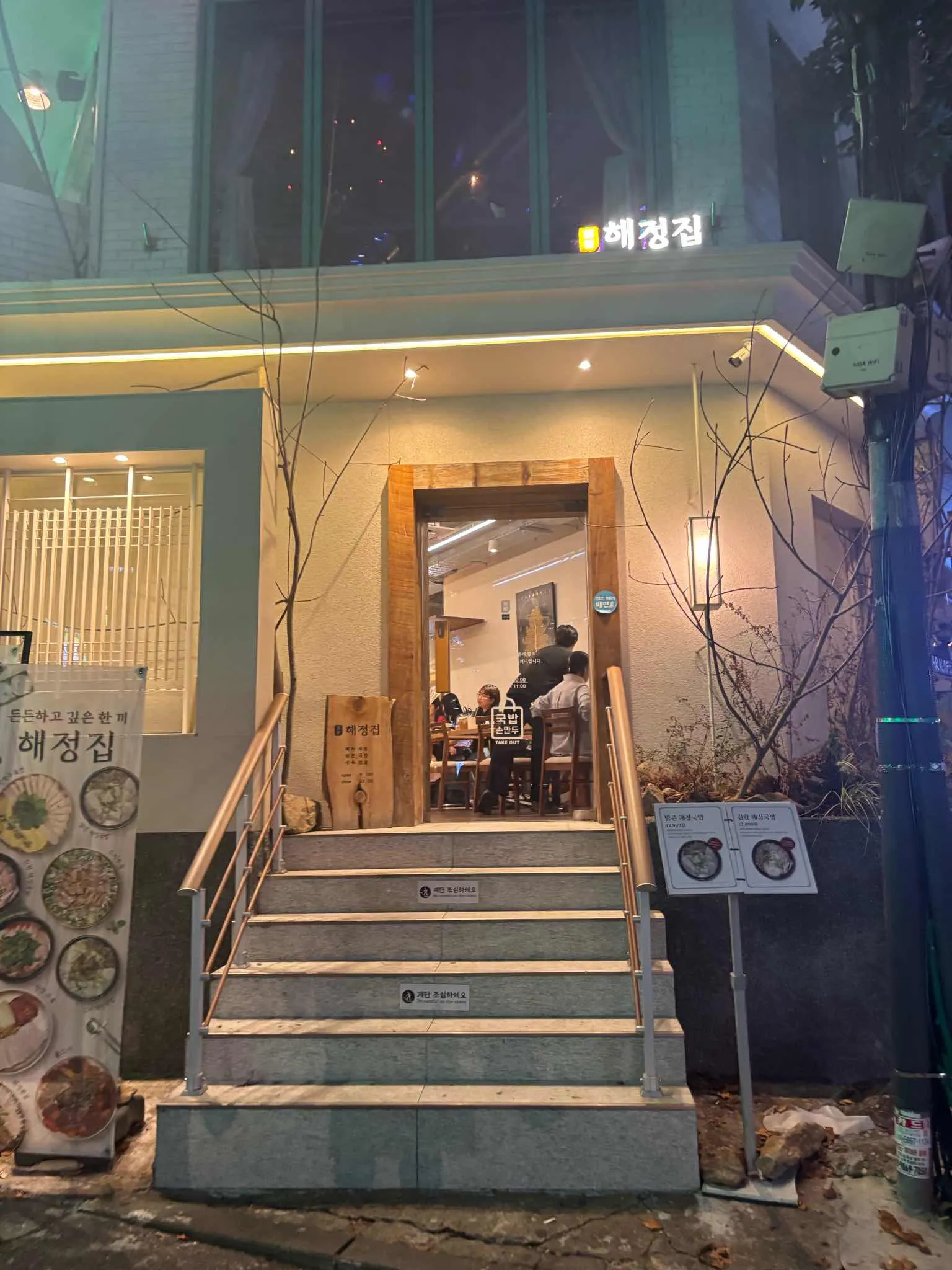 3
3
-
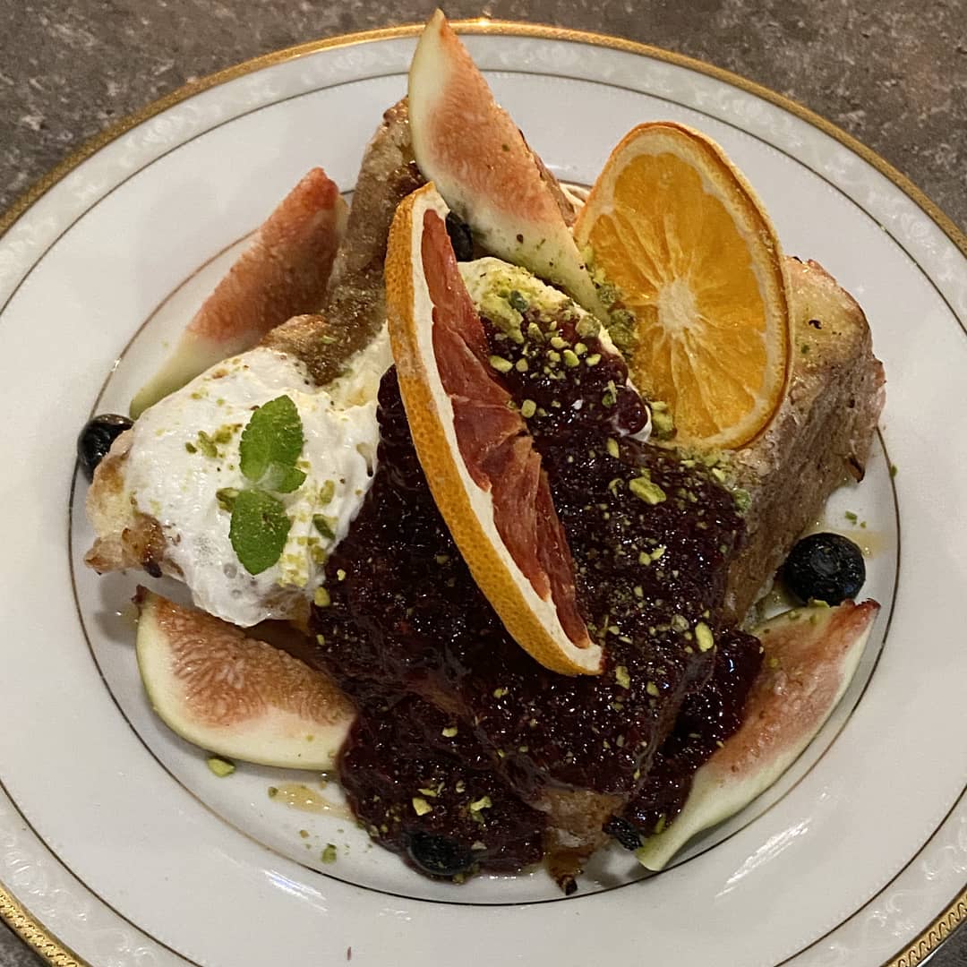 4
4
-
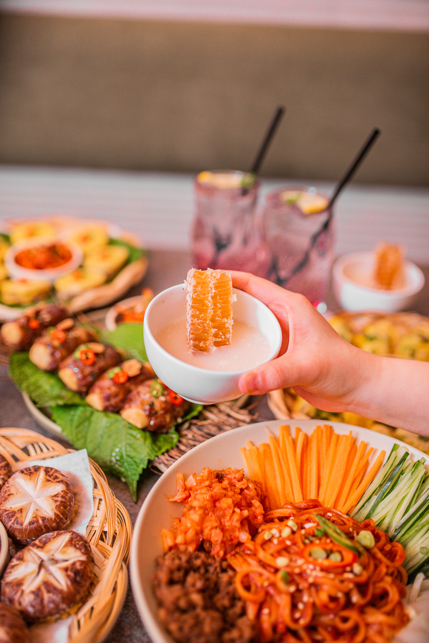 5
Deogi and Hapjeong Branch
5
Deogi and Hapjeong Branch -
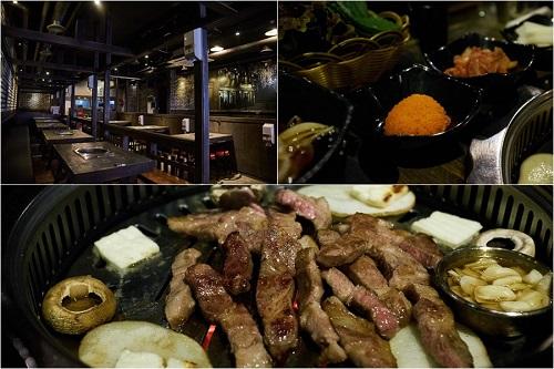 6
6
-
 7
7
Events in This Area


Festivals in This Area

More Travel Guides in This Area
 Travel Guide
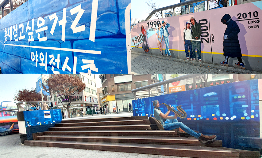
A Café and Performance Alley 2 Minutes from Exit 3 of Sangsu Station, Stretching Alongside the Danginri Power Plant
 Travel Guide
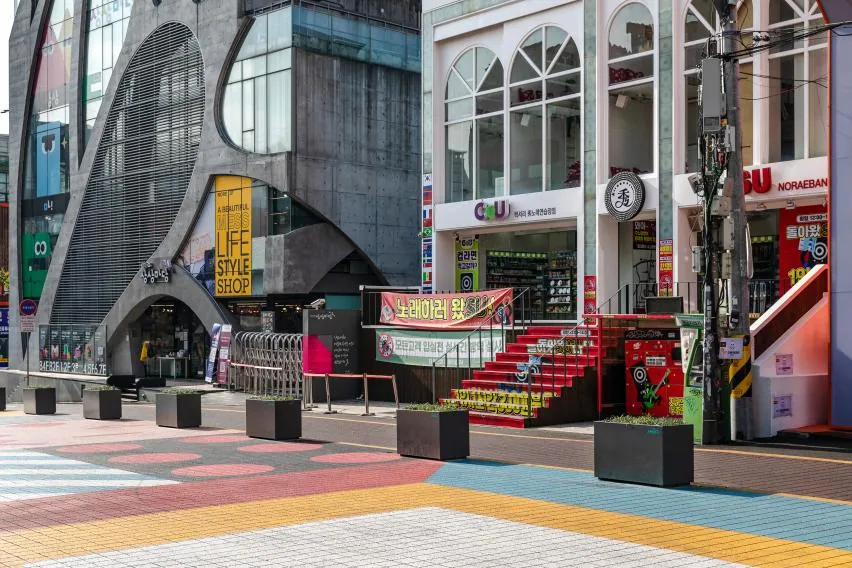
From Hongik-ro 20 to the Gyeongui Line Forest Park: How to Separate Day and Night in Hongdae
 Travel Guide
How to Use KT&G Sangsang Madang Hongdae: From the B4 Cinema to the 7th-Floor Academy
 Travel Guide
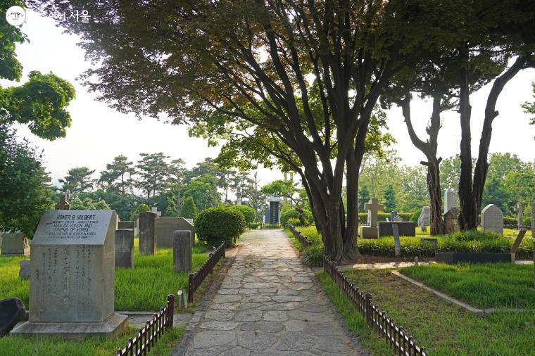
Yanghwajin, Begun with Heron’s Burial in 1890: A Modern History Cemetery 200 m from Exit 7 of Hapjeong Station
Korea News
 News
News
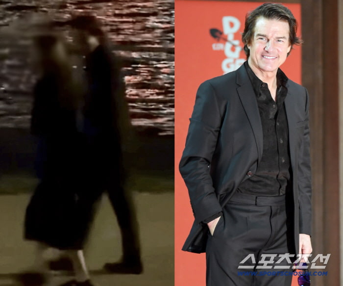
Tom Cruise Spotted Taking a Late-Night Walk at Hangang Park… Strolled for an Hour in a Black Suit
 News
News
'Jimin, We'll always be with you' Peru Embraced 'Jimtober' Birthday Celebrations... "I'm Happy"
 News
News
BTS’s Jungkook stands alongside Messi and Ronaldo… No. 5 worldwide in TikTok views
 News
News