Hiking in Changnyeong along Hwawangsanseong Fortress and the Simni Silver Grass Field
Mt. Hwawangsan is a 756.6m mountain rising on the border between Changnyeong-eup and Goam-myeon, with Hwawangsanseong Fortress at the summit and a vast silver grass meadow as its main highlights. This guide covers approach methods from the two starting points of Jahagok and Okcheon, routes connected to Gwallyongsa Temple, seasonal scenery, and practical field information.

I’ve been here?
Your check-in helps the next traveler.
20 people viewed this week Be the first
One tap — no writing needed
Where in Changnyeong is the 756.6m Hwahwangsan Mountain?
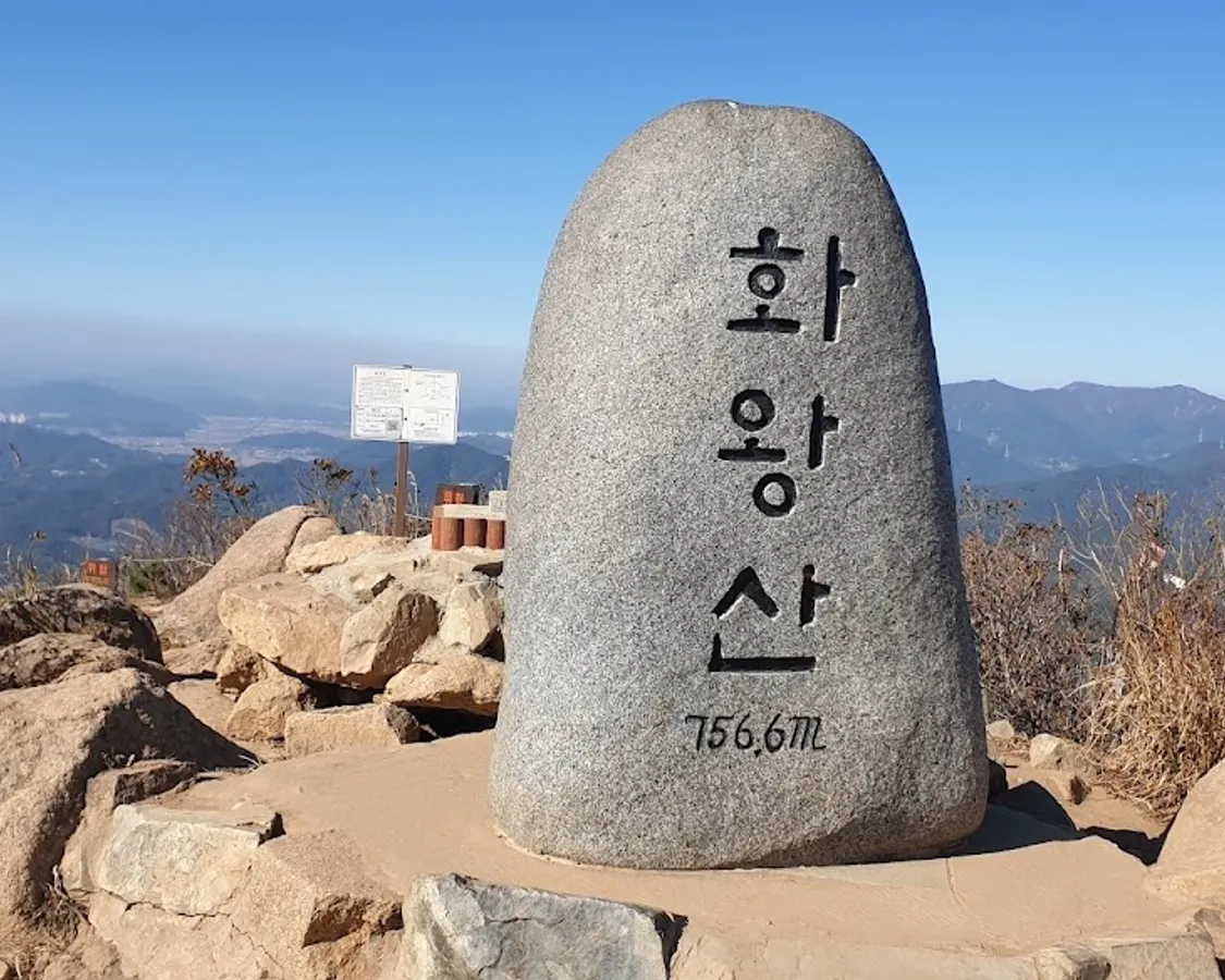
Hwahwangsan Mountain is located on the border between Changnyeong-eup and Goam-myeon in Changnyeong-gun, Gyeongsangnam-do, with an altitude of 756.6m. It is the central mountain of Hwahwangsan County Park, which connects Hwahwangsan with the 739.7m Gwallyongsan Mountain, also known as Guryongsan Mountain.
Changnyeong-gun introduces Hwahwangsan as the guardian mountain of Changnyeong and one of the 100 Famous Mountains of Korea selected by the Korea Forest Service. The address is 1606, Upo 1-daero, Changnyeong-eup, Changnyeong-gun, Gyeongsangnam-do. As it is a hiking destination, vehicles do not go all the way to the summit like typical tourist attractions.
Hwahwangsanseong Fortress atop Prehistoric Volcanic Terrain
Hwahwangsan is presumed to be a prehistoric volcano, and the summit area is said to contain three craters, including Yongji Pond. Due to this topography, the area around the summit is characterized by wide, flat spaces and silver grass meadows rather than peaks blocked by forests.
The summit features Hwahwangsanseong Fortress, which has a circumference of approximately 2.7km. Changnyeong Hwahwangsanseong Fortress was designated as Historic Site No. 64 on January 21, 1963. Inside the fortress, there is the Deukseongbi Monument, which tells the story of the origin of the Changnyeong Jo clan, and three ponds called Yongji, allowing visitors to see both the fortress walls and the remains of the volcanic craters at the mountain summit.
The 10-ri Silver Grass Field Spreads Inside Hwahwangsanseong
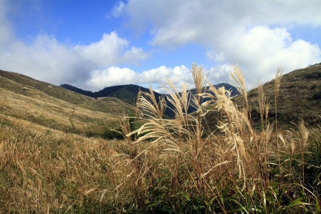
The representative landscape around the summit of Hwahwangsan is the wide and flat "10-ri Silver Grass Field." It is introduced as a silver grass meadow of about 56,000 pyeong (approx. 185,000 sq m) with few miscellaneous trees inside the fortress. To see the silver grass up close, one must hike to the summit rather than staying near the ticket office.
According to information from Changnyeong-gun on October 15, 2020, the silver grass that year was expected to peak toward the end of October. While it is mentioned that a Silver Grass Festival is held every October, the specific schedule and current status of the event were not confirmed in this source material.
Varying Visiting Times for Azaleas, Silver Grass, and Snowscapes
In spring, colonies of azaleas can be seen on the slopes around Hwahwangsanseong Fortress and along the ridges leading to Gwallyongsan Mountain. In autumn, the silver grass at the summit is the primary attraction, while in winter, the snowy landscapes are highlighted as a sight to see.
In summer, the lush greenery and valley streams are mentioned as seasonal scenery. Changnyeong-gun information notes that the appearance of the silver grass fields changes after sunrise, allowing visitors to aim for sunrise summit views, though the hiking time and weather conditions must be carefully calculated.
From Jahagok to Namchanggyo: Starting Points for First-Time Climbers
For those starting from the Jahagok point, transportation information suggests taking a city bus and getting off at Namchanggyo Bridge, followed by a 10-minute walk. The road name address for the Jahagok ticket office is 10, Jahagok-gil, Changnyeong-eup, but the latest bus route numbers and operating times were not included in the provided data.
From Jahagok, routes such as Jahagok → Forest Bathing Area → Summit and Jahagok → Doseongam Hermitage → Summit are introduced. There are also options to reach the summit via the forest bathing area, observatory, and Janggunbawi Valley. Therefore, it should be planned as a hike involving inclines and unpaved trails rather than a short walking tour.
1.8km from Okcheon Ticket Office to Gwallyongsa Temple
The address of the ticket office at the Okcheon starting point is 638, Gyeseonghwahwangsan-ro, Changnyeong-eup. Some data indicates that city buses from Changnyeong to Okcheon run four times a day, so bus users must also plan for their return trip.
The distance from the Okcheon ticket office to Gwallyongsa Temple is 1.8km, with an estimated walking time of 40 minutes. The course leading to Hwahwangsan via Gwallyongsa allows for a combination of hiking and viewing cultural heritage. However, Gwallyongsa is not immediately visible from the ticket office and requires a 40-minute walk.
How to See Treasures and Yongseondae Together at Gwallyongsa
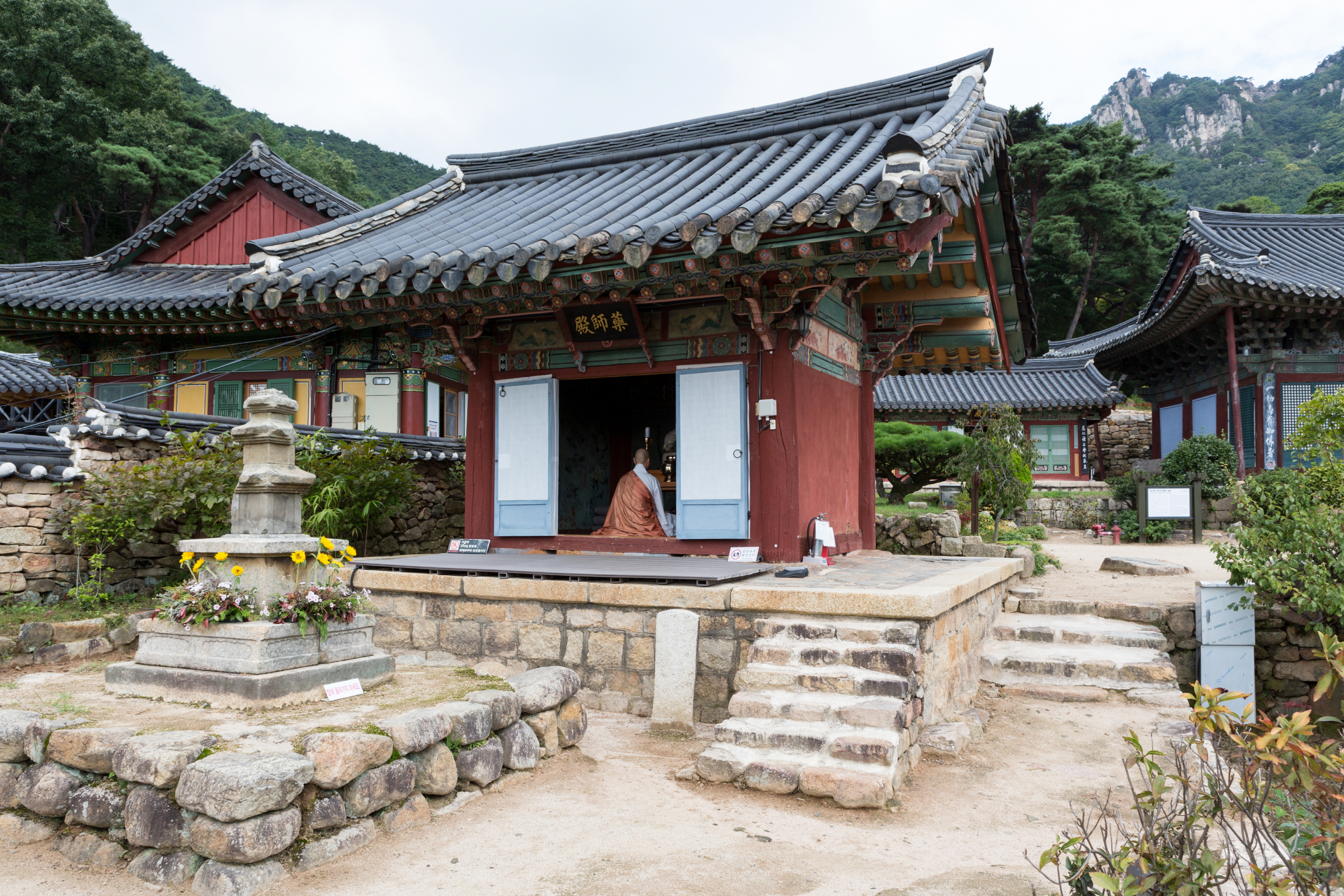
Within the mountains of Hwahwangsan County Park is Gwallyongsa Temple. Its Daeungjeon Hall is Treasure No. 212, Yaksajeon Hall is Treasure No. 146, and the Seated Stone Buddha Statue is Treasure No. 519. The typical sequence is to walk 1.8km for 40 minutes from the Okcheon ticket office and then tour the temple.
The Seated Stone Shakyamuni Buddha Statue at Yongseondae of Gwallyongsa Temple is Treasure No. 295. The Okcheon starting point is better suited for those who wish to see mountain cultural heritage including Gwallyongsa and Yongseondae rather than those aiming to quickly climb Hwahwangsan. The entire hike is estimated to take about 3 to 5 hours based on the summit and major trails.
Reasons for Differing Parking Capacities (378 vs 227) and Fee Info
The Jahagok parking lot can accommodate 378 vehicles, while the Okcheon parking lot can hold 227 vehicles. Past records list parking fees of 3,000 KRW for large vehicles and 2,000 KRW for small vehicles, but official data from Changnyeong-gun dated October 15, 2020, states that both admission and parking are free.
Therefore, this text does not provide a definitive current fee. Drivers should first decide whether to start their hike from Jahagok or Okcheon, and if the course ends at a different location, they must prepare a method for vehicle retrieval.
09:00~18:00 Information and Restrictions to Check Before Hiking
The tourist information for Hwahwangsan lists operating hours as 09:00~18:00. Regular holidays are not confirmed in public data, and the 2020 Changnyeong-gun data lists admission as free. For inquiries, contact the Park Management of the Forest & Housing Division at Changnyeong County Office at 055-530-1663. The Changnyeong-gun tourism website is https://www.cng.go.kr/tour.web.
The summit area may include stairs, slopes, and unpaved trails, so wheelchair and stroller accessibility to the top is not confirmed. There is information that access may be restricted depending on weather changes or trail conditions. Details regarding English guidance, audio guides, cash-only status, photography bans, and the location of restrooms at the summit were also not confirmed in public materials.

Before You Go
- Address
- 1606, Upo 1-daero, Changnyeong-eup, Changnyeong-gun, Gyeongsangnam-do
- Hours
- 09:00~18:00
- Admission
- Official 2020 Changnyeong-gun data states admission is free. Latest fees should be verified separately.
- Phone
- 055-530-1663
- Official site
- https://www.cng.go.kr/tour.web
- Transport
- For Jahagok, take a city bus and get off at Namchanggyo Bridge, then walk for about 10 minutes. For Okcheon, buses run from Changnyeong 4 times a day.
- Parking
- Jahagok (378 spaces) and Okcheon (227 spaces) available. Past data listed fees (3,000 KRW/large, 2,000 KRW/small), but official 2020 data states parking is free.
- Time needed
- Based on reviews and hiking guides, touring the summit and main trails takes about 3–5 hours. The Jahagok parking lot loop takes about 3–4 hours, and the Okcheon Ticket Office–Gwallyongsa–Hwahwangsan Summit–Jahagok Ticket Office course is estimated at about 4 hours.
- Accessibility
- This is a hiking area and may include stairs, steep inclines, and unpaved trails. Access may be restricted due to weather or trail conditions.
The above information is current as of the time of writing. Please double-check official guidance before visiting.

Places
Nearby Attractions 2
-
 1
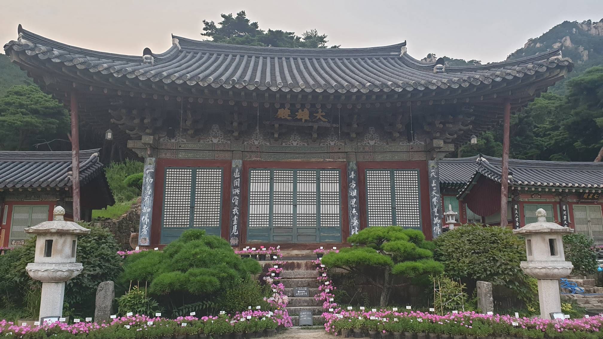
Gwallyongsa TempleExplore the temple architecture designated as a Treasure and the Buddha statue at Yongseondae.
1
Gwallyongsa TempleExplore the temple architecture designated as a Treasure and the Buddha statue at Yongseondae. -
 2
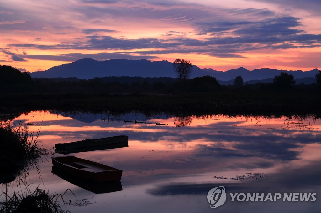
Upo WetlandWalk along the Saengmyeong-gil trail and observe the wetland and migratory bird scenery.
2
Upo WetlandWalk along the Saengmyeong-gil trail and observe the wetland and migratory bird scenery.
Food & Dining 3
-
 3
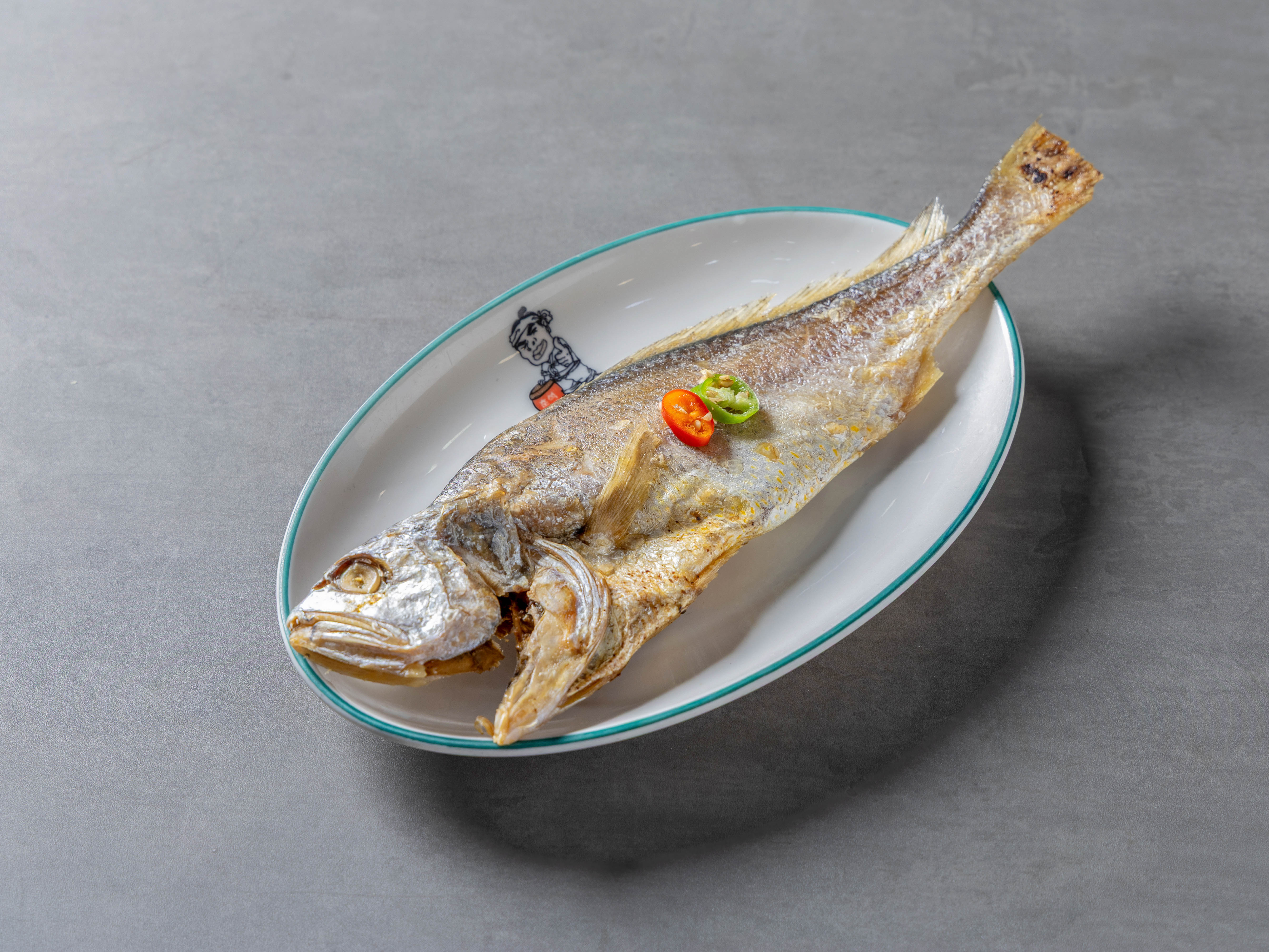
Yangban CheonggukjangEnjoy local Korean cuisine, including cheonggukjang set meals and doenjang set meals.
3
Yangban CheonggukjangEnjoy local Korean cuisine, including cheonggukjang set meals and doenjang set meals. -
 4
4
-
 5
5
Events in This Area
Festivals in This Area

More Travel Guides in This Area
 Travel Guide
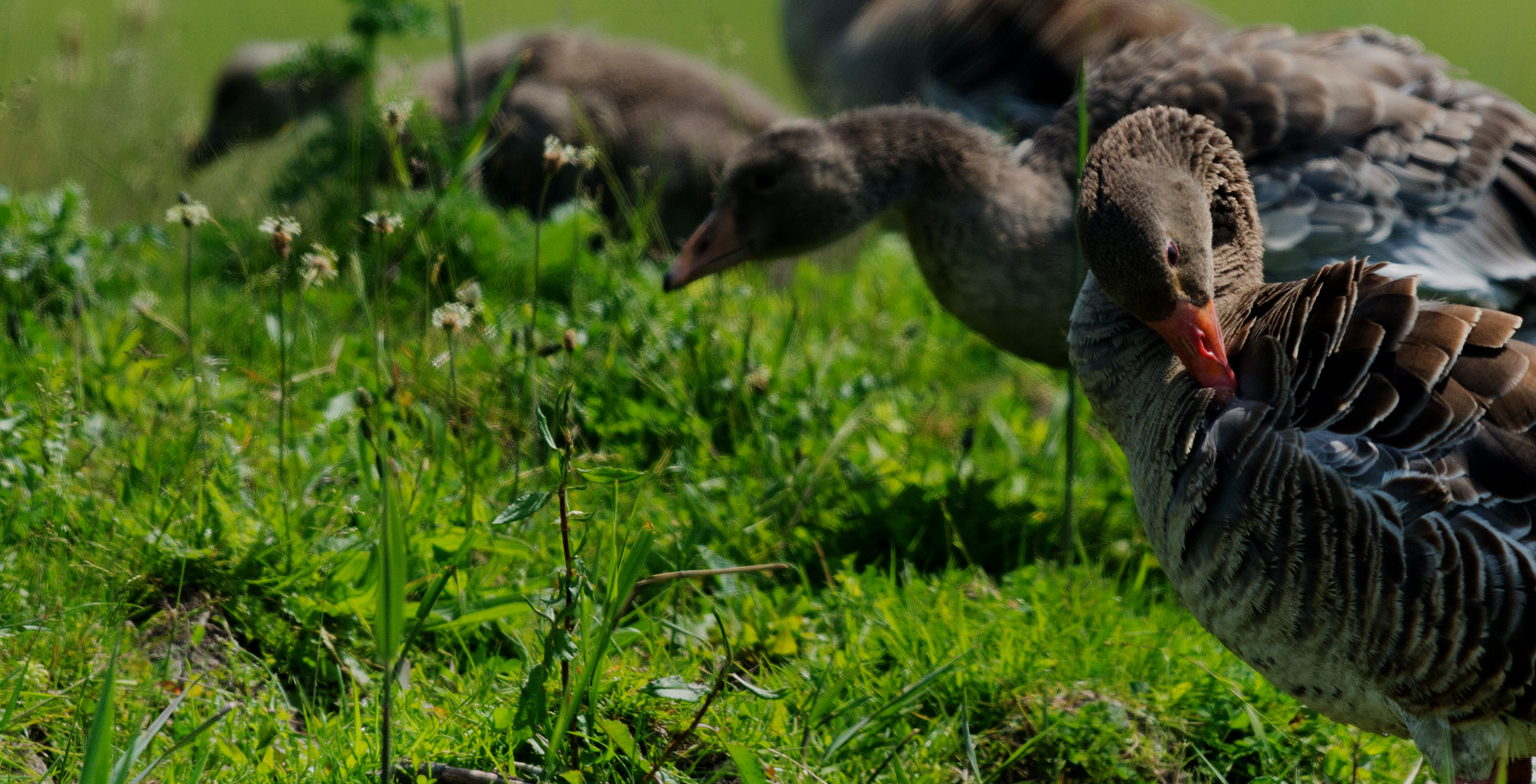
Changnyeong Upo Wetland: 140 Million Years of Marshland at Sobul
 Travel Guide
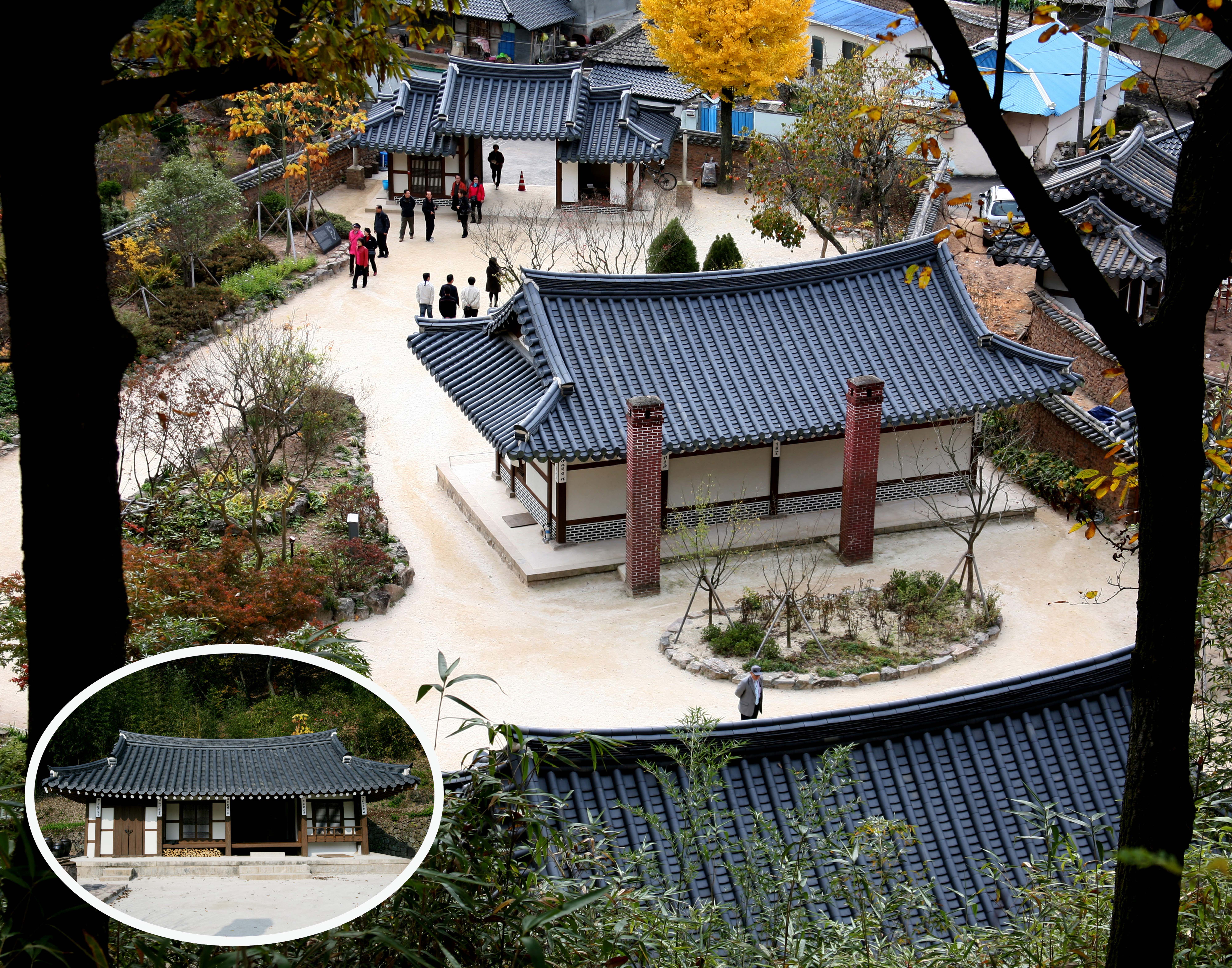
Lee Byung-chul’s Uiryeong Origins, Read in a Hanok Built in 1851
 Travel Guide
Miryang Pyochungsa Temple: Encountering the Ideals of Master Samyeong at the Foot of Jaeyaksan Mountain
 Travel Guide
Between Wanjaejeong Pavilion and Five Islands: A Late-Spring Route at Wiyangji Reservoir in Miryang
Korea News
 News
News
‘NewJeans Expulsion’ Danielle Releases Her First YouTube Video… “We Don’t Know What Will Happen Next”
![aespa’s North American Tour Has Remaining Seats Despite ‘$49’ Bargain Prices… A Stark Popularity Gap with KATSEYE [TEN Starfield]](https://kotourlive-images.s3.ap-northeast-1.amazonaws.com/news/1788485037424_a59b1932_naver_rank_thumb_0000774618_1788485037424.jpg) News
News
aespa’s North American Tour Has Remaining Seats Despite ‘$49’ Bargain Prices… A Stark Popularity Gap with KATSEYE [TEN Starfield]
![[Photo] TWICE’s Dahyun attends a film festival red carpet as an actress](https://kotourlive-images.s3.ap-northeast-1.amazonaws.com/news/1788485316508_edd43ecd_news_870a60a6-6f11-4d73-aa7c-48d91318a0f7.jpg) News
News
[Photo] TWICE’s Dahyun attends a film festival red carpet as an actress
![[On-Site Video] “We’re Departing Separately Together”… BIGBANG Begins ‘COSMOS’ World Tour](https://kotourlive-images.s3.ap-northeast-1.amazonaws.com/news/1788485226518_c5719641_news_fdd4764a-0f4e-4968-8e4e-e98a02872f88.jpg) News
News