Seoul’s Southern Landscape Seen from Gwanaksan’s 629 m Rocky Ridges and Yeonjudae
Gwanaksan is a 629-meter rocky mountain spanning Gwanak-gu and Geumcheon-gu in Seoul, as well as Gwacheon and Anyang, with several hiking trails converging at Yeonjudae. Access is convenient—Gwanaksan Station on the Sillim Line is just 70 meters from Exit 1—but the rocky ridges and steep slopes near the summit require hiking shoes and a weather check.

I’ve been here?
Your check-in helps the next traveler.
13 people viewed this week Be the first
One tap — no writing needed
A 629 m granite ridge that remained even after designation as an urban nature park in 1968
Gwanaksan is a 629 m-high mountain spanning Sillim-dong in Gwanak-gu and Siheung-dong and Doksan-dong in Geumcheon-gu, Seoul, as well as Anyang and Gwacheon in Gyeonggi-do. When Gwanak-gu was separated from Yeongdeungpo-gu in 1973, the mountain's name was adopted for the district, and many of Gwanak-gu's cultural heritage sites are connected with it.
Gwanaksan was designated an urban nature park under Ministry of Construction Public Notice No. 34 in 1968, and in 2020 its designation was changed by Seoul Metropolitan Government Public Notice No. 2020-254 to a neighborhood park and an urban nature park zone. The large rocks and rocky ridges near the summit create steep sections, so visitors should not assume that the walking trails and summit hikes have the same difficulty level.
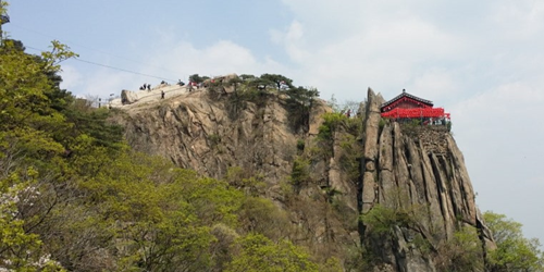
King Taejo Yi Seong-gye, the fire calamity legend, and Yeonju-dae on the cliff
According to information from Gwanak-gu Office, a story says that when King Taejo Yi Seong-gye of Joseon selected Hanyang as the capital, he built Yeonju-sa and Wongaksa to counter the fire calamity associated with Gwanaksan. Seoul's official tourism guide explains that Gwanaksan was regarded in feng shui as the “mountain of fire” because some of its peaks resemble flames.
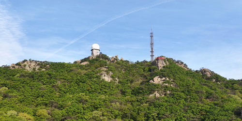
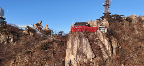
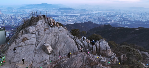
Yeonju-dae is a viewpoint on rocky terrain positioned above a cliff, and Gwanak-gu introduces it as the place where Gwanaksan's hiking trails converge. There is also a ground-based radar observatory at the summit, so temples, rocky ridges, and modern observation facilities coexist along a single ridge—one of the mountain's distinctive features.
70 m from Exit 1 of Gwanaksan Station on the Sillim Line; foreign-language guidance is inside the station
According to Seoul's official tourism guide, the main access point to Gwanaksan is about 70 m from Exit 1 of Gwanaksan Station on the Sillim Line. Even when an address is shown as a particular commercial property, the representative address for the mountain as a whole is generally given as the area around Daehak-dong, Gwanak-gu, Seoul (postal code 08826).
The Seoul Hiking Tourism Center, Gwanaksan Branch, is inside Gwanaksan Station. Its telephone number is 1533-2162, and its address is 23 Sillim-ro, Gwanak-gu, Seoul. It operates from 09:00 to 18:00 Thursday through Tuesday and is closed every Wednesday. Since it provides hiking information in Korean, English, Chinese, and Japanese, as well as equipment rentals for foreign visitors, first-time international visitors should check the routes and weather there again before setting out.
Why to allow 140 minutes for the 4.5 km Gwaneumsa–Madangbawi–Yeonju-dae route
The Gwaneumsa–Madangbawi–Yeonju-dae route, which Gwanak-gu identifies as Hiking Trail 1, covers 4.5 km and takes about 140 minutes. Since this is a one-way estimate, it is safer to plan for a schedule of at least around four hours when the return to the starting point, rest, and photography are included.
Hiking Trail 2, from the Gwanaksan entrance through Plaza 1 and Acacia Garden to Shelter 4, is 2.6 km and takes about 40 minutes. Hiking Trail 3, from Shelter 4 through Yeonju Spring and Kkaldak Pass to Yeonju-dae, is 2.0 km and takes about 80 minutes. Kkaldak Pass on Hiking Trail 3 indicates the ascent immediately before the summit, so hikers should not underestimate the physical effort simply because the distance is short.
The 2.3 km barrier-free forest trail to Plaza 2 is a different outing from the rocky summit ridge
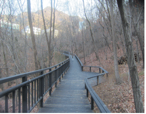
Seoul created a 2.3 km Dulle-gil trail at Gwanaksan in 2012, and Gwanak-gu's themed walking-trail guide states that there are no usage-hour restrictions on the Gwanaksan Park section and that there are restrooms at Plaza 2. This section is a gentle forest path designed with walking alongside strollers and wheelchairs in mind.
By contrast, the route toward Yeonju-dae is a hiking trail with continuous rocks and steep slopes. Seoul's official tourism guide warns that the rocky sections may be slippery after rain. Therefore, visitors accompanied by people with mobility limitations should limit their outing to the area around Plaza 2, while those aiming for the summit should plan separately and prepare hiking shoes with good traction, water, and a windbreaker.
Free and open 24 hours, but avoid the mountain after rain and the crowded summit area
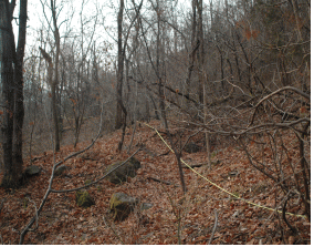
Seoul's official tourism guide states that Gwanaksan is open 24 hours every day and has no admission fee. There are also no regular closing days. However, climbing the rocky summit ridge at night requires consideration of lighting, visibility, and slipping hazards, so it is best to begin a summit hike by counting backward from the time needed to descend before sunset.
Parking is available at the paid parking lot at Gwanaksan Eutteum Park and the paid parking lot at Seoul National University, but Seoul's reservation information explicitly states that parking spaces are limited. Crowds may particularly concentrate at Yeonju-dae near the summit during holidays and weekends, so taking the Sillim Line to Gwanaksan Station and setting out in the morning is more predictable than waiting for a parking space.
If you do not plan to reach the summit, turn back at Shelter 4 in Gwanaksan Park
If completing the summit route feels too demanding, one option is to walk only the 2.6 km section from the Gwanaksan entrance through Plaza 1 and Acacia Garden to Shelter 4, which takes about 40 minutes, and then return. Including the round trip and rest, this can be planned as an outing of about 1.5 to 2 hours, making it easy to fit between other Seoul activities.
For those going to Yeonju-dae, a schedule of at least four hours that includes crossing rocky ridges is more realistic. Seoul's official tourism guide classifies Gwanaksan as a challenging mountain and advises extra caution after rain. The Dulle-gil and Shelter 4 sections are better suited than the summit route for people expecting a light park walk in sneakers, those with a fear of heights, or those concerned about knee strain.
Before You Go
- Address
- Area around Daehak-dong, Gwanak-gu, Seoul (based on access via Gwanaksan Station and Gwanaksan Park)
- Hours
- Open 24 hours
- Closed
- None
- Admission
- Free
- Official site
- https://www.gwanak.go.kr/site/gwanak/08/10802010000002026041302.jsp
- Transport
- About 70 m from Exit 1 of Gwanaksan Station on the Sillim Line. The Seoul Hiking Tourism Center, Gwanaksan Branch, is inside Gwanaksan Station.
- Parking
- Paid parking is available at Gwanaksan Eutteum Park and Seoul National University, but spaces are limited.
- Time needed
- About 1.5–2 hours round trip to Shelter 4; at least 4 hours recommended for a round trip to Yeonju-dae.
- Accessibility
- The Dulle-gil in Gwanaksan Park is a gentle, barrier-free forest path, and restrooms are available at Plaza 2. The rocky summit ridge is not suitable for wheelchair or stroller access. The Seoul Hiking Tourism Center at Gwanaksan Station provides information in Korean, English, Chinese, and Japanese.
This information is accurate as of the time of writing. Check the official guidance again before visiting.

Places
Nearby Attractions 4
-
 1
1
-
 2
2
-
 3
3
-
 4
4
Food & Dining 5
-
 5
5
-
 6
6
-
 7
7
-
 8
Sangol
8
Sangol -
 9
Todom
9
Todom
Events in This Area




Festivals in This Area


More Travel Guides in This Area
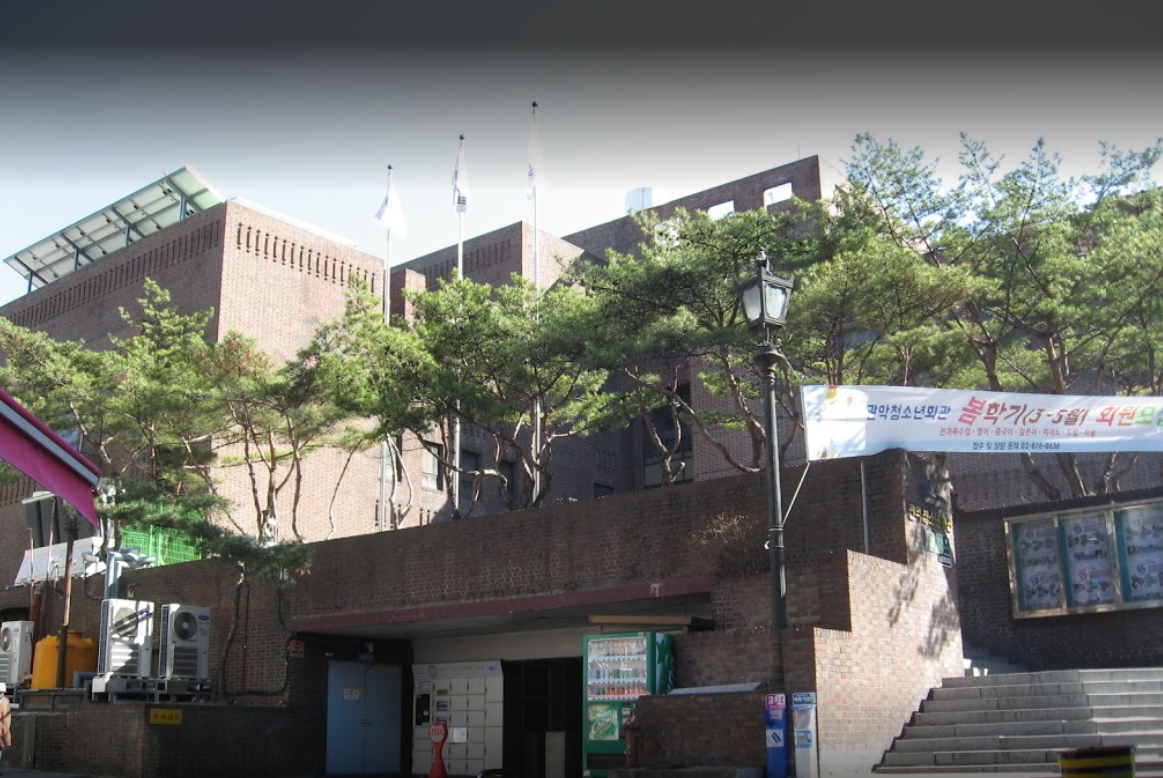 Travel Guide
Swimming, a Small Theater, and Club Rooms Next to Seoul National University Venture Town Station
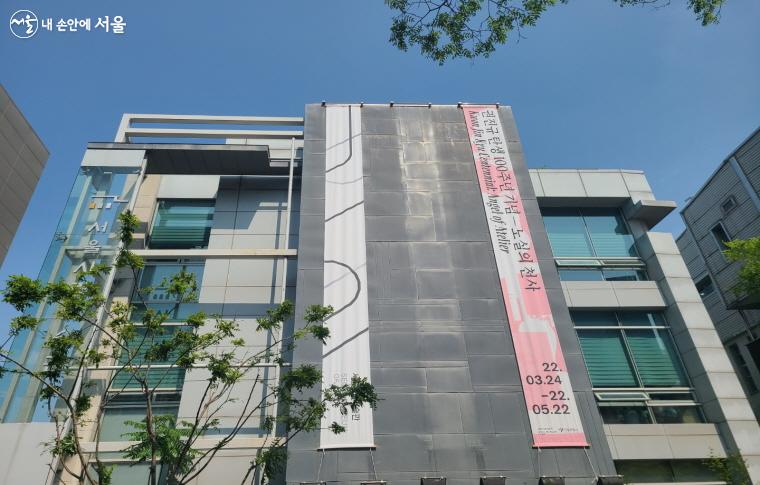 Travel Guide
From a 1928 Courthouse Building to a Contemporary Art Museum: Seoul Museum of Art Seosomun Main Branch
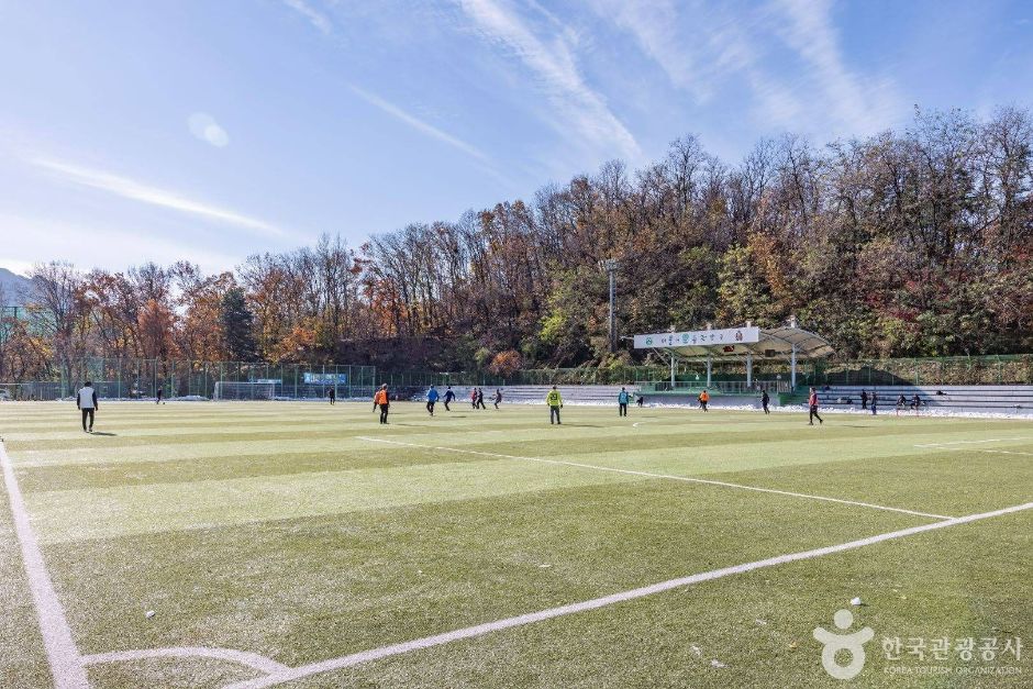 Travel Guide
Gwanak District Residents’ Sports Ground at the foot of Gwanaksan, 800 m from Exit 4 of Nakseongdae Station
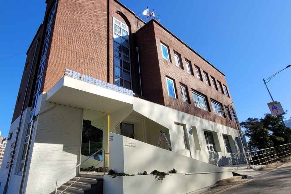 Travel Guide
A 918㎡ Youth Hub on the Hill of Sadang-ro 23-gil, Sadang Youth Center
Korea News
 News
News
‘NewJeans Expulsion’ Danielle Releases Her First YouTube Video… “We Don’t Know What Will Happen Next”
![aespa’s North American Tour Has Remaining Seats Despite ‘$49’ Bargain Prices… A Stark Popularity Gap with KATSEYE [TEN Starfield]](https://kotourlive-images.s3.ap-northeast-1.amazonaws.com/news/1788485037424_a59b1932_naver_rank_thumb_0000774618_1788485037424.jpg) News
News
aespa’s North American Tour Has Remaining Seats Despite ‘$49’ Bargain Prices… A Stark Popularity Gap with KATSEYE [TEN Starfield]
![[Photo] TWICE’s Dahyun attends a film festival red carpet as an actress](https://kotourlive-images.s3.ap-northeast-1.amazonaws.com/news/1788485316508_edd43ecd_news_870a60a6-6f11-4d73-aa7c-48d91318a0f7.jpg) News
News
[Photo] TWICE’s Dahyun attends a film festival red carpet as an actress
![[On-Site Video] “We’re Departing Separately Together”… BIGBANG Begins ‘COSMOS’ World Tour](https://kotourlive-images.s3.ap-northeast-1.amazonaws.com/news/1788485226518_c5719641_news_fdd4764a-0f4e-4968-8e4e-e98a02872f88.jpg) News
News