The 1.5 km Historic Trail of Chungju’s Haneuljae Pass, Remnant of Silla’s Gyerip Pass
Haneuljae Pass is the old Gyerip Pass connecting Chungju’s Mireukdaewon Site with Gwaneum-ri in Mungyeong, with records indicating that the route was opened in 156 CE. Starting at the Mireukdaewon Site, this historical and nature trail follows an unpaved forest path and crosses a cloud bridge.

I’ve been here?
Your check-in helps the next traveler.
No one has checked in yet Be the first
One tap — no writing needed
The 1.5 km Haneuljae Old Trail Starting at Mireukdaewonji
Haneuljae is located at 52-2 Mireuk-ri, Suanbo-myeon, Chungju-si, Chungcheongbuk-do, and the hike is Informationed as beginning at Mireukdaewonji. It is a route connecting Mireuk-ri in Chungju and Gwaneum-ri, Mungyeong-eup, Mungyeong-si, Gyeongsangbuk-do, and lies on the provincial boundary between Chungju-si, Chungcheongbuk-do, and Mungyeong-si, Gyeongsangbuk-do.
The preserved old-trail section is about 1.5 km long and follows a large valley between Mount Poamsan to the north and Bubong Peak of Mount Juheulsan to the south. Although it is Informationed as open year-round, Woraksan National Park advises visitors to check the designated mountain-entry hours and trail-control status before hiking, so it is safest to check the control information on the official website first on the day of your hike.
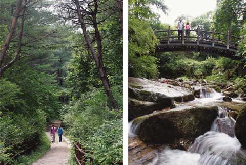
Why Gyeripnyeong in AD 156 Became Today’s Haneuljae
Haneuljae’s old name was Gyeripnyeong. The Samguk Sagi records that the Gyeripnyeong route was opened in AD 156, the third year of the reign of King Adalla of Silla, and introduces it as the first mountain pass documented in Korean literature.
This route was a strategic stronghold contested by Silla and Goguryeo, Later Goguryeo and Later Baekje, and Goryeo. Prince Maui is said to have passed through Haneuljae on his way to Mount Geumgang, carrying the sorrow of his fallen kingdom, and King Gongmin is said to have crossed it in 1362 while fleeing the Red Turban invasions for Cheongnyangsan in Bonghwa County. Thus, today’s walking trail is not simply a forest path; it shows traces of a travel route that connected Chungju and Mungyeong.
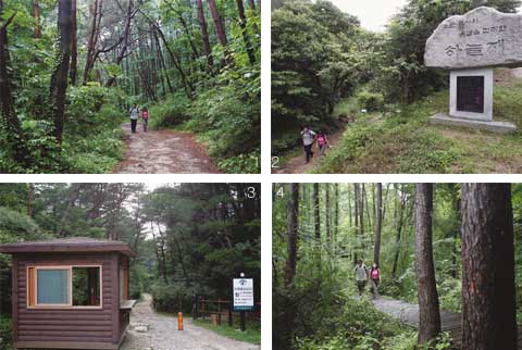
The 30-Minute Mireukdaewonji Course and 1-Hour Haneuljae Course Are Different
The Mireukdaewonji course on the Haneuljae Historic Observation Trail is Informationed as 1 km long and taking 30 minutes. The Haneuljae course is also 1 km long, but is listed as taking 1 hour, so visitors should distinguish between an itinerary limited to the area around Mireukdaewonji and one that climbs to the mountain pass.
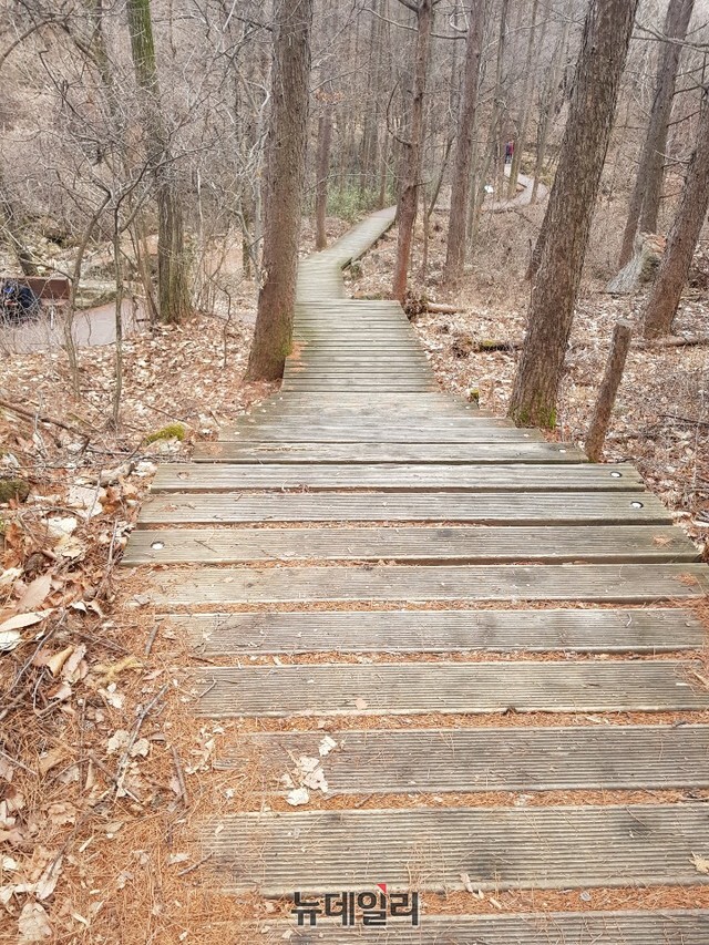
The Haneuljae course runs from the Haneuljae-ro entrance along the Haneuljae Historic Nature Observation Trail, a cloud bridge, and a Japanese larch path. The entire Haneuljae trek is Introductioned as approximately 3 hours, with a trail length of about 4 km, so including the round trip and nearby historic sites makes it closer to a long half-day itinerary than a short walk.
Mount Poamsan and the Baekdu Daegan Seen from the 525 m Mountain Pass
Haneuljae has an elevation of approximately 525 m. From the summit observatory, visitors are Informationed as being able to see scenery along the Baekdu Daegan toward Mansubong, Mount Poamsan, Bubong Peak, and Maepaebong. It is also a good point for understanding the mountain contours and valley terrain of Woraksan together.
Plants around Haneuljae include hwangjangmok pine, red pine, daimyo oak, and Japanese black pine, while flowers mentioned along the path include balsam, saw-wort, and beggarweed. However, the entire route, including the observatory and forest trail, is also Informationed as a roughly 3-hour course, so it is not suitable for visitors expecting a flat walk and arriving in slippers.
Stone Heritage Easy to Miss at Mireukdaewonji
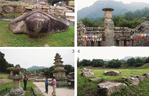
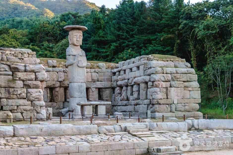
Mireukdaewonji, connected to Haneuljae, is a temple site built in a mountain valley of Woraksan, with a stone grotto serving as its main worship hall. The site Informationes that visitors can see the Stone Standing Buddha of Mireuk-ri, Chungju; the Five-story Stone Pagoda of Mireuk-ri, Chungju; a three-story stone pagoda; a stone lantern; and the pedestal of a Buddha statue.
Mireukdaewonji is classified as a historic site on the National Heritage Portal, while the official national heritage name of Haneuljae itself is “Haneuljae on the Gyeripnyeong-ro in Chungju.” Haneuljae was designated Scenic Site No. 49, a state-designated cultural heritage, in December 2008, allowing visitors to explore the temple site and mountain pass along one route.
Open Year-Round and Free, but On-Site Conditions May Differ
Haneuljae’s visiting hours are Informationed as open year-round, with no separate closing day listed. Some sources state that admission is free, but the latest official or public-agency fee schedule could not be confirmed, so visitors should check Mireukdaewonji’s individual operating conditions and trail-control status on the same day.
Parking is Informationed as available, but parking fees could not be confirmed. The available information does not confirm whether an on-site ticket booth operates, whether there are queues, whether payment is cash-only, whether photography is prohibited, or whether English information and an audio guide are available. The Haneuljae course is Informationed as including accessibility facilities, but wheelchair and stroller access throughout the entire trail could not be confirmed.
What to Confirm Before Departing by Calling Woraksan National Park
The official website is the Woraksan National Park website (https://worak.knps.or.kr/), and the main telephone number is 043-653-3250. The main fax number is 043-653-3255, and the park information address is listed as 1647 Mireuksonggye-ro, Hansu-myeon, Jecheon-si, Chungcheongbuk-do. However, it may be confused with the address of the visiting site, so confirmation is necessary.
Woraksan National Park was designated Korea’s 17th national park in 1984 and covers 287.571 km². Its main peak is Yeongbong, listed at an elevation of 1,097 m. Before setting out for Haneuljae, check the designated mountain-entry hours and trail-control status on the official website. If you need further information, the most practical approach is to call the main number and ask about parking, same-day controls, and accessibility conditions.
Understanding the Distance When Crossing from Mireuk-ri, Chungju, to Gwaneum-ri, Mungyeong
The distance from Mireuk-ri in Chungju to Haneuljae is approximately 2 km and is Introductioned as taking about 30–40 minutes on foot. Since crossing Haneuljae leads to Gwaneum-ri in Mungyeong, visitors who leave a car at the Mireuk-ri starting point and continue to the opposite side must make separate plans for transportation back.
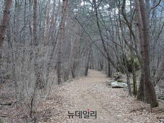
The road at the entrance to Mireukdaewonji, paved roads, accessibility facilities, and a ginkgo-lined path are Informationed as included in the walking route. After that, the route continues through a cloud bridge, a Japanese larch path, and an unpaved old trail, allowing visitors to distinguish on site between a 30-minute itinerary focused only on the historic sites and an itinerary of at least 1 hour that climbs to Haneuljae.
Before You Go
- Address
- 52-2 Mireuk-ri, Suanbo-myeon, Chungju-si, Chungcheongbuk-do
- Hours
- Open year-round
- Admission
- Some sources state that admission is free, but the latest official or public-agency fee schedule could not be confirmed.
- Phone
- 043-653-3250
- Official site
- https://worak.knps.or.kr/
- Transport
- The Haneuljae hike is Informationed as starting at Mireukdaewonji and follows a route connecting Mireuk-ri in Chungju and Gwaneum-ri in Mungyeong.
- Parking
- Parking is Informationed as available. Parking fees could not be confirmed.
- Time needed
- According to official and public sources, the Mireukdaewonji course takes 30 minutes, the Haneuljae course 1 hour, and the entire trek approximately 3 hours.
- Accessibility
- The Haneuljae course is Informationed as including accessibility facilities, but wheelchair and stroller access throughout the entire Haneuljae trail could not be confirmed.
The information above is current as of the time of writing. Check the official information again before visiting.

Places
Nearby Attractions 2
-
 1
Chungju Mireukdaewonji SiteExplore the temple site and stone artifacts dating from the late Silla to early Goryeo periods.
1
Chungju Mireukdaewonji SiteExplore the temple site and stone artifacts dating from the late Silla to early Goryeo periods. -
 2
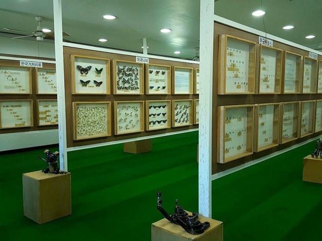
Suanbo Insect MuseumView insect specimens and enjoy ecology and creative hands-on activities.
2
Suanbo Insect MuseumView insect specimens and enjoy ecology and creative hands-on activities.
Food & Dining 2
-
 3
3
-
 4
OmigaEnjoy pheasant shabu-shabu, assorted mushroom hot pot, and freshwater snail hangover soup.
4
OmigaEnjoy pheasant shabu-shabu, assorted mushroom hot pot, and freshwater snail hangover soup.
Events in This Area

Festivals in This Area

More Travel Guides in This Area
 Travel Guide
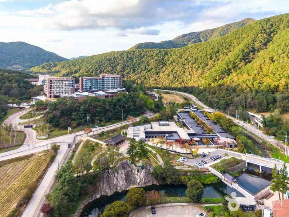
250 m of mildly alkaline hot spring water in Suanbo before crossing Joryeong Pass
 Travel Guide
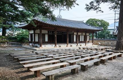
Traces of a 1681 Government Office and the Yeonpung Holy Ground Route
 Travel Guide
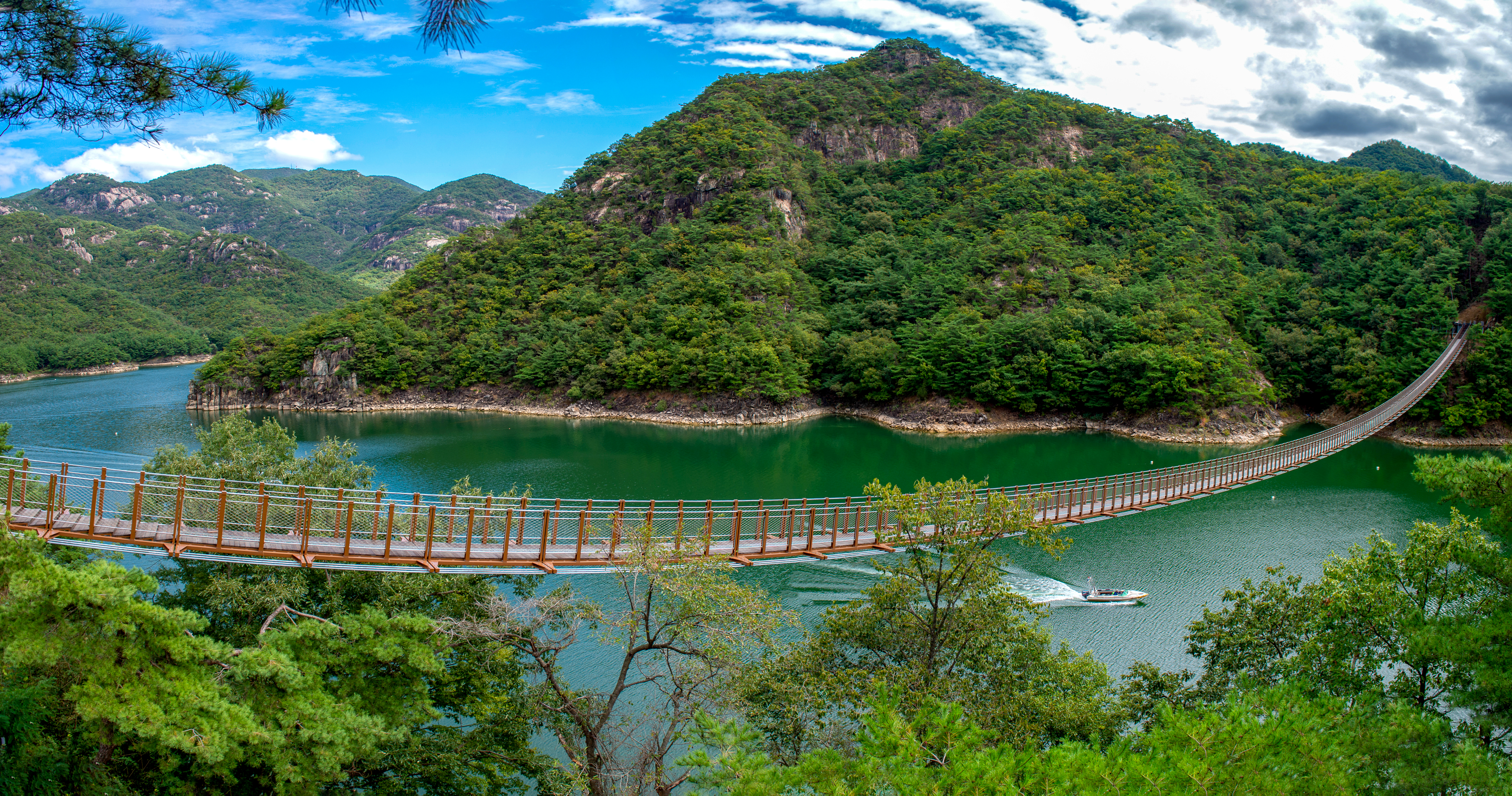
A Lakeside Walk in Jecheon, Facing Scenic Site No. 48, Oksunbong, at the End of a 222 m Bridge
 Travel Guide
Jecheon’s Sotdae Sculptures at the Neungg עשotdae Cultural Space by Cheongpung Lake
Korea News
![Did Jang Won-young ‘break up’? From the airport to social media, she was decked out in Brand D [MD Issue]](https://kotourlive-images.s3.ap-northeast-1.amazonaws.com/news/1790644492843_025fcab4_news_06d49363-285b-4cd5-93e3-ace2c4344710.jpg) News
News
Did Jang Won-young ‘break up’? From the airport to social media, she was decked out in Brand D [MD Issue]
 News
News
Oh, What a Surprise… BLACKPINK’s Rosé—Did She Get a Bob Cut?
![[On-Site Photos] “Equipped with a Third Eye”… RM’s Intense Eye Contact](https://kotourlive-images.s3.ap-northeast-1.amazonaws.com/news/1790644823332_c0c6ec29_news_001c0a59-4eb7-40e6-af6a-4f26183f5e8c.jpg) News
News
[On-Site Photos] “Equipped with a Third Eye”… RM’s Intense Eye Contact
 News
News