Starting in Seogwipo: How to Understand the Olle Trail via Jeju Olle Route 6, 10.1 km
Jeju Olle is a 437-kilometer, 27-route long-distance walking trail named after the Jeju dialect word “olle.” If you are taking your first walk from Seogwipo’s old downtown, the 10.1-kilometer Route 6 connecting Soesokkak and the Jeju Olle Tourist Center is the most practical starting point.

I’ve been here?
Your check-in helps the next traveler.
64 people viewed this week Be the first
One tap — no writing needed
How ‘Olle,’ launched in 2007, became 437 km across 27 routes
‘Olle’ is a Jeju dialect word meaning a narrow alleyway connecting the main road to the gate of a home. Jeju Olle takes its name from this word and is a long-distance walking trail created by connecting old roads, village paths, and coastal roads that are difficult for vehicles to access. In 2007, Seo Myeong-suk began developing trails in Jeju after being inspired by her experience on Spain’s Camino de Santiago pilgrimage route. According to the current official guide, the network now covers a total of 437 km and operates across 27 routes.
The terrain of Jeju’s volcanic island determines the character of its walking paths. The routes continue past low volcanic cones called oreum, black basalt stone walls, and paths between the coast and fields. The official introduction explains that the trails connect roads once used by Jeju residents with unpaved paths in their natural state. Therefore, Jeju Olle is not a tourist attraction where visitors enter a single site, but a way of traveling that involves actually moving between the starting and ending points of a selected route.
Distances of Routes 6, 7, and 7-1, which are convenient to choose from central Seogwipo
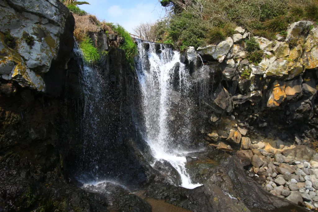
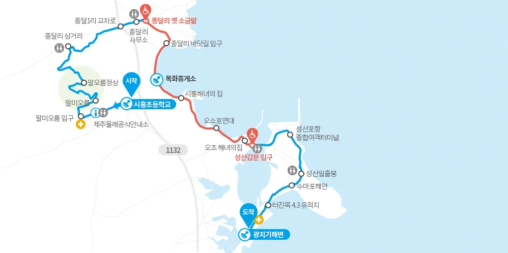
The shortest regular route from the Jeju Olle Tourist Center at 22 Jungjeong-ro, Seogwipo-si, is Route 6. From Soesokkak to the Tourist Center, it is 10.1 km, with an official estimated time of 3–4 hours and a difficulty level of “easy.” Passing Soesokkak, Socheonji, Sojeongbang Falls, the area around Jeongbang Falls, and I Jung-seop Street before entering central Seogwipo, it is easy to fit into a half-day itinerary.
Route 7 runs 12.9 km from the Jeju Olle Tourist Center to the Seogwipo Bus Terminal, taking 3–4 hours and rated “moderate.” Route 7-1, which runs in the opposite direction, extends 15.7 km from the Seogwipo Bus Terminal to the Tourist Center, takes 4–5 hours, and is also rated “moderate.” Rather than walking Route 7 immediately after Route 6 simply because you still have energy, it is safer to finish just one 10.1 km route on the first day and move to another area the next day.
- Route 6: Soesokkak → Jeju Olle Tourist Center, 10.1 km, 3–4 hours, difficulty: easy
- Route 7: Jeju Olle Tourist Center → Seogwipo Bus Terminal, 12.9 km, 3–4 hours, difficulty: moderate
- Route 7-1: Seogwipo Bus Terminal → Jeju Olle Tourist Center, 15.7 km, 4–5 hours, difficulty: moderate
- Route 8: Wolpyeong → Daepyeong, 19.3 km, 5–6 hours, difficulty: moderate
Things to take care of before setting out from the Jeju Olle Tourist Center at 22 Jungjeong-ro
The address of the organization operating Jeju Olle and the Tourist Center is 2nd floor, 22 Jungjeong-ro, Seogwipo-si, Jeju Special Self-Governing Province, postal code 63592. The main telephone number is 064-762-2190, the fax number is 064-733-2170, and the email address is [email protected]. The official website is https://www.jejuolle.org, and it is advisable to check the distance, difficulty, and temporary detour notices for each route again just before departure.
Jeju Olle itself is an outdoor walking trail, so there is no admission fee and no scheduled closing day. However, the Tourist Center’s information services and stamps, as well as facilities such as restrooms, shops, and waterfalls along the routes, have different operating hours and closing days depending on the location and require separate confirmation. Since the center is the endpoint of Route 6 and the connection point for Routes 7 and 7-1, it is a convenient place to finish refilling water, using the restroom, and checking your return route.
Connecting to the trailheads by bus: 142 Soesokkak-ro and 9217 Iljudong-ro
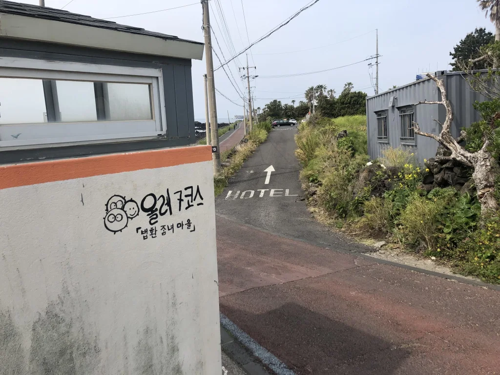
The address of the Soesokkak Information Center, the information center for the Route 6 trailhead, is 142 Soesokkak-ro, Seogwipo-si, and its telephone number is 064-732-1562. The official information center at the Route 7-1 trailhead is the Seogwipo Intercity Bus Terminal, located at 9217 Iljudong-ro, Seogwipo-si, with telephone number 070-4152-1753. The official information base for Route 7 is the Jeju Olle Tourist Center; its address, 22 Jungjeong-ro, and telephone number, 064-762-2167, are also listed among the information centers.
Bus timetables and stop locations may change depending on the season and route revisions, so check them on the day using the Jeju Bus Information System or a map app. In a past record of travel along Route 6, there was a case of taking bus 201 from the Lifelong Learning Center stop in central Seogwipo toward the entrance to Harye 1-ri, but this should not be treated as fixed operating information. If you walk a one-way route by rental car, you will need to arrange how to retrieve the car from the endpoint. It is therefore better to plan a bus, taxi, or accompanying vehicle first rather than parking at the starting point.
- Route 6 trailhead information center: 142 Soesokkak-ro, 064-732-1562
- Route 7-1 trailhead information center: 9217 Iljudong-ro, 070-4152-1753
- Route 7 information base: 22 Jungjeong-ro, 064-762-2167
- Jeju Olle main contact: 064-762-2190
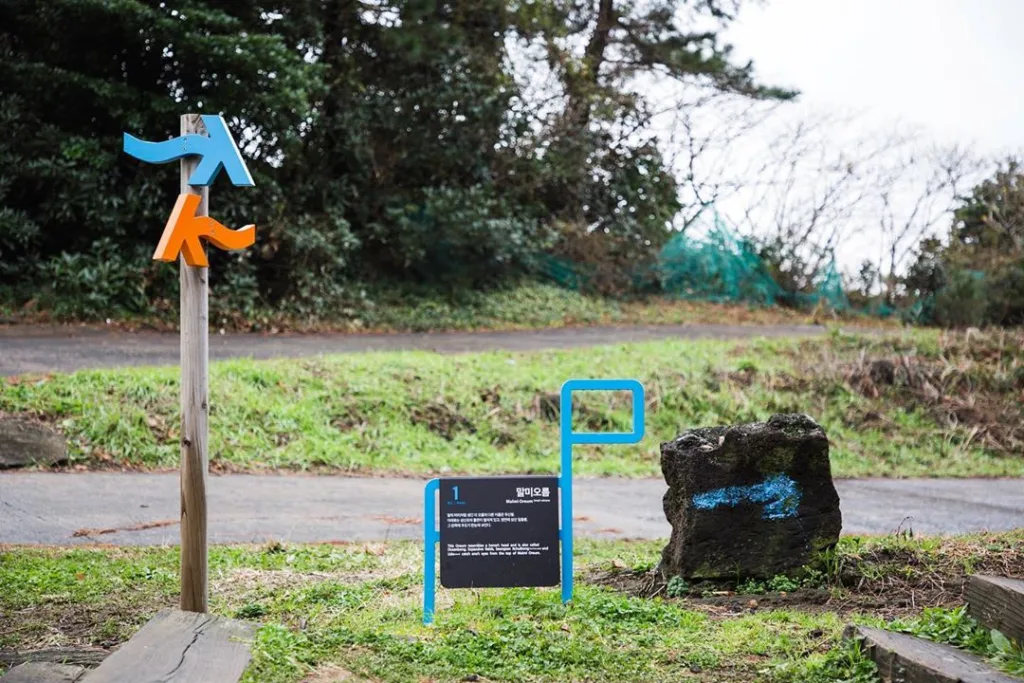
How not to lose your way from the blue and orange ribbons and Ganse markers
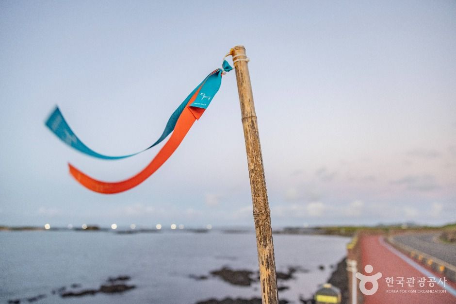
Finding your way on Jeju Olle does not rely on a map alone. The official app, “Olle Pass,” provides route-following, route-deviation alerts, and nearby stamp alerts, using location permissions. First-time walkers should check before departure whether the app’s offline maps are available and inspect their phone battery, while also preparing a paper map or screenshots.
Basalt and coastal rocks can be slippery after rain, and Route 6 also passes through coastal, urban, and waterfall areas, so sneakers or trekking shoes with good traction are recommended. Even on a 3–4-hour route, bring water, a hat, a lightweight windbreaker, a power bank, and adhesive bandages. Because it can be difficult to use every section of the regular routes continuously with a wheelchair or stroller when unpaved paths, rocky roads, and stairs may be included, contact Jeju Olle about the latest condition of each route before traveling.
Seogwipo’s everyday neighborhoods along Route 6, leading to Jeongbang Falls and I Jung-seop Street
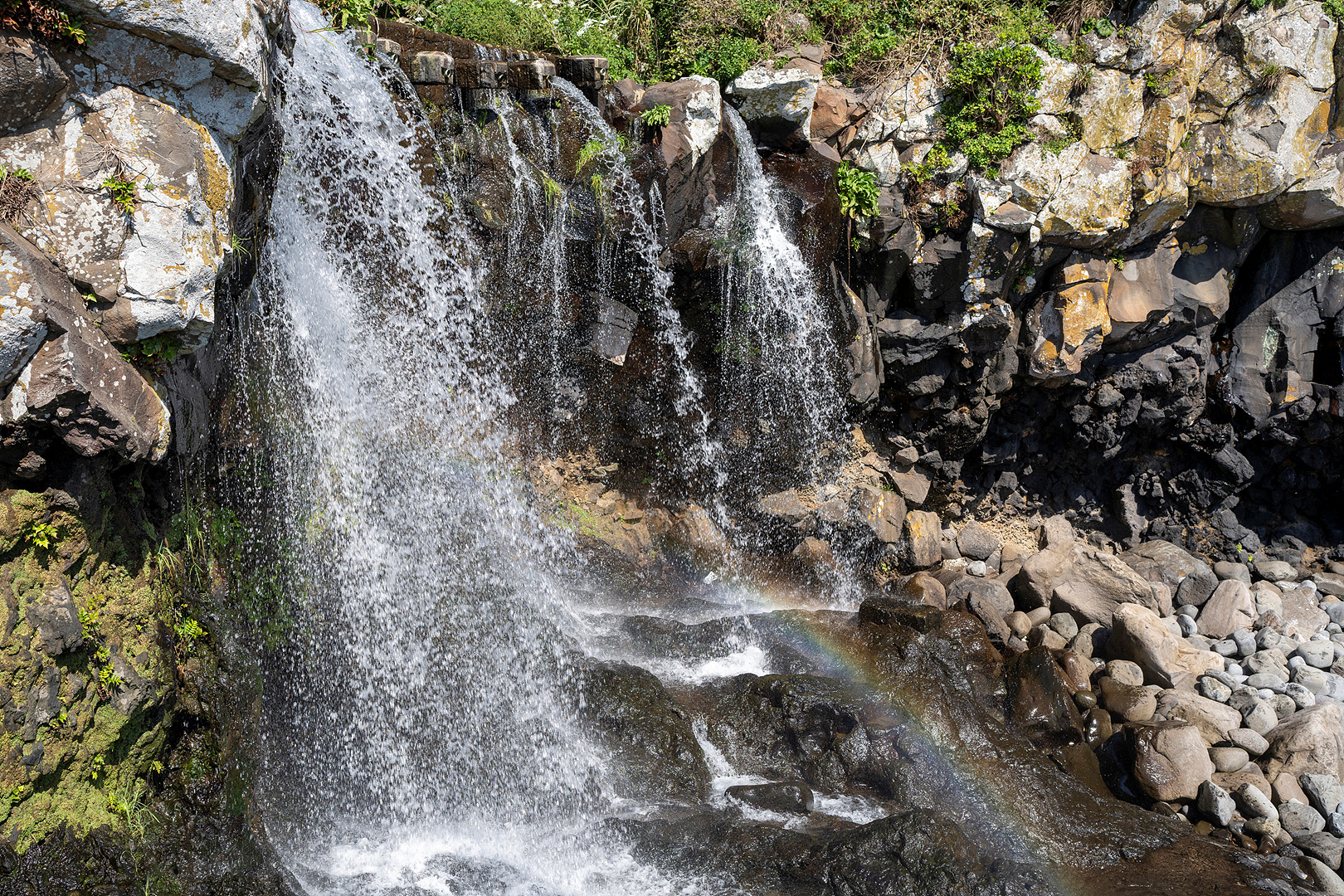
Route 6 starts at Soesokkak and reaches the Tourist Center after passing near Sojeongbang Falls and Jeongbang Falls, I Jung-seop Street, and central Seogwipo. In other words, it is not merely a coastal promenade for viewing the sea, but a route that crosses Seogwipo’s everyday neighborhoods on foot, where waterfall scenery is mixed with a harbor, shops, and residential areas. If you plan to visit a separately paid attraction such as Jeongbang Falls, check that facility’s admission cutoff time and fees separately from the free Jeju Olle walk.
If you need to save time, it is better to finish the full 10.1 km of Route 6 at the Tourist Center and add I Jung-seop Street or Seogwipo Maeil Olle Market as separate walking itineraries. Conversely, continuing on to Route 7 adds 12.9 km according to the official figures alone, making at least 23 km when combined with Route 6. You should set out sufficiently early to arrive at the endpoint before sunset and return by public transportation.
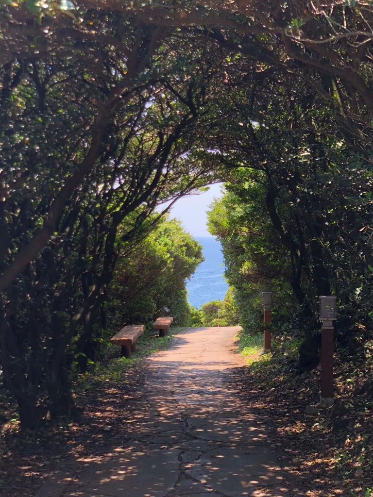
Why to avoid the 19.3 km Route 8 and 20.9 km Route 3 on your first day
Not every route in the Jeju Olle network is a light stroll. Route 3, from Onpyeong to Pyoseon, is 20.9 km, takes 6–7 hours, and is rated “difficult.” Route 4, from Pyoseon to Namwon, is 19 km, takes 5–6 hours, and is rated “moderate.” Route 8, from Wolpyeong to Daepyeong, is also 19.3 km and takes 5–6 hours, so it can be a difficult choice for travelers unfamiliar with long-distance walking, on their arrival day, on rainy days, or in the midday heat of midsummer.
For travelers experiencing Jeju Olle for the first time, the 10.1 km Route 6 is a practical choice when both distance and the route back to the city are considered. If you plan to walk across the island over several days, choose accommodation locations by comparing the official difficulty ratings and times, such as Route 1 at 15.1 km and 4–5 hours, Route 2 at 14.8 km and 4–5 hours, and Route 5 at 13.4 km and 4–5 hours. Route changes and temporary detour notices may be posted at any time, so check the official notices on the day of departure.
Before You Go
- Address
- 2nd floor, 22 Jungjeong-ro, Seogwipo-si, Jeju Special Self-Governing Province
- Hours
- The Jeju Olle trail is an outdoor walking path available at all times, but check the individual operating hours of information centers and attractions
- Closed
- The Jeju Olle trail itself has no regular closing day
- Admission
- Free
- Phone
- 064-762-2190
- Official site
- https://www.jejuolle.org
- Transport
- The Route 6 trailhead information center is at 142 Soesokkak-ro, Seogwipo-si (064-732-1562), and the Route 7-1 trailhead is at the Seogwipo Intercity Bus Terminal, 9217 Iljudong-ro (070-4152-1753). Checking bus routes and times on the day through the Jeju Bus Information System or a map app is recommended
- Parking
- One-way routes have different starting and ending points, so a vehicle-retrieval plan is necessary. Check separately whether parking is available at the Tourist Center and each route base, as well as any fees
- Time needed
- First-time visitors are recommended to walk Route 6, 10.1 km, in 3–4 hours
- Accessibility
- Because unpaved paths, rocky roads, and stairs may be included, continuous use of the entire route with a wheelchair or stroller may be difficult. Contact Jeju Olle for the latest conditions of each route
The information above is current as of the time of writing. Check the official guidance again before visiting.

Places
Nearby Attractions 5
-
 1
1
-
 2
2
-
 3
3
-
 4
4
-
 5
5
Food & Dining 1
-
 6
6
Events in This Area


Festivals in This Area

More Travel Guides in This Area
 Travel Guide
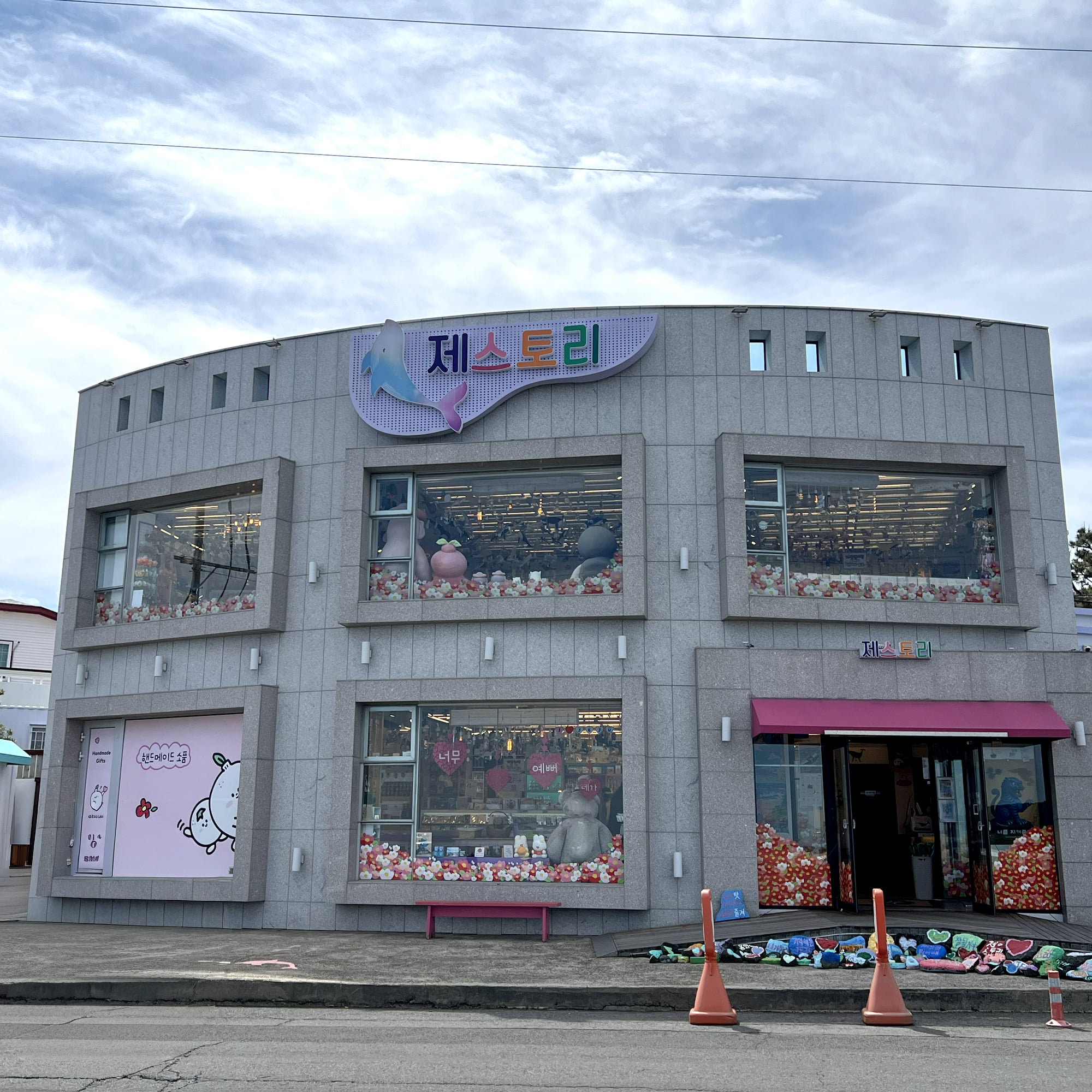
A 2nd-floor accessories shop in front of Beophwan Port, Jeju artists’ items selected at J-Story
 Travel Guide
Seogwipo Public Library Facing Hallasan at the Foot of Sammaebong
 Travel Guide
Seogwipo’s Cheonjiyeon Falls and the 22 m Watercourse of Its Subtropical Forest, Walkable Until 10 p.m.
 Travel Guide
Waterfalls, Saeseom Island and Alleys on the 8.9 km Hayoung Olle Route 1 through Seogwipo’s Old Downtown
Korea News
 News
News
‘NewJeans Expulsion’ Danielle Releases Her First YouTube Video… “We Don’t Know What Will Happen Next”
![aespa’s North American Tour Has Remaining Seats Despite ‘$49’ Bargain Prices… A Stark Popularity Gap with KATSEYE [TEN Starfield]](https://kotourlive-images.s3.ap-northeast-1.amazonaws.com/news/1788485037424_a59b1932_naver_rank_thumb_0000774618_1788485037424.jpg) News
News
aespa’s North American Tour Has Remaining Seats Despite ‘$49’ Bargain Prices… A Stark Popularity Gap with KATSEYE [TEN Starfield]
![[Photo] TWICE’s Dahyun attends a film festival red carpet as an actress](https://kotourlive-images.s3.ap-northeast-1.amazonaws.com/news/1788485316508_edd43ecd_news_870a60a6-6f11-4d73-aa7c-48d91318a0f7.jpg) News
News
[Photo] TWICE’s Dahyun attends a film festival red carpet as an actress
![[On-Site Video] “We’re Departing Separately Together”… BIGBANG Begins ‘COSMOS’ World Tour](https://kotourlive-images.s3.ap-northeast-1.amazonaws.com/news/1788485226518_c5719641_news_fdd4764a-0f4e-4968-8e4e-e98a02872f88.jpg) News
News