From Gunpo Surisan Provincial Park to Taeeulbong Peak: A Practical Hiking Route for First-Timers
Gunpo Surisan Provincial Park is a mountainous provincial park spanning Gunpo, Anyang, and Ansan. It became Gyeonggi-do’s third provincial park in July 2009. Starting points include Surisan Station and the parking lot in Sokdal-dong, with options ranging from a one-hour course to a 4.5-hour traverse.
I’ve been here?
Your check-in helps the next traveler.
12 people viewed this week Be the first
One tap — no writing needed
In July 2009, it became a provincial park connecting Gunpo, Anyang, and Ansan
Surisan Provincial Park was designated as Gyeonggi Province’s third provincial park in July 2009. The mountain itself extends across Anyang-dong, Manan-gu, Anyang-si; Sokdal-dong, Gunpo-si; and Suam-dong, Sangnok-gu, Ansan-si, Gyeonggi-do, and the total area of Surisan is 36.155㎢. Of this area, Gunpo-si accounts for 10.475㎢, Anyang-si for 19.5㎢, and Ansan-si for 6.18㎢.
The official planned area announced for the provincial park is 7.035㎢. The park is subject to conservation and management planning under the Natural Parks Act, and the 2021–2030 conservation and management plan was addressed alongside procedures for gathering opinions from local residents, relevant experts, and local organizations. In 2023, the installation of campgrounds and sports facilities was also included in the review of proposed park-plan changes.
From Gyeonbulsan to Surisa, three origins preserved in the name
Surisan was also called Gyeonbulsan (見佛山) or Surisan (修李山). Three theories about the origin of the place name have been passed down. One says it was named Surisan because the rocks resemble an eagle; another says the name came from Surisa Temple, founded during the reign of King Jinheung of Silla; and the third says the name originated when a royal descendant of the Joseon period practiced ascetic cultivation here.
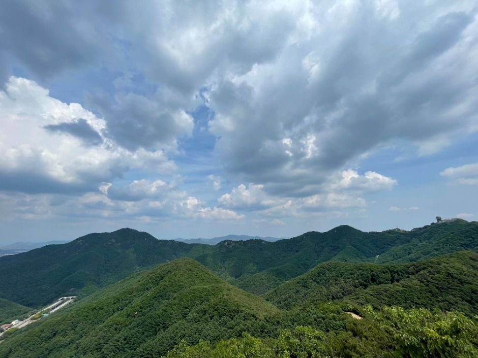
The mountain’s present topography is connected to its geological and geomorphological setting as part of the Gwangju Mountain Range. The peaks and cliffs consist mainly of quartzite made of weathering- and erosion-resistant white mica schist, while relatively weaker biotite banded gneiss and augen gneiss are distributed in the valleys. Mongolian oak, sawtooth oak, and Mongolian oak dominate the upper forest layer, while pine trees appear in small patches in some areas.
How to choose a route based on 489 m Taeeulbong
Surisan’s highest peak is Taeeulbong, approximately 489 m high; other sources list it as 489.2 m. Along the ridge are Gwanmobong at approximately 426 m and Suambong at approximately 395 m, while Seulgibong is listed as either 451.5 m or 469.3 m depending on the source. Because of the elevation differences and ridge and slope sections, the experience is closer to hiking than to a walk on level ground.
The longest of the routes Informationed by Gunpo-si is Route 1, which runs 8.7 km from Surisan Station via Seulgibong, Taeeulbong, and Gwanmobong to Suri Mineral Spring, with an Informationed duration of 4 hours 30 minutes. The shorter option is Route 2, which climbs Seulgibong from the Yongjinsa Temple entrance via Seongbulsa Temple and the Meeting Plaza; it is listed as 1.1 km and 1 hour. Route 5, which crosses Gwanmobong, Taeeulbong, and Seulgibong from Suri Mineral Spring, is 6.1 km and takes 3 hours 40 minutes.
Should you start at Surisan Station or the Sokdal-dong parking lot?
First-time visitors approaching from Gunpo can use Surisan Station as their main access point. Since an 8.7 km traverse connecting Seulgibong, Taeeulbong, and Gwanmobong is Informationed from Surisan Station, starting the hike at the station is the clearest plan. However, confirmed Informations do not include the exact subway exit number, bus route number, stop name, or walking time from the station to the trail entrance.
Visitors traveling by car can enter the address of the Surisan Provincial Park parking lot as their destination: 287-74 Sokdal-ro, Gunpo-si, Gyeonggi-do. A project to create Parking Lot 1, including one restroom building, was Promotioned in the area around 245-15 Sokdal-dong, Gunpo-si. Since the number of available spaces and parking fees have not been confirmed, do not assume that parking is free.
A mountain park that is open year-round but may be closed due to weather
Surisan Provincial Park is Informationed as open at all times throughout the year, and admission is free. However, access may be restricted depending on weather conditions, so it is safer not to plan a ridge route as usual on days when rain, snow, or strong winds are expected. Rather than being an indoor-style tourist attraction where visitors buy tickets at a booth and follow a designated viewing route, this is a park where visitors choose and walk mountain trails and ridges.
No confirmed information was found on official seasonal operating hours, whether photography is prohibited, whether English Informations or audio guides are available, or whether any facilities accept cash only. As this is a mountain hiking destination, the sections actually accessible to wheelchairs and strollers have also not been comprehensively confirmed. Foreign visitors making their first trip should not mistake it for a light urban park simply because admission is free; they should prepare suitable shoes and weather-appropriate clothing.
Facilities to check at the parking-lot restroom before hiking
The public restroom at the Surisan Provincial Park parking lot was registered as open at all times as of November 27, 2024. The managing institution is the Gyeonggi Province Parks and Greenery Division, and the inquiry telephone number is 031-8008-8256. This number is registered as the telephone number for the institution managing the parking-lot public restroom, not as the park’s main number.
The restroom is registered as having one men’s accessible toilet and five women’s toilets, and emergency bells are installed. The registered postal code is 15889. If you choose a long route, Route 1 takes 4 hours 30 minutes and Route 5 takes 3 hours 40 minutes, so it is practical to plan the restroom location, water, and snacks before setting out.
When adding the forest playground and forest therapy area to your route
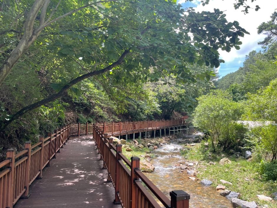
The Surisan forest therapy area on the side of Sanbon Complex 8 includes a foot-pressure acupressure course. The provincial park also has a wildflower garden, wetland deck, and forest playground, allowing visitors to organize their time around nature learning and relaxation without climbing to a summit. However, confirmed Informations do not provide the operating hours of these facilities or the exact distances between them.
From the Anyang side, a route climbing Surisan from Byeongmokan Citizens Park is Informationed. From the Ansan side, there is a course running from the back road of Jungang Hospital or the tomb of Yi Ik via Neogurisan, Baram Pass, Suambong, Gwanmobong, Taeeulbong, and Seulgibong. Since changing the starting city changes the entrance and descent point even on the same Surisan, first choose one of Surisan Station, Sokdal-dong, or Byeongmokan Citizens Park, then decide whether you will make a round trip or travel one way.
Recommended length of stay and precautions for first-time visitors
If you want a short walk, the 1.1 km and 1-hour Information for Route 2 can serve as a reference. If you want to experience all the ridge peaks, allow 8.7 km and 4 hours 30 minutes for Route 1. As an intermediate option, Route 5 is 6.1 km and takes 3 hours 40 minutes. The Surisan perimeter trail is separately Informationed as 16 km, so confusing it with the summit route in the same itinerary can greatly increase your time at the park.
Surisan suits hikers who want to experience 489 m Taeeulbong, quartzite peaks, and valley forests, but it may not suit visitors seeking flat paved walking paths and reliable foreign-language Informations. Moles, Korean hares, red squirrels, raccoon dogs, and weasels have been reported to inhabit the area, and the park has been Introductioned as a place visited by more than 3 million hikers annually. On the day of your visit, it is safest to first check whether access is restricted due to weather and how long the selected route will take as a round trip.
Before You Go
- Address
- Areas around Sokdal-dong, Gunpo-si, Gyeonggi-do
- Hours
- Open at all times. Access may be restricted depending on weather conditions.
- Closed
- Open year-round. Access may be restricted depending on weather conditions.
- Admission
- Free
- Phone
- 031-8008-8256
- Official site
- https://www.gg.go.kr/bbs/boardView.do?bIdx=12352395&bcIdx=599&bsIdx=469&menuId=1547&page=3
- Transport
- The main access point from Gunpo is Surisan Station; from Anyang, a route starting at Byeongmokan Citizens Park is Informationed.
- Parking
- The Surisan Provincial Park parking lot is registered at 287-74 Sokdal-ro, Gunpo-si, Gyeonggi-do, and a project to create Parking Lot 1 was Promotioned. Parking fees could not be confirmed.
- Time needed
- Depending on the route, approximately 1 hour to 4 hours 30 minutes based on reviews and route information
- Accessibility
- Surisan is a mountain hiking destination, and official materials do not comprehensively confirm the presence of stairs, slopes, or unpaved mountain trails.
The information above is current as of the time of writing. Check the official Information again before visiting.

Places
Nearby Attractions 3
-
 1
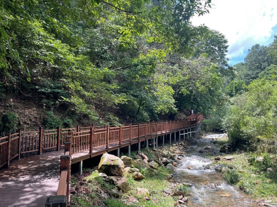
Byeongmokan Citizens ParkA citizens’ park where you can relax and stroll around an artificial waterfall and a grassy plaza.
-
 2
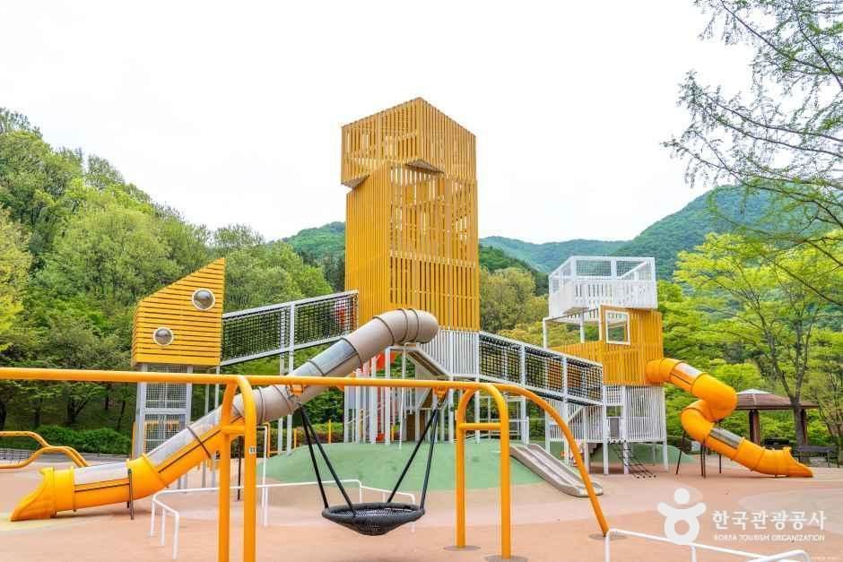
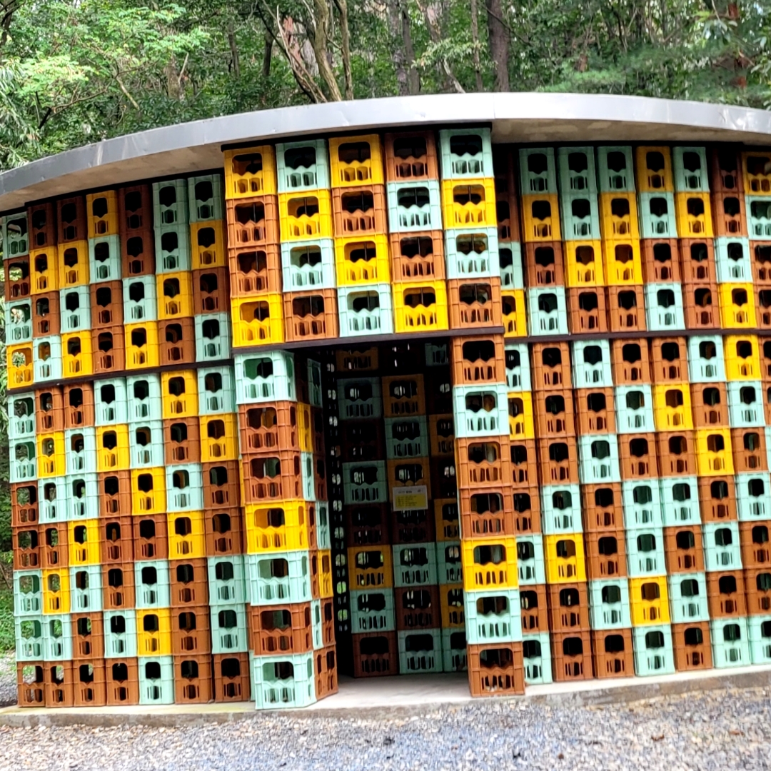
Anyang Art ParkAn art park where you can walk around and enjoy outdoor artworks and cultural heritage sites.
-
 3
Chomakgol Ecological ParkAn ecological park where you can enjoy nature observation, walking, and camping.
Food & Dining 3
-
 4
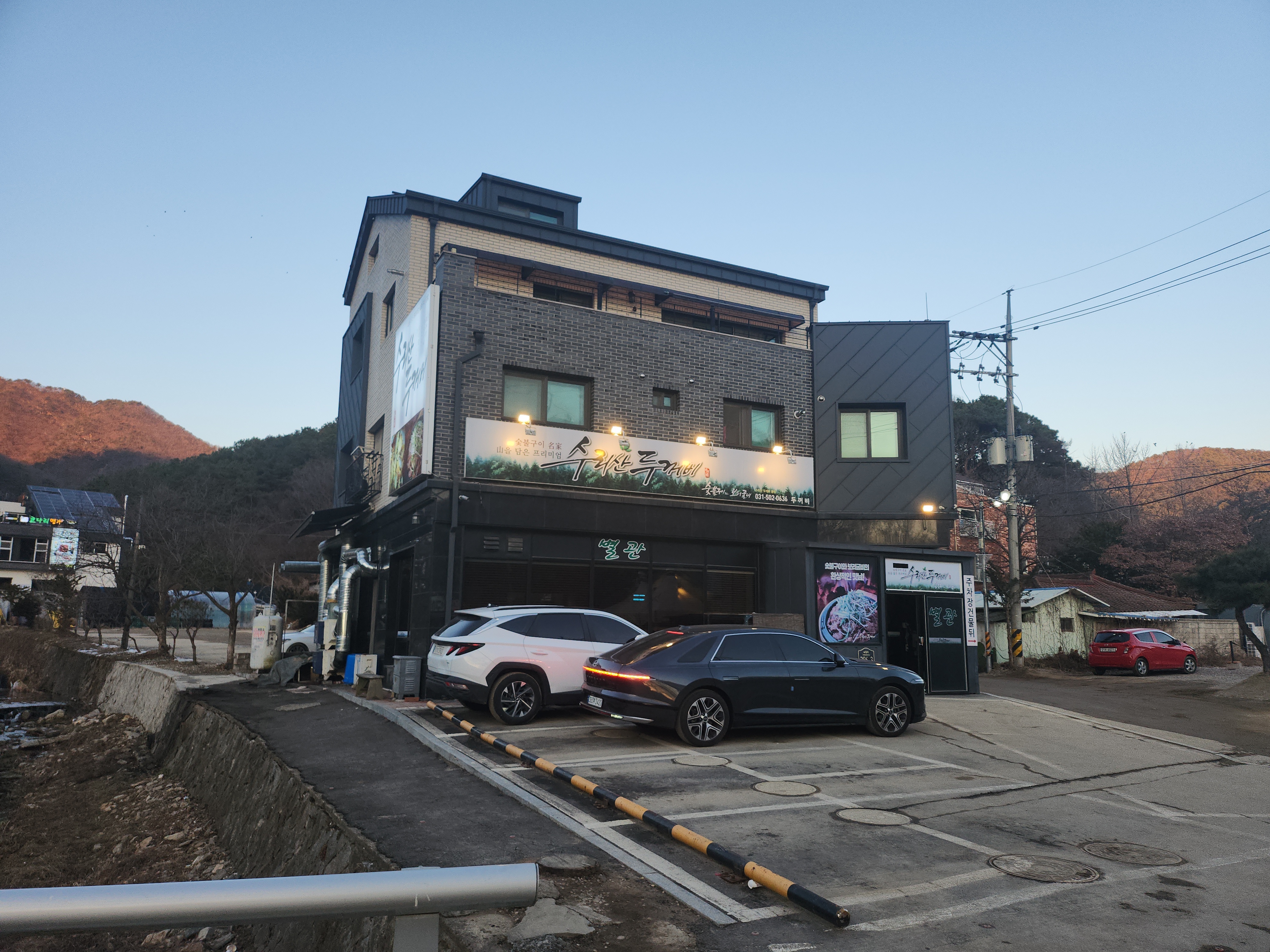
Surisan Duggobi Main BranchA Korean restaurant serving gochujang charcoal-grilled dishes and kongtang, a soybean-based soup.
-
 5
-
 6
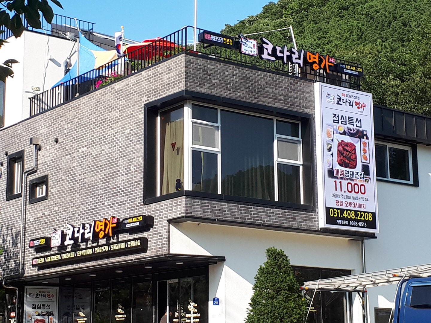
Hansang Charim Kodari Myeongga Surisan BranchA restaurant serving spicy braised pollock and semi-dried pollock.
Events in This Area




Festivals in This Area

More Travel Guides in This Area
 Travel Guide
Gunpo Azalea Garden, Where 200,000 Azaleas Cover Sanbon’s Urban Center in Late April
 Travel Guide
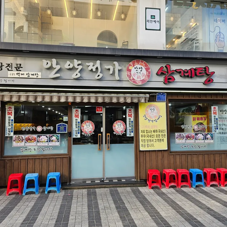
Anyang Jeongga Samgyetang, continuing for over 40 years in the alley of Anyang 1st Street
 Travel Guide
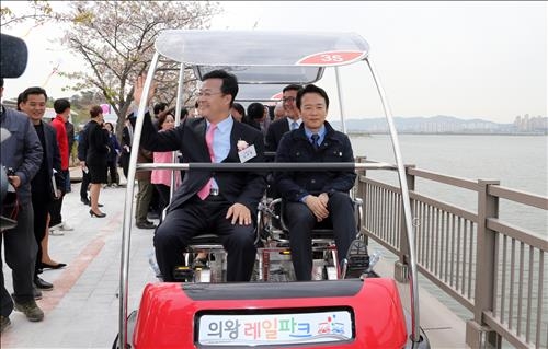
Uiwang Rail Bike, Pedaling 4.3 km Around Wangsong Lake, from Reservation to Last Departure
 Travel Guide
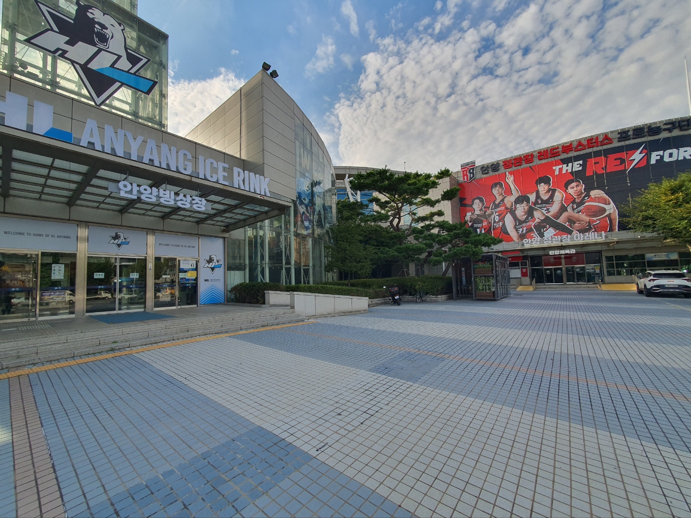
Anyang City Corporation Ice Rink Located on B1 of Anyang Sports Complex
Korea News
 News
'There Is No Danielle': NewJeans Unleashes a Massive B-Cut Collection to Celebrate the 4th Anniversary of Their Fandom, Bunnies
 News
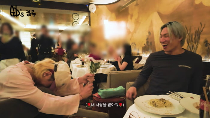
G-Dragon Kneels to Propose in Public…The Recipient Turns Out to Be Daesung: “We’re Still Newlyweds”
 News
ATEEZ’s San, the Grand Duke of the North with Rock-Solid Abs
 News