How to Get to Gwaneumbong from Gyeryongsan National Park with Cheonhwangbong Closed
Gyeryongsan National Park is a mountainous national park designated in 1968 as South Korea’s second national park. Because access to the summit of Cheonhwangbong is restricted as it lies within a military protection zone, actual hiking destinations should be set as Gwaneumbong, Sambulbong, or Yeoncheonbong. Check the distance and bus routes for each trailhead in advance.

I’ve been here?
Your check-in helps the next traveler.
No one has checked in yet Be the first
One tap — no writing needed
The Extent of Gyeryongsan, Designated the Second National Park in 1968
Gyeryongsan National Park was designated as South Korea’s second national park in 1968 and covers 64.176㎢. The park spans Gongju, Nonsan, and Gyeryong in Chungcheongnam-do, as well as parts of Daejeon Metropolitan City, so it is not a mountain with only one entrance.
The name Gyeryongsan is said to come from the resemblance of its ridgeline to a dragon wearing a rooster’s comb. Centered around Cheonhwangbong Peak, the mountain has 16 peaks and approximately 10 valleys. The main trailheads are Donghaksa to the east, Gapsa to the west, and Sinwonsa to the south.
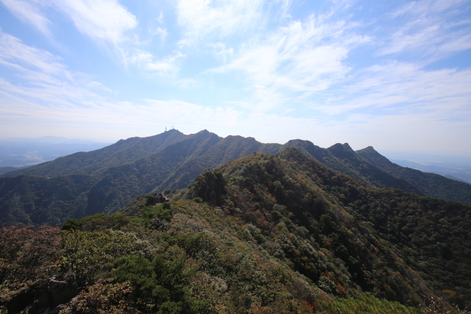
Why You Cannot Reach the Summit of Cheonhwangbong Peak at 847 m
Cheonhwangbong Peak, the highest peak of Gyeryongsan, is listed at an elevation of 847 m, but the summit area is a military protection zone and civilian access is restricted. Therefore, if you expect a hike reaching the highest peak shown on the map, your plan may need to change on site.
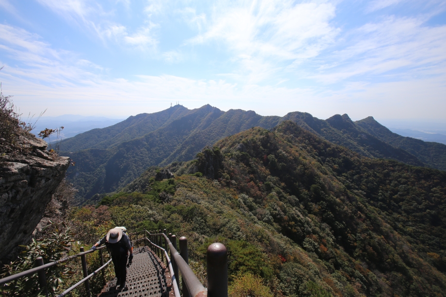
The representative high point actually reached by visitors is Gwaneumbong Peak at 765.8 m. Along the main ridge are Ssalggaebong Peak at 830.6 m, Sambulbong Peak at 777.1 m, Gwaneumbong Peak at 765.8 m, Yeoncheonbong Peak at 742.9 m, and Munpilbong Peak at 735.6 m. Hiking proceeds by connecting these peaks.
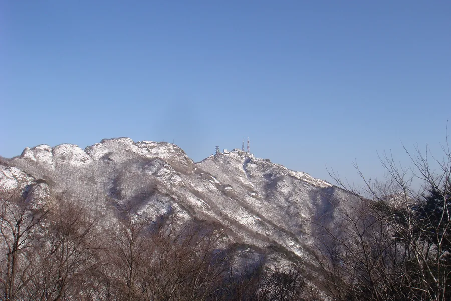
4.4 km from Donghaksa to Reach Gwaneumbong in the Shortest Time
If Gwaneumbong is your destination, Donghaksa Course 1, starting from Donghaksa Parking Lot, is introduced as the official shortest course. Passing Donghaksa and Eunsen Waterfall, the one-way distance to Gwaneumbong is 4.4 km, the estimated time is 2 hours 30 minutes, and the difficulty is moderate.
For a longer ridge hike, you can choose Donghaksa Course 2. This 11.8 km course starts and ends at Donghaksa Parking Lot, passing Donghaksa, Eunsen Waterfall, Gwaneumbong Pass, Yeoncheonbong, Gwaneumbong, Sambulbong, and Nammaetap. The estimated time is 6 hours, and the difficulty is challenging.
3.8 km from Gapsa Parking Lot to Sambulbong
Entering from the Gapsa side, Gapsa Course 1 covers 3.8 km one way from Gapsa Parking Lot to Sambulbong, passing Gapsa and Geumjandi Pass. The estimated time is 2 hours 30 minutes, and the difficulty is listed as moderate.
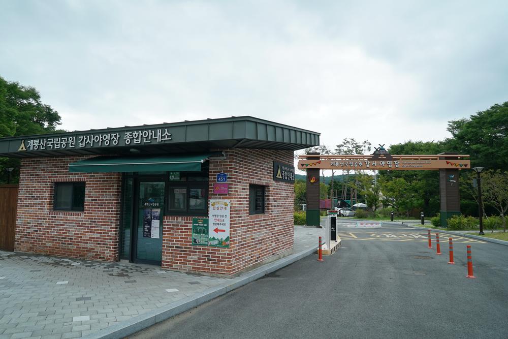
Gapsa Course 2 is 10.2 km, takes 5 hours, and is challenging. Entering the address for Gapsa into a navigation system does not mean the mountain trail begins immediately, so after parking, distinguish Gapsa Parking Lot from the actual trail signs. Gapsa Automobile Campground is also located near the entrance to Gapsa, and solar power facilities with a total capacity of 152 kW have been installed on the parking lot and auxiliary-building roofs.
The Difference Between Sinwonsa’s 3.2 km and Cheonjeong’s 5.8 km
Sinwonsa Course 1 is 3.2 km from Sinwonsa Parking Lot to Yeoncheonbong, passing Sinwonsa and Gowangam Hermitage. The listed estimated time is 4 hours 50 minutes, and the difficulty is moderate. Sinwonsa Course 2, which crosses Yeoncheonbong and connects the main ridges, is 9.9 km, takes 5 hours, and is challenging.
The Cheonjeong Course starts at the Cheonjeong Trail Support Center and continues 5.8 km via Mungol Junction, Keunbaej a e, and Nammaetap to the trail information center. The estimated time is 3 hours, and the difficulty is moderate. The park’s official trails are listed as nine courses: Donghaksa 1 and 2, Gapsa 1 and 2, Sinwonsa 1 and 2, Sutonggol 1 and 2, and Cheonjeong.
Traveling from Gongju Terminal to Gapsa and Donghaksa
For the Gapsa direction, route 321 runs from the terminal to Gapsa according to the Gongju City Hall route information, while route 320 operates from Sanseong-dong to Gapsa. For Donghaksa, route 350 runs from Sanseong-dong to Donghaksa.
Route 310 operates from Sanseong-dong to Sinwonsa, while route 340 departs from Sinwonsa and runs to Chungnam National University via Gapsa and Jungjang. Gongju Transportation inquiry phone numbers are 041-854-3161 and 041-854-3162. On Saturdays, Sundays, public holidays, and during school vacations, some sections may operate flexibly or not at all, so foreign travelers are advised to save their bus departure points and destinations in Korean.
Free Admission and Parking Fees by Trailhead
Chungnam Tourism lists Gyeryongsan National Park as open year-round, every day. National park admission fees were completely abolished on January 1, 2007, and admission fees for the cultural heritage sites at Donghaksa, Gapsa, and Sinwonsa have also been free since May 4, 2023.
Parking fees at Donghaksa and Gapsa parking lots are listed as 2,000 won for compact cars, 4,000 won for passenger cars, and 8,000 won for large buses; Sinwonsa Parking Lot is free. Chungnam Tourism states that parking facilities and restrooms are available in the park, but the exact number of available parking spaces at the Gapsa address has not been confirmed in publicly available information.
Check the Museum and Trail-Control Information Before Hiking the Rocky Paths
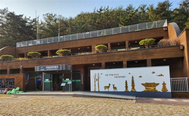
The National Park Museum opened in Gyeryongsan National Park on November 14, 2023. Its total area, including exhibition rooms and storage facilities, is 505㎡. The collection contains 1,070 items: 387 artifact materials, 421 folk materials, 168 historical materials from the Korea National Park Service, and 94 biological specimens.
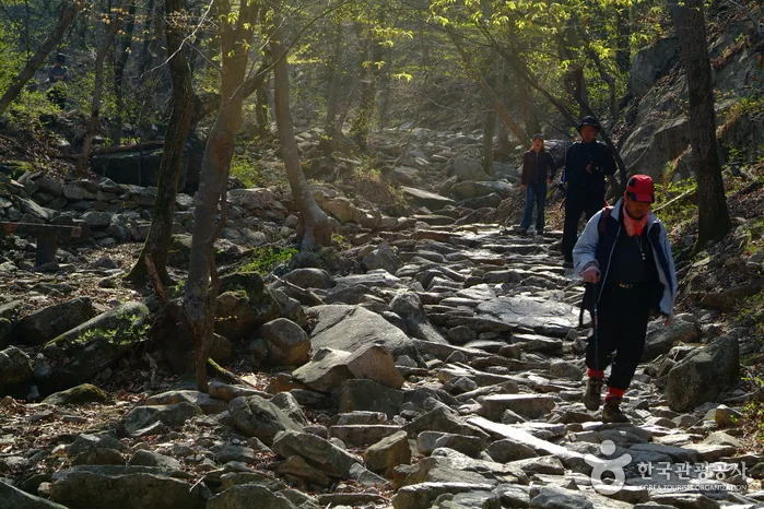
The museum is open Tuesday through Sunday from 10:00 to 17:00 and closed on Mondays; admission is free. Before hiking, check the Korea National Park Service’s designated mountain-entry hours and trail-control status. The service describes Easy sections as flat paths that are easy for wheelchair and stroller users to navigate, but major trails such as Gwaneumbong may include rocky paths and steep slopes, making course selection important for stroller users even within the same park.
Before You Go
- Address
- 567-3 Gapsa-ro, Gyeryong-myeon, Gongju-si, Chungcheongnam-do
- Hours
- Open year-round according to Chungnam Tourism. However, check designated entry hours and trail-control status for each trail before visiting.
- Closed
- Open year-round according to Chungnam Tourism.
- Admission
- National park admission is free. Admission fees for the cultural heritage sites at Donghaksa, Gapsa, and Sinwonsa have also been listed as free since May 4, 2023.
- Phone
- 042-820-3100
- Official site
- https://gyeryong.knps.or.kr/front/portal/visit/visitCourseMain.do?menuNo=7020086&parkId=120200
- Transport
- Gongju city buses 320 and 321 toward Gapsa, 310 toward Sinwonsa, 350 toward Donghaksa, and 340 toward Sinwonsa–Gapsa–Chungnam National University. Check the Gongju City Hall timetable for operating days and times.
- Parking
- Donghaksa and Gapsa parking lots: 2,000 won for compact cars, 4,000 won for passenger cars, and 8,000 won for large buses. Sinwonsa Parking Lot is listed as free.
- Time needed
- Based on reviews and course information, the one-way Donghaksa Course 1 to Gwaneumbong takes about 2 hours 30 minutes, while Donghaksa Course 2 takes about 6 hours. The recommended length of stay for the entire park has not been confirmed.
- Accessibility
- The Korea National Park Service describes Easy sections as flat-surfaced areas with gentle slopes that are easy for wheelchair and stroller users to navigate. Major hiking courses such as Gwaneumbong may include rocky paths, stairs, and steep sections.
The information above is current as of the time of writing. Check the official guidance again before visiting.

Places
Nearby Attractions 3
-
 1
1
-
 2
2
-
 3
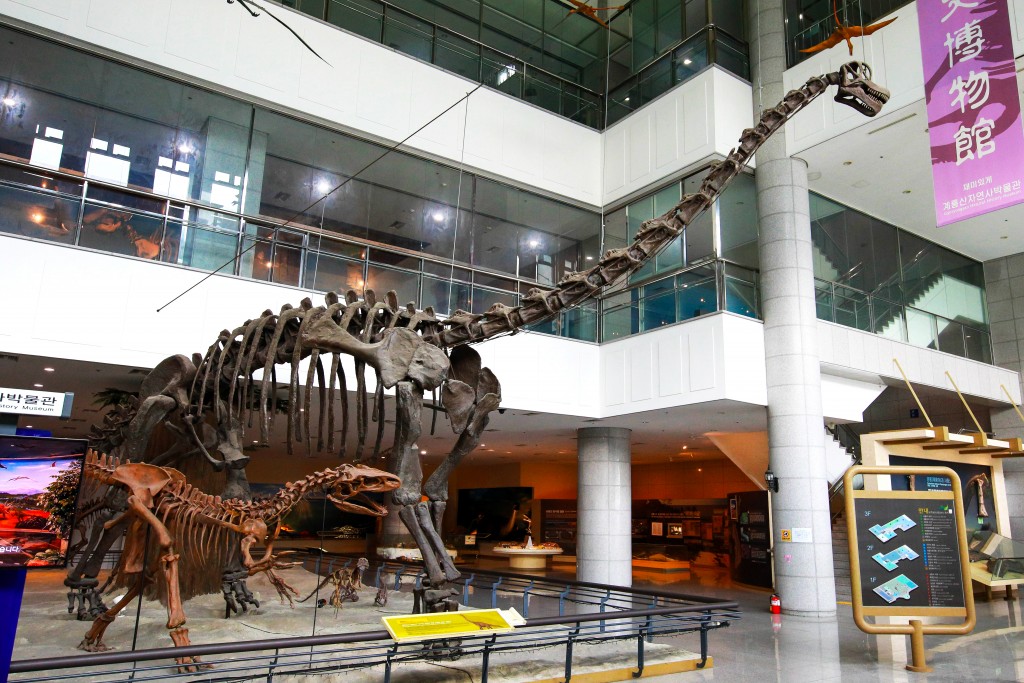
Korea Natural History MuseumA museum featuring natural history exhibits, including dinosaurs, meteorites, and mammoths.
3
Korea Natural History MuseumA museum featuring natural history exhibits, including dinosaurs, meteorites, and mammoths.
Food & Dining 3
-
 4
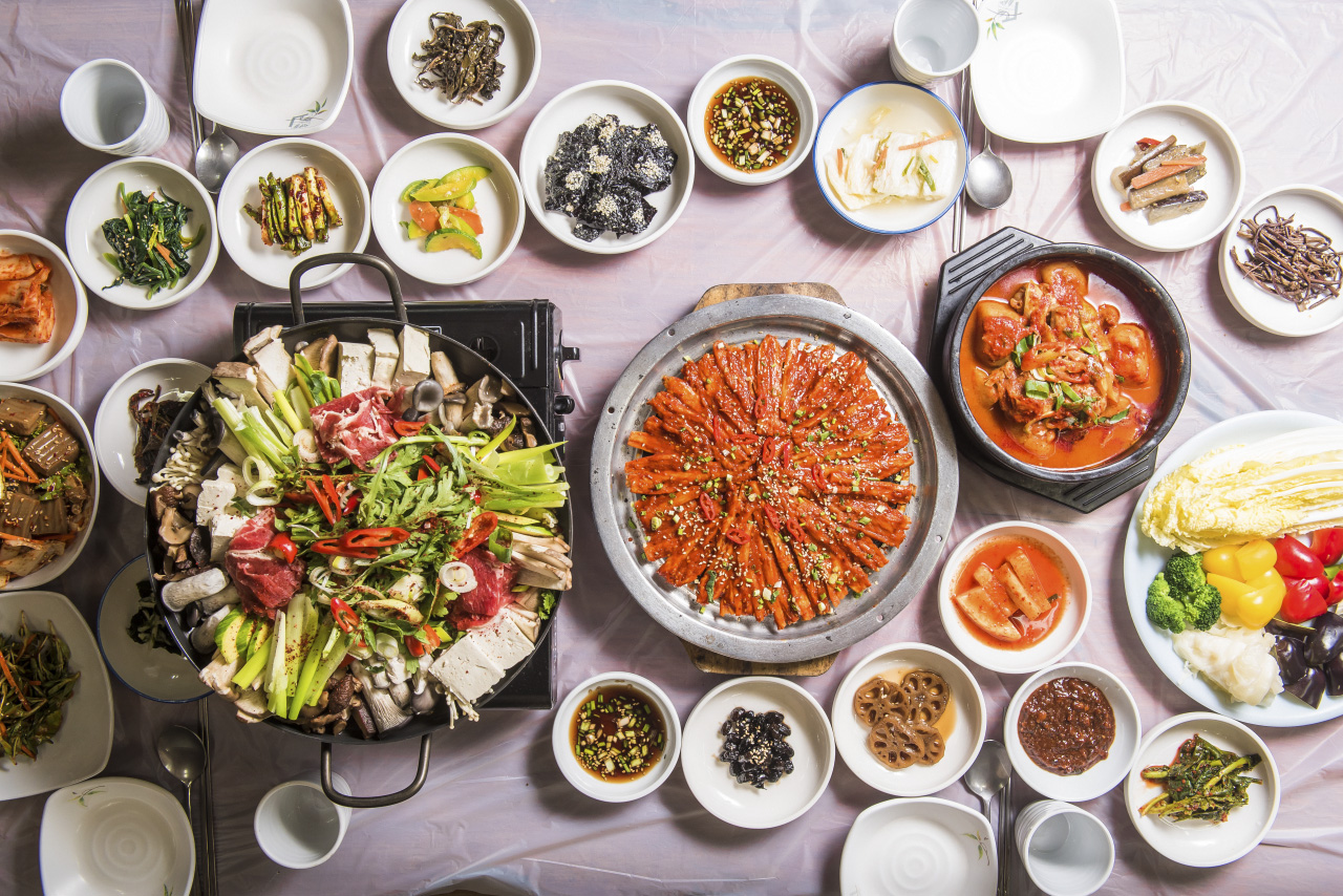
Seoul SikdangA Korean restaurant serving cheese seafood pancakes and grilled mountain deodeok set meals
4
Seoul SikdangA Korean restaurant serving cheese seafood pancakes and grilled mountain deodeok set meals -
 5
5
-
 6
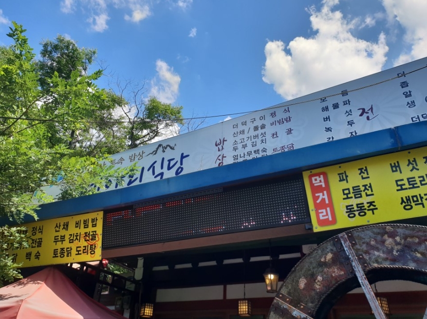
Meari SikdangA Korean restaurant serving dishes such as grilled deodeok and pajeon, ideal for a meal after a mountain hike.
6
Meari SikdangA Korean restaurant serving dishes such as grilled deodeok and pajeon, ideal for a meal after a mountain hike.
More Travel Guides in This Area
 Travel Guide
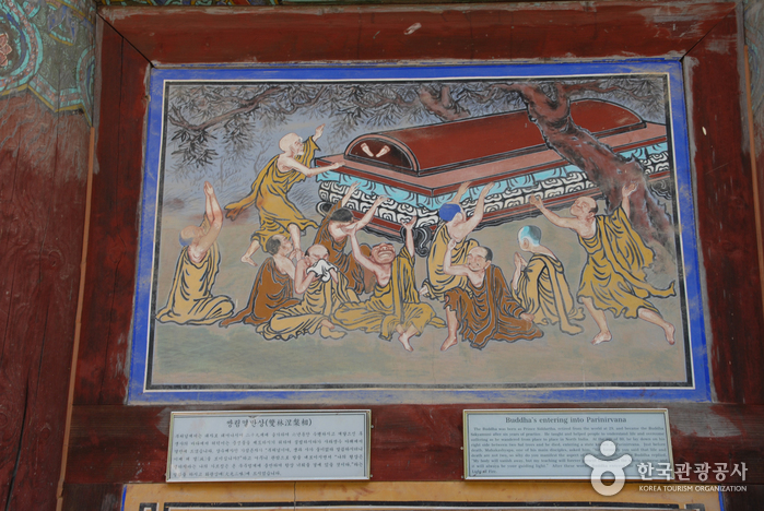
Donghaksa Temple, Visiting for the First Time Between Munpilbong Peak and Donghaksa Valley
 Travel Guide
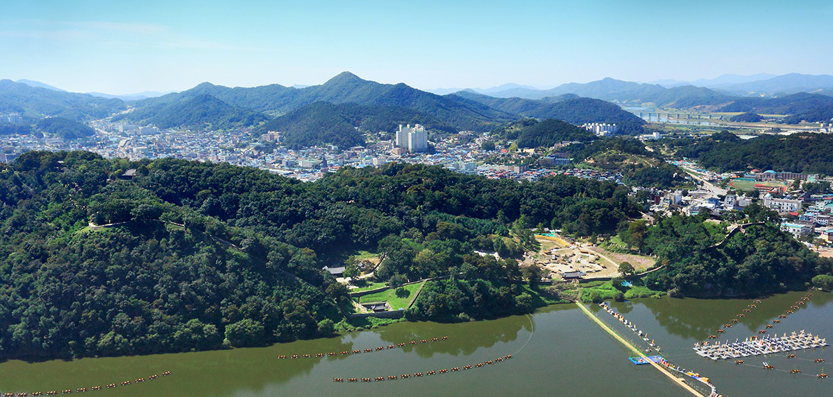
Gongsanseong, Baekje’s royal fortress overlooking the Geumgang River: a 2.6 km walk
 Travel Guide
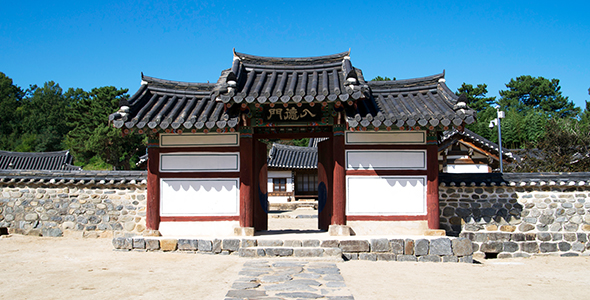
How to Read Eungdondang and the Floral Wall at Donamseowon Confucian Academy
 Travel Guide
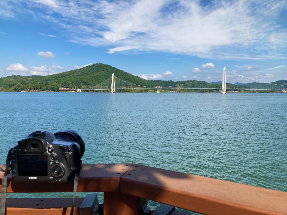
Nonsan Tapjeong Lake Suspension Bridge: Sunsets and Night Views over a 600 m Lake
Korea News
 News
News
TWS heightens comeback excitement with kitschy charm… Anticipation for “plot twist” rises
 News
News
BTS, Six Months After Its Release… ‘Arirang’ Climbs the U.S. Billboard 200
 News
News
'The Nation's Girl Group' RESCENE, Five Girls Transformed into Guardians… Additional Concept Photos for Their 4th Mini Album Revealed
 News
News