Exploring the Eight Scenic Views of Hancheon Along the Moonlight and Chogangcheon Stream
The Eight Scenic Views of Hancheon are eight picturesque sites spread around Wollyubong Peak in Wonchon-ri, Hwanggan-myeon, Yeongdong-gun, Chungcheongbuk-do. They are open year-round and free of charge, but the difficulty differs between the summit hike and the barrier-free circular trail, so plan according to your purpose.

I’ve been here?
Your check-in helps the next traveler.
No one has checked in yet Be the first
One tap — no writing needed
The Scope of Hancheon Palgyeong Encountered in Wonchon-ri, Hwanggan-myeon
Hancheon Palgyeong refers to the landscapes around Wonchon-ri, Hwanggan-myeon, Yeongdong-gun, Chungcheongbuk-do, below Wollyubong. It is not the name of a single building but a collective name for eight scenic sites: Wollyubong, Hwahonak, Yongyeondong, Sanyangbyeok, Cheonghakgul, Beopjonam, Sagunbong, and Naengcheonjeong. Because this is an outdoor attraction focused on appreciating natural scenery, approaching it as though you should find an exhibition hall entrance or a single ticket booth can easily lead to choosing the wrong route on site.
The address is provided as “Wonchon-ri, Hwanggan-myeon, Yeongdong-gun, Chungcheongbuk-do.” Points related to Wollyubong are shown within a range of 0.5 to 0.8 km in the surrounding-information listings for Hancheon Palgyeong, while 57 Wollyubong-gil and 48 Wonchondong 1-gil are listed as nearby addresses. The official on-site route connecting all eight scenic sites of Hancheon Palgyeong, as well as the distances between each point, could not be confirmed in publicly available materials.
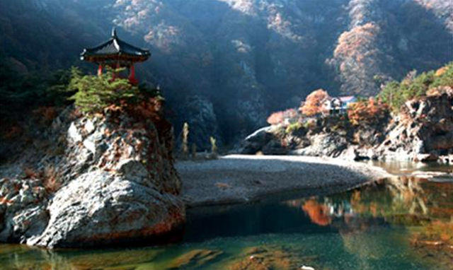
The First Scene Created by 400-Meter Wollyubong and Chogangcheon Stream
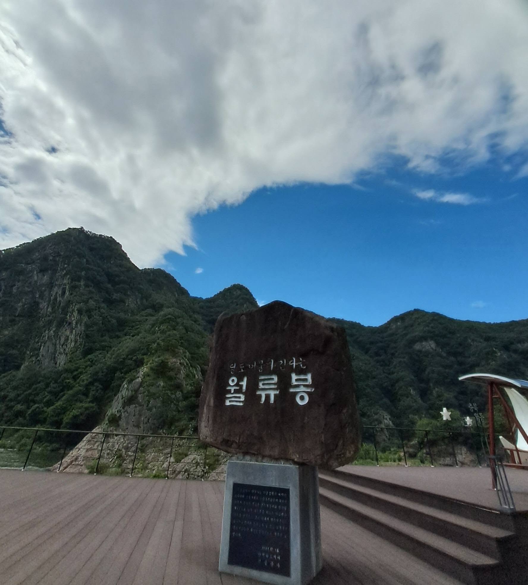
The first scenic site of Hancheon Palgyeong is Wollyubong. Wollyubong is introduced as approximately 400 meters high, while other sources record its height as 400.7 meters. The ridge extending from east to west consists of six peaks, and Chogangcheon Stream, a tributary in the upper reaches of the Geumgang River, flows below the mountain.
“Wollyubong” means “the peak where the moon stays.” The sight of the moon hanging over the upright cliffs, the clear water of Chogangcheon Stream, and the clean white sandy beach along the river are connected to this name and landscape. Wollyujeong Pavilion stands atop the cliffs, and the view of the clear water curving around the seemingly carved peak below is the area’s representative panorama.
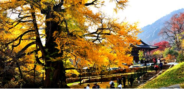
A Name Continuing from Simmyosa Palgyeong to Hancheon Palgyeong
The mid-Joseon human geography book Sinjeung Dongguk Yeoji Seungnam contains a record called “Simmyosa Palgyeong,” and some sources introduce it as being connected to today’s Hancheon Palgyeong. The name used today is said to have originated from Hancheonjeongsa, where scholar Song Si-yeol, also known as Uam, stayed. Song Si-yeol was born in 1607 and died in 1689.
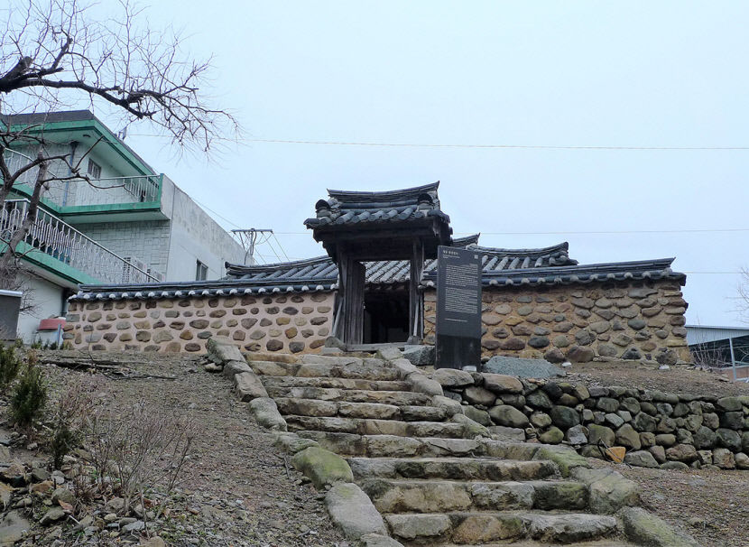
Song Si-yeol is introduced as the person who built Hancheonjeongsa and taught there. Hancheonjeongsa, where Uam Song Si-yeol lived in seclusion, is Chungcheongbuk-do Cultural Heritage Materials No. 28. It is said that a plaque reading “Hancheonjeongsa” hangs in the main hall and that the names of Hancheon Palgyeong’s individual sites are displayed as pillar couplets. For this reason, Hancheon Palgyeong is not simply a place name for a viewpoint but a site where an educational space and the names of the local landscapes are combined.
How to Read the Eight Scenic Sites from Sanyangbyeok to Naengcheonjeong
The names of the eight scenic sites are Wollyubong, Hwahonak, Yongyeondong, Sanyangbyeok, Cheonghakgul, Beopjonam, Sagunbong, and Naengcheonjeong. A poem describing the eight scenic sites has also been passed down. However, because official on-site signs connecting each scenic site and the total connecting distance could not be confirmed, visitors should plan around verifiable viewpoints near Wollyubong and Chogangcheon Stream rather than expecting to find all eight locations in one visit.
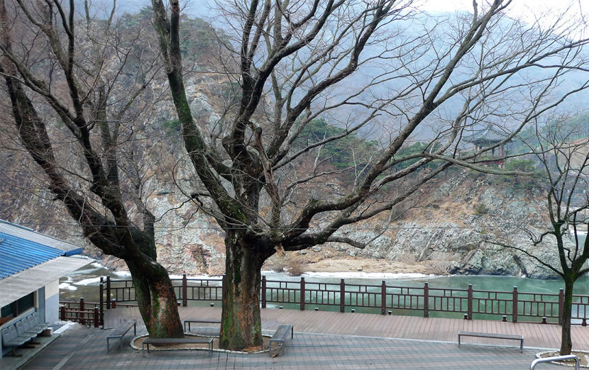
Sanyangbyeok refers to the first and second peaks of Wollyubong, which are cut into cliffs like a folding screen. Chogangcheon Stream is introduced as a waterway originating in Mulhan Valley in Minjujisan Mountain, and around Wollyubong it creates a landscape where cliffs and flowing water meet. Do not assume that every area below the cliffs can be accessed simply because it appears in photographs.
Open Year-Round and Free, but Prepare Separately for Hiking Sections
Hancheon Palgyeong is listed as open at all times, with free admission. Whether it is open every day of the year should be confirmed separately. However, no confirmed information was found regarding seasonal or weather-related access restrictions, on-site photography restrictions, or cash-only policies. Therefore, the fact that admission is free does not necessarily mean that usage conditions are identical in every area.
According to visitor reviews, touring the Wollyubong summit and surrounding scenery takes about two hours, while the full Wollyubong Loop Trail is expected to take about three hours. Hancheon Palgyeong is not only an outdoor viewpoint but also a hiking area that may include slopes, rocks, and stairs. If you plan to visit the summit, it is advisable to wear nonslip shoes.
Distinguishing the Barrier-Free Sanse Sorisorigil from the Summit Trail
Sanse Sorisorigil on the Wollyubong Loop Trail is introduced as a barrier-free path accessible by strollers and wheelchairs. However, not all hiking sections of Hancheon Palgyeong or the entire route to the Wollyubong summit are barrier-free. Sections with slopes, rocks, or stairs may be difficult to navigate with a wheelchair or stroller, so visitors should choose separately between Sanse Sorisorigil and the summit route according to their companions’ mobility needs.
Whether English information boards or audio guides are available could not be confirmed. Foreign visitors should save the names of Hancheon Palgyeong’s eight scenic sites and the address “Wonchon-ri, Hwanggan-myeon, Yeongdong-gun, Chungcheongbuk-do” on their phones, and should consider that official signs connecting all the scenic sites may not be available on site. It is also important to know in advance that, as a place for appreciating natural terrain, the boundaries of the accessible area may not be as clearly divided as they are indoors.
Check Yeongdong Station and Bus Information Last in the Official Transportation Guide
Yeongdong-gun’s official tourism transportation guide provides information on rural buses, remote-village buses, intercity buses, trains, and services to major tourist attractions. However, the route number, stop name, service interval, and walking time from the station exit or bus stop for a direct route to Hancheon Palgyeong could not be confirmed. First-time foreign visitors should check the rural-bus and major-tourist-attraction information for their travel date in Yeongdong-gun’s transportation guide, then plan their journey by giving the destination as “Wonchon-ri, Hwanggan-myeon.”
Visitors arriving by car can use parking lots near Wollyubong. Parking availability is indicated, but parking fees could not be confirmed in publicly available materials. Nearby locations include Nogun-ri Peace Park at 0.7 km and the Nogun-ri Twin Tunnels at 1.6 km. Baekhwasan Mountain, Banyasa Temple, and Seokcheon Valley are also listed as nearby attractions, so you can plan Hancheon Palgyeong as a roughly two-hour visit or the loop trail as a roughly three-hour itinerary and add nearby destinations.
What to Confirm at 043-740-3205 and Contacts Before Your Visit
For operations and tourism inquiries, the Yeongdong-gun Office’s Traditional Music, Culture and Arts Division is listed at 043-740-3205~7. The Chungbuk Naduri main telephone number is 043-740-3223~5, and the contact number for the department responsible for Yeongdong-gun’s tourism transportation guide is 043-740-3184. The official website is the Hancheon Palgyeong information page on Yeongdong-gun Culture and Tourism: https://yd21.go.kr/tour/html/sub02/020301.html.
Separate from the basic information that the site is open at all times and free of charge, the key points visitors should confirm are direct buses and stops, whether hiking is possible according to the weather, parking fees, foreign-language information, and photography restrictions. In particular, the recommended time differs between approximately two hours for visiting the Wollyubong summit and approximately three hours for using only or touring the Sanse Sorisorigil route. When making an inquiry by phone, it is advisable to explain your mode of travel and whether companions will use a wheelchair or stroller.
Before You Go
- Address
- Wonchon-ri, Hwanggan-myeon, Yeongdong-gun, Chungcheongbuk-do
- Hours
- Open at all times
- Closed
- Whether it is open every day of the year should be confirmed separately
- Admission
- Free
- Phone
- 043-740-3205~7; Chungbuk Naduri main telephone 043-740-3223~5
- Official site
- https://yd21.go.kr/tour/html/sub02/020301.html
- Transport
- Yeongdong-gun’s official transportation guide provides information on rural buses, remote-village buses, intercity buses, trains, and services to major tourist attractions, but detailed information on direct routes and stops for Hancheon Palgyeong could not be confirmed.
- Parking
- Available. Parking lots near Wollyubong can be used, but parking fees could not be confirmed in publicly available materials.
- Time needed
- Approximately two hours based on reviews when visiting the Wollyubong summit and surrounding scenery. The full Wollyubong Loop Trail is expected to take approximately three hours.
- Accessibility
- Sanse Sorisorigil on the Wollyubong Loop Trail is a barrier-free path accessible by strollers and wheelchairs. However, not all hiking and summit sections of Hancheon Palgyeong are barrier-free, and hiking sections with slopes, rocks, or stairs may be difficult to navigate with a wheelchair or stroller.
The information above is accurate as of the time of writing. Check the official information again before visiting.

Places
Nearby Attractions 3
-
 1
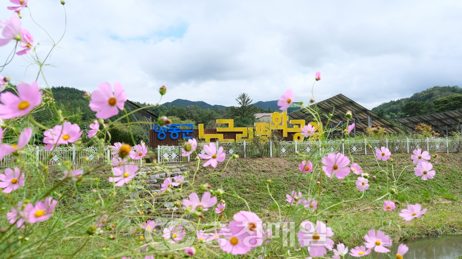
Nogeun-ri Peace ParkA park that exhibits and commemorates the Nogeun-ri Incident and provides peace education.
1
Nogeun-ri Peace ParkA park that exhibits and commemorates the Nogeun-ri Incident and provides peace education. -
 2
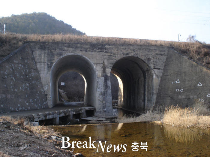
Nogeun-ri Twin TunnelsA railway bridge where visitors can explore a historic site associated with civilian victims of the Korean War.
2
Nogeun-ri Twin TunnelsA railway bridge where visitors can explore a historic site associated with civilian victims of the Korean War. -
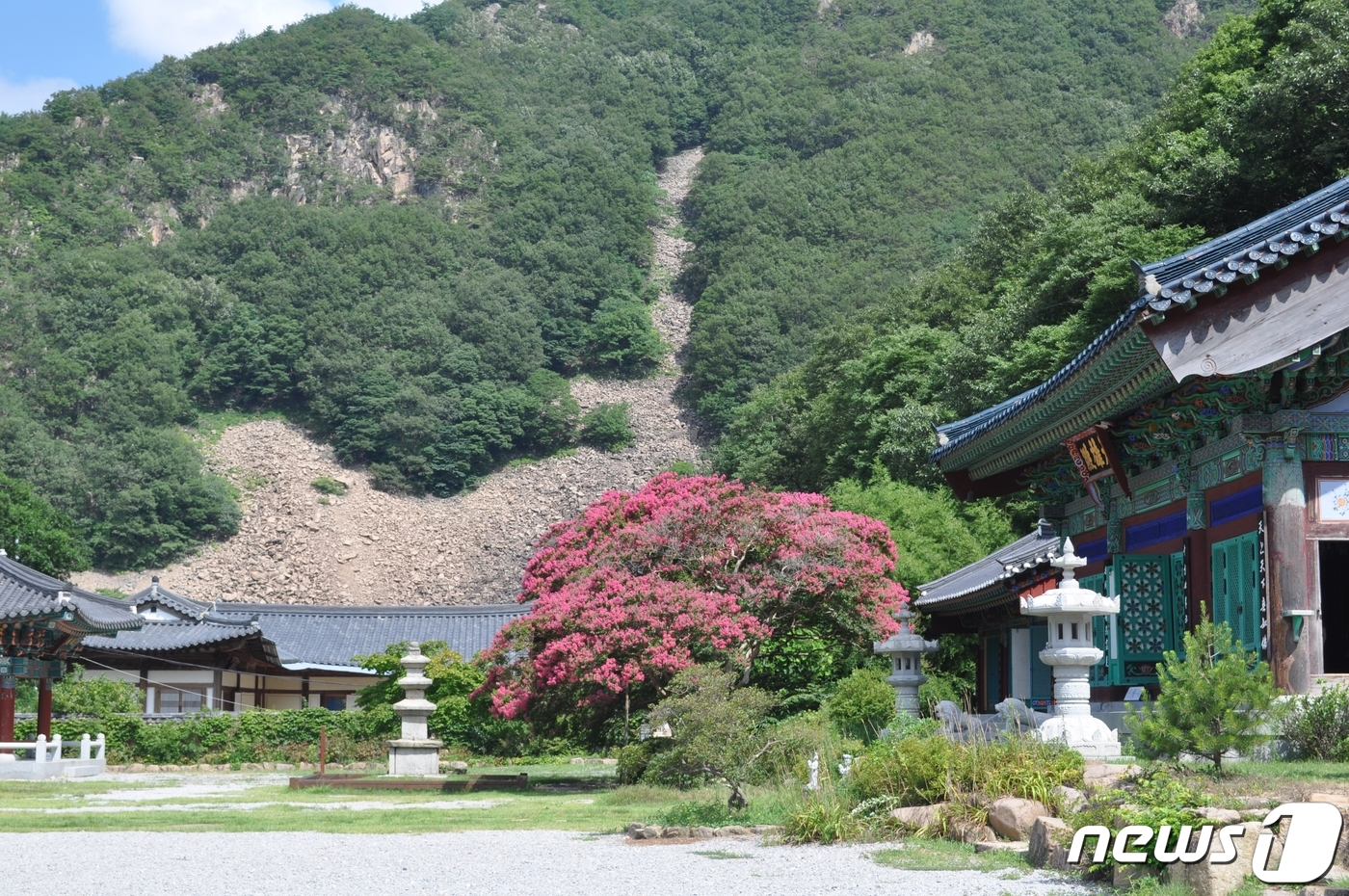 3
Banyasa TempleA place where you can explore traditional Buddhist temple architecture alongside the mountain scenery of Baekhwasan.
3
Banyasa TempleA place where you can explore traditional Buddhist temple architecture alongside the mountain scenery of Baekhwasan.
Food & Dining 3
-
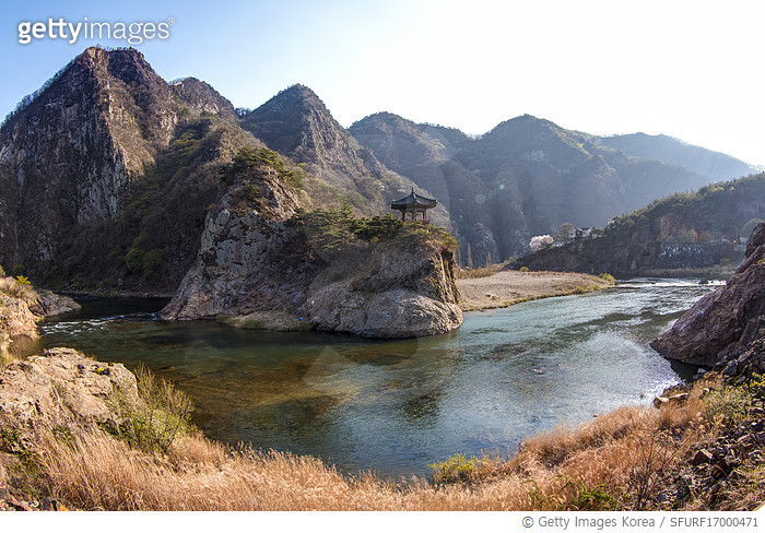 4
Hancheon GardenA restaurant serving freshwater dishes such as catfish soup and doribaengbaeng (fried freshwater fish).
4
Hancheon GardenA restaurant serving freshwater dishes such as catfish soup and doribaengbaeng (fried freshwater fish). -
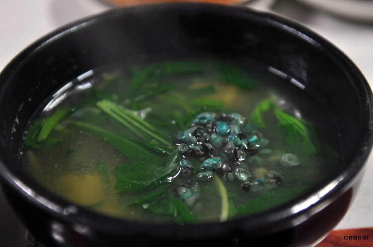 5
5
-
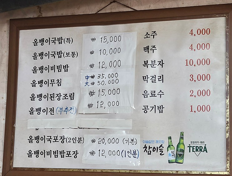 6
Wonjo Donghae SikdangA restaurant serving olbaengi gukbap, seasoned olbaengi salad, pancakes, and more.
6
Wonjo Donghae SikdangA restaurant serving olbaengi gukbap, seasoned olbaengi salad, pancakes, and more.
Events in This Area
Festivals in This Area
More Travel Guides in This Area
 Travel Guide
How to Experience the Wood-Fired Kilns and Mountain Villages of Danyang at Banggok Pottery Village
 Travel Guide
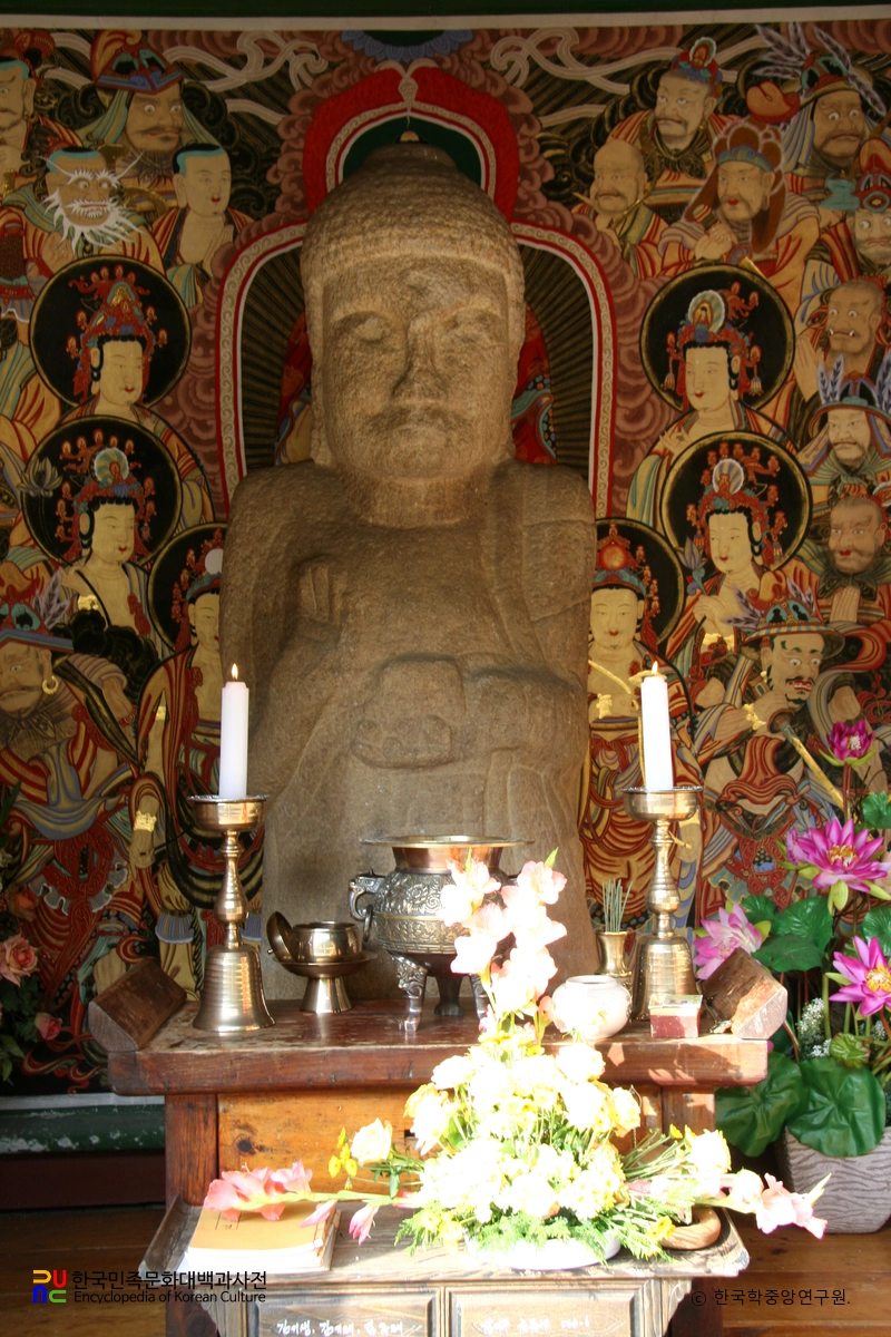
Standing Medicine Buddha Statue at Deoksusa, Relocated to Woraksan Mountain Due to Chungju Dam
 Travel Guide
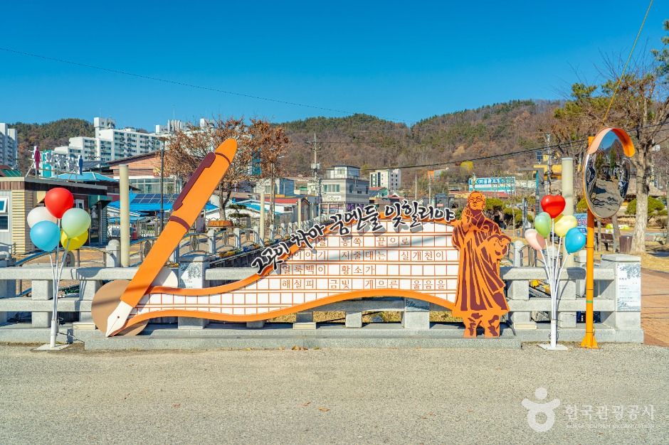
Walking through Okcheon’s Old Town Mural Village in the Footsteps of Jeong Ji-yong’s “Nostalgia”
 Travel Guide
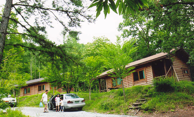
How to Choose Lodging, Camping, and Water Activities in the 136-Hectare Forest of Okhwa Natural Recreation Forest
Korea News
![Did Jang Won-young ‘break up’? From the airport to social media, she was decked out in Brand D [MD Issue]](https://kotourlive-images.s3.ap-northeast-1.amazonaws.com/news/1790644492843_025fcab4_news_06d49363-285b-4cd5-93e3-ace2c4344710.jpg) News
News
Did Jang Won-young ‘break up’? From the airport to social media, she was decked out in Brand D [MD Issue]
 News
News
Oh, What a Surprise… BLACKPINK’s Rosé—Did She Get a Bob Cut?
![[On-Site Photos] “Equipped with a Third Eye”… RM’s Intense Eye Contact](https://kotourlive-images.s3.ap-northeast-1.amazonaws.com/news/1790644823332_c0c6ec29_news_001c0a59-4eb7-40e6-af6a-4f26183f5e8c.jpg) News
News
[On-Site Photos] “Equipped with a Third Eye”… RM’s Intense Eye Contact
 News
News