How to See Songaksan’s 15 Inaccessible Military Tunnels
Songaksan’s military tunnels are coastal military ruins built by the Japanese army toward the end of World War II using the forced mobilization of Jeju residents. Due to the risk of collapse and falling rocks, visitors cannot enter the tunnels. To visit, view the coastal tunnels from the parking lot, then connect to the Songaksan Circular Trail and continue on foot.

I’ve been here?
Your check-in helps the next traveler.
17 people viewed this week Be the first
One tap — no writing needed
Why were 15 caves created in the coastal cliffs of Songaksan?
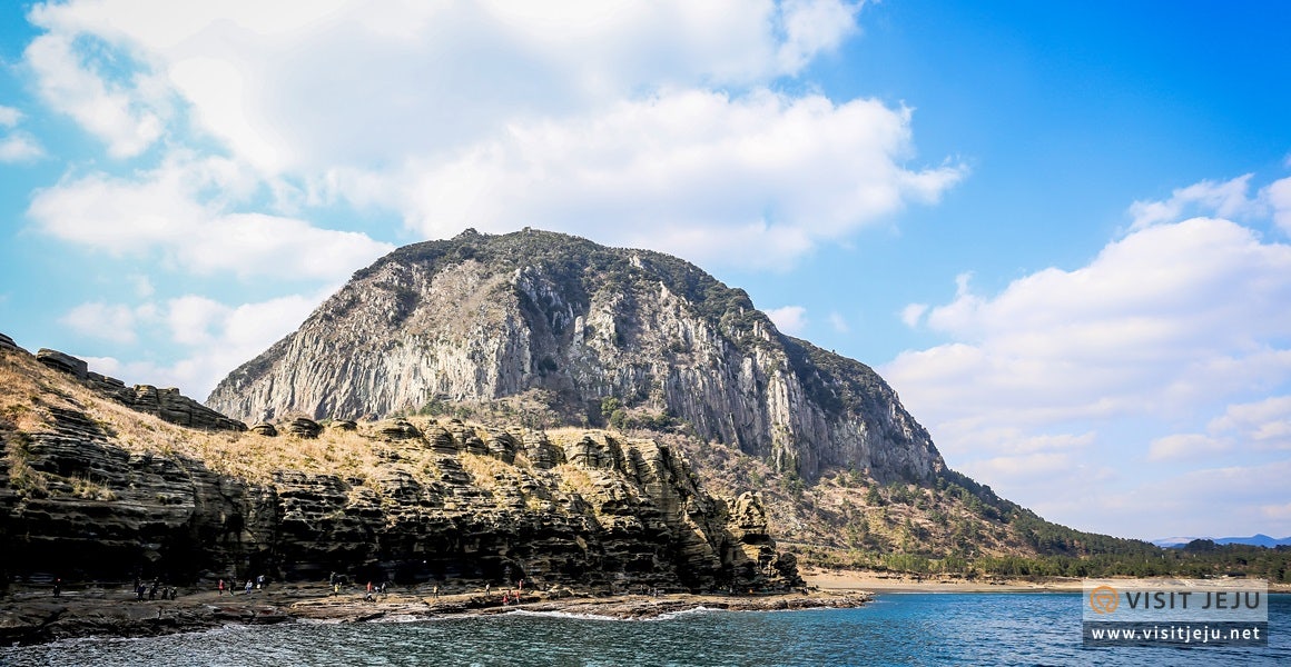
The Songaksan military caves are Japanese military facilities built in Daejeong-eup during World War II. The Japanese military forcibly mobilized local residents of Jeju to construct large-scale tunnels and underground fortifications beneath Songaksan. A 2021 survey report describes this site as facilities for Japanese naval suicide attack units built from February 1945, near the end of World War II, as well as facilities related to the Japanese Army’s Jeju Operation No. 7.
Fifteen artificial caves have been carved into the coastal cliffs. Each is described as approximately 3–4 m wide and more than 20 m long. These caves are explained as facilities for concealing torpedo boats and preparing for Allied attacks. The tunnels toward Songaksan’s Al Oreum were made wide enough for trucks carrying military supplies to pass through, and tunnels dug from different areas were connected to one another.
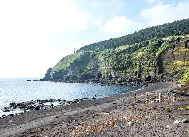
In 2026, view them only from the coast, not from inside the caves
According to information confirmed in 2026, entering the military caves is prohibited because of the risk of collapse and falling rocks. At present, visitors can only view the caves from the coast below Songaksan, so do not plan to enter them as shown in older photographs. There is a record of a collapse accident caused by sand around the caves, and guidance states that the lifting of access restrictions has not yet been decided because falling rocks are severe.
Therefore, the main point here is not exploring the interiors, but observing the location and scale of the 15 artificial caves from the coast. The military cave attraction is marked as “Very Difficult,” and it has not been confirmed whether interior photography is possible or whether there is a dedicated viewing path. Visitors should view the site without crossing safety lines or approaching the cave entrances.
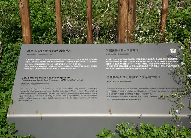
Route from the Sangmo-ri parking lot in Daejeong-eup to the military caves
The road-name address listed in tourist information is 548-88, Choenamdanhaean-ro, Daejeong-eup, Seogwipo-si, Jeju Special Self-Governing Province, and the administrative location is Sangmo-ri, Daejeong-eup. The usual route from the Songaksan Observatory parking lot proceeds in this order: parking lot, Songaksan monument, military caves, junction, stairs and flagstone path, Core-Net Path, and Bunamkoji.
You must travel approximately 211 m from the parking lot to the entrance to the circular trail, and the total route for general visitors is 2.8 km. The distance from Core-Net Path to Bunamkoji is 1 km. If you continue to the observatories, Observatory 1 to Observatory 2 is 530 m, Observatory 2 to Observatory 3 is 160 m, and the sections from Observatory 3 to the endpoint are marked as 580 m and 470 m.
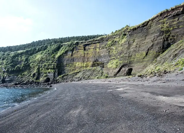
Free and open year-round, but understand the operating information this way
According to the Songaksan Observatory information, there is no time restriction on visiting, and the site is open year-round. Admission is also free. However, this guidance applies to the Songaksan Observatory and walking routes; it does not mean that entry into the military caves is permitted. The interiors are currently restricted because of the risk of collapse and falling rocks.
The time required to visit the military caves alone and whether they have a dedicated ticket office have not been confirmed. The entire approximately 2.8 km Songaksan circular trail is described as taking about two hours, while the recommended route for visitors with accessibility needs takes one hour. There is no cultural tourism interpreter, stroller rental is unavailable, and the availability of English guidance or an audio guide has not been confirmed.
Parking for 50 passenger cars, with no accessible parking spaces
The Songaksan Observatory parking lot is described as accommodating 16 large vehicles and 50 passenger cars. There is no separate accessible parking area, and parking fees have not been confirmed. The parking lot’s operating hours are also not separately provided, so do not interpret “no visiting-time restriction” as meaning that parking operates without time limits.
Visitors using mobility aids are advised to park temporarily near the fire-truck access road before beginning their visit. The space to the right of the fire-truck access road is 94 cm wide and is described as accessible to mobility aids, but on-site instructions should take priority to avoid conflicting with general parking regulations. After parking, approximately 211 m remain to the circular-trail entrance.
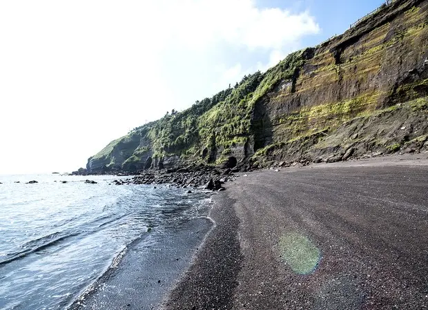
Wheelchair visits require separate planning because of the 8–9° slopes and flagstone paths
The access road is marked as having a 7–9° gradient, and the entrance includes an approximately 100 m section with an 8–9° gradient. The middle of the route also includes continuous uphill and downhill sections with gradients of 7–8°. Stairs and uneven flagstone paths are difficult for mobility-aid users to access, and manual wheelchair users require assistance from a companion.
The recommended route for visitors with accessibility needs goes from the parking lot along the road to the right of the Somangcha access road to the military caves, then follows the cement road on the right at the junction to Baram Buneun Eondeok Haenyeo House and Observatory 1 before returning. The travel time for electric wheelchair and mobility-aid users is listed as one hour, but the public restroom midway along the trail has a narrow access route and a step at the entrance.
How to combine Sanbangsan, Gapado, and Marado along the 2.8 km circular trail
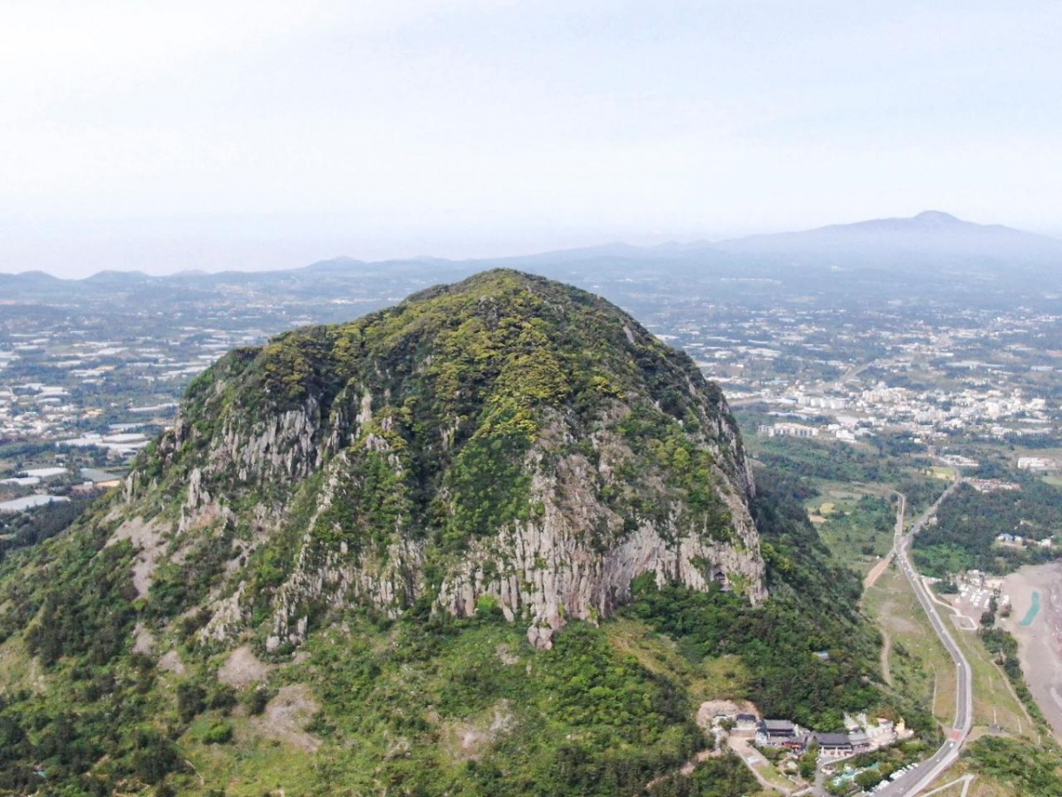
The Songaksan circular trail continues along Jeju Olle Route 10. Songaksan is a low mountain whose highest peak is approximately 100 m high, and it is also called 99 Peaks because it consists of 99 small peaks. If you continue along the circular trail instead of turning back after seeing only the military caves, you can see Sanbangsan, Hallasan, and Hyeongjeseom.
Gapado and Marado are said to be visible from around the middle of the circular trail. However, access to the summit area and summit trail of Songaksan is restricted until July 31, 2027, under a natural rest period for vegetation restoration and conservation management. Rather than making the summit your destination, current conditions favor a plan connecting the military caves and coastal scenery along the remaining routes, excluding the summit area and summit trail.
What to confirm by phone before visiting and easy-to-miss restrictions
The tourist information representative phone number is 064-740-6000, and the official tourism information page is https://m.visitjeju.net/kr/detail/view?contentsid=CONT_000000000500379&menuId=DOM_000001718002000000 . The address can be recorded as 548-88, Choenamdanhaean-ro, Daejeong-eup, Seogwipo-si, Jeju Special Self-Governing Province. Bus route numbers and stop names for public transportation have not been confirmed, so this information alone is insufficient for planning direct travel from a station or airport.
Whether the site is cash-only, whether interior photography is possible, the location of dedicated restrooms, and the expected date for lifting restrictions have also not been confirmed. The first thing to check on site is the access-control status. The beginning of the circular trail is steep, and caution is needed around cracks in the ground. Some sections of the trail have inadequate surface finishing, and the cave interiors should be understood as a military heritage site to be viewed from the coast, not as an area open for sightseeing.
Before You Go
- Address
- 548-88, Choenamdanhaean-ro, Daejeong-eup, Seogwipo-si, Jeju Special Self-Governing Province.
- Hours
- No visiting-time restriction. However, entry into the military caves is prohibited because of the risk of collapse and falling rocks.
- Closed
- Open year-round according to the Songaksan Observatory information.
- Admission
- Free.
- Phone
- 064-740-6000.
- Official site
- https://m.visitjeju.net/kr/detail/view?contentsid=CONT_000000000500379&menuId=DOM_000001718002000000
- Transport
- From the Songaksan Observatory parking lot, proceed in the order of parking lot → Songaksan monument → military caves. The distance from the parking lot to the circular-trail entrance is approximately 211 m, and the general visitor route is 2.8 km in total.
- Parking
- The lot is described as accommodating 16 large vehicles and 50 passenger cars, with no separate accessible parking area. Parking fees have not been confirmed.
- Time needed
- The time required to visit the military caves alone has not been confirmed. The entire approximately 2.8 km Songaksan circular trail is described as taking about two hours, while the recommended route for visitors with accessibility needs takes one hour.
- Accessibility
- Approximately 211 m from the parking lot to the circular-trail entrance. The access road has a 7–9° gradient, the approximately 100 m entrance section has an 8–9° gradient, and the middle section has a 7–8° gradient. Stairs and uneven flagstone paths are difficult for mobility-aid users to access, and manual wheelchair users require assistance from a companion.
The information above is based on the time of writing. Check the official guidance again before visiting.

Places
Nearby Attractions 3
-
 1
1
-
 2
2
-
 3
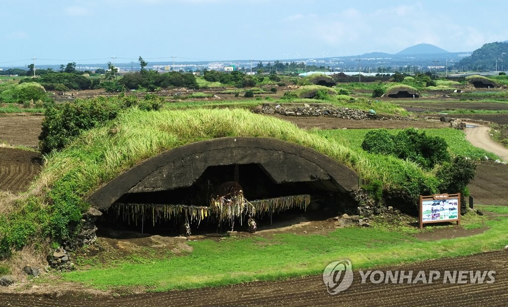
Altteureu AirfieldExplore the remains of an airfield and aircraft hangars built during the Japanese colonial period.
3
Altteureu AirfieldExplore the remains of an airfield and aircraft hangars built during the Japanese colonial period.
Food & Dining 3
-
 4
4
-
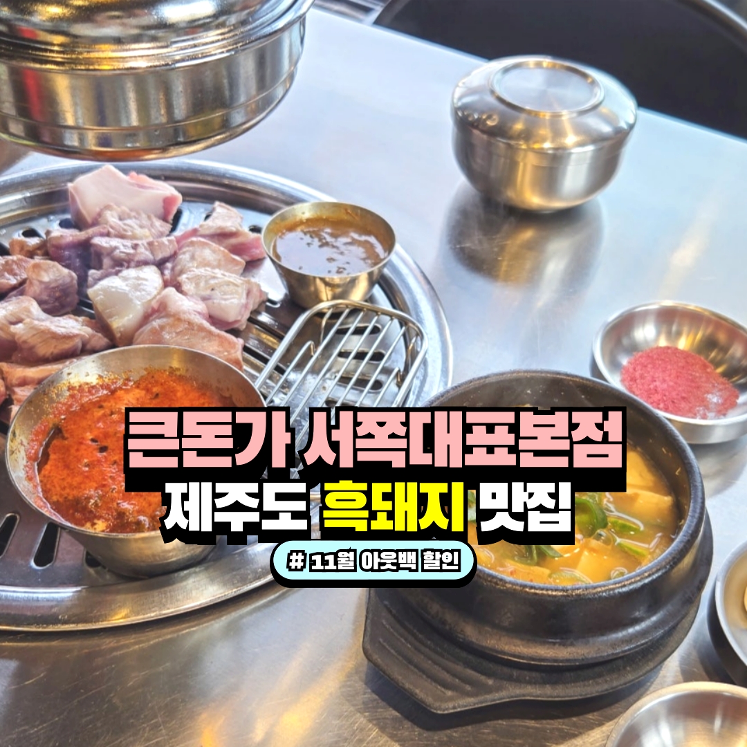 5
Keundonga Seojok Daepyo Main BranchA restaurant where you grill and enjoy Jeju black pork cuts.
5
Keundonga Seojok Daepyo Main BranchA restaurant where you grill and enjoy Jeju black pork cuts. -
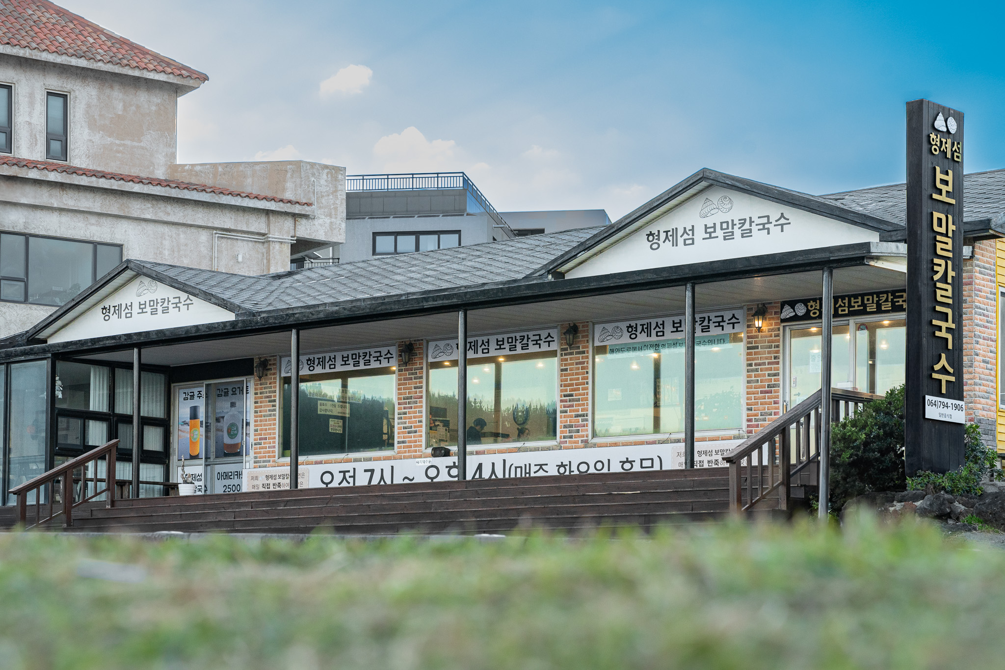 6
Hyeongje-seom Bomal Kalguksu Jeju Sanbangsan Main BranchA local restaurant serving bomal kalguksu (noodle soup) and bomal porridge.
6
Hyeongje-seom Bomal Kalguksu Jeju Sanbangsan Main BranchA local restaurant serving bomal kalguksu (noodle soup) and bomal porridge.
Events in This Area

Festivals in This Area


More Travel Guides in This Area
 Travel Guide
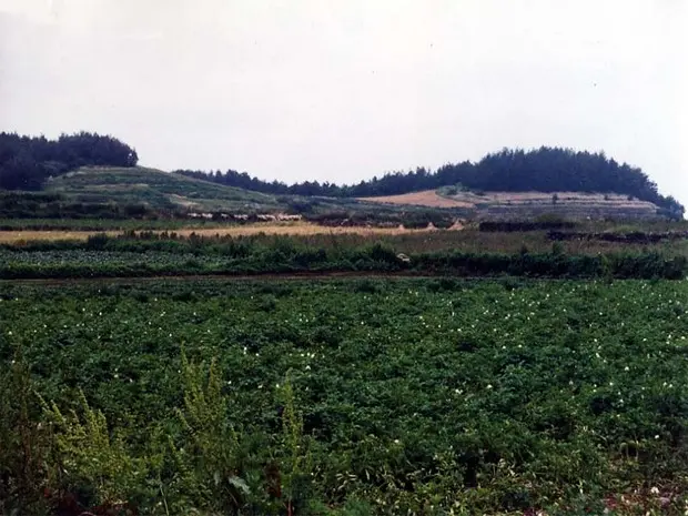
Memories of 1950 and the Altteureu Fields Remaining Along 1.8 km of Seotal Oreum
 Travel Guide
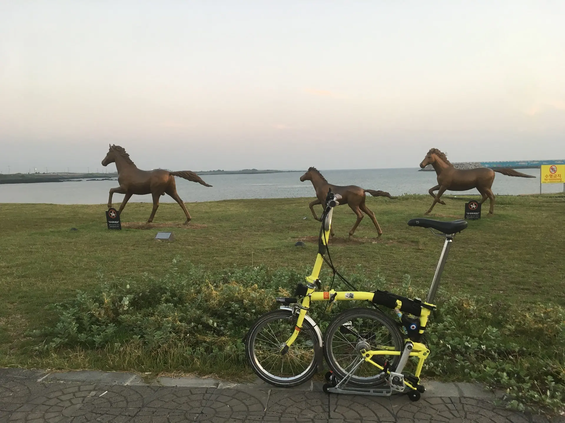
Swimming Is Prohibited, but Hamo Beach Connects Jeju Olle Route 10 with Sanbangsan Mountain
 Travel Guide
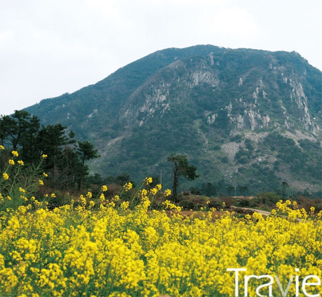
Sagye-ri Course 3 Connecting Sanbangsan Mountain and 800,000-Year-Old Strata
 Travel Guide
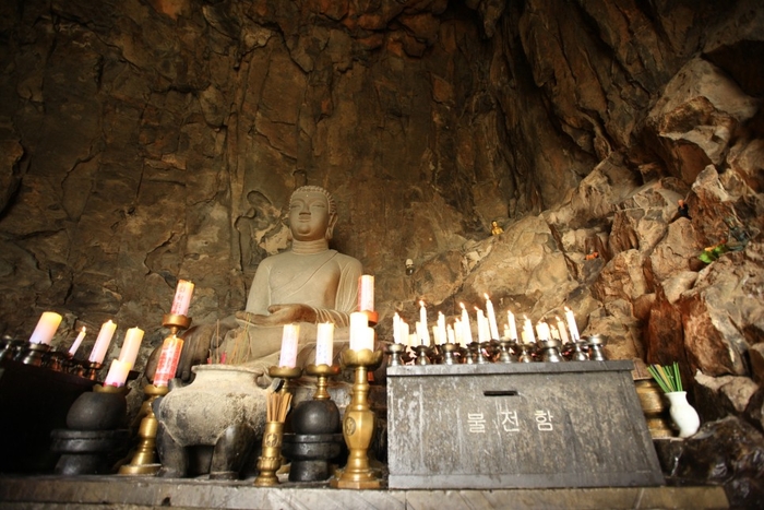
A Temple 10 m Inside Sanbangsan Mountain’s Sea Cave: How to Look Out over the Sea from Sanbanggulsa
Korea News
 News
News
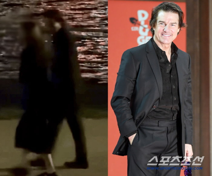
Tom Cruise Spotted Taking a Late-Night Walk at Hangang Park… Strolled for an Hour in a Black Suit
 News
News
'Jimin, We'll always be with you' Peru Embraced 'Jimtober' Birthday Celebrations... "I'm Happy"
 News
News
BTS’s Jungkook stands alongside Messi and Ronaldo… No. 5 worldwide in TikTok views
 News
News