Ganwoljae Mugwort Colony on a 900 m Ridge Between Sinbulsan and Ganwolsan
Ganwoljae Mugwort Colony is a mountain pass where the ridges of Sinbulsan and Ganwolsan meet in the Yeongnam Alps of Ulju County. The Deer Farm course is known as a gentle trail of about 6 km, but hikers should prepare for high-altitude winds and seasonal temperature differences.

I’ve been here?
Your check-in helps the next traveler.
18 people viewed this week Be the first
One tap — no writing needed
Ganwoljae, where Sinbulsan 1,159 m and Ganwolsan 1,069 m meet
Ganwoljae is a mountain pass connecting Sinbulsan and Ganwolsan along the Yeongnam Alps ridge in Sangbuk-myeon, Ulju-gun, Ulsan. Ganwolsan rises to 1,069 m above sea level, while Sinbulsan reaches 1,159 m, and the area around Ganwoljae lies at an elevation of approximately 900 m.
The name Yeongnam Alps originated from the mountainous landscape around Gajisan, where a series of mountains around 1,000 m high extend across the areas of Ulsan, Miryang, Yangsan, and Cheongdo. Ulsan Tourism presents the Sky Silver Grass Trail as a circular hiking route consisting of five courses totaling 29.7 km, and describes the silver grass fields at Ganwoljae as covering approximately 100,000 pyeong.
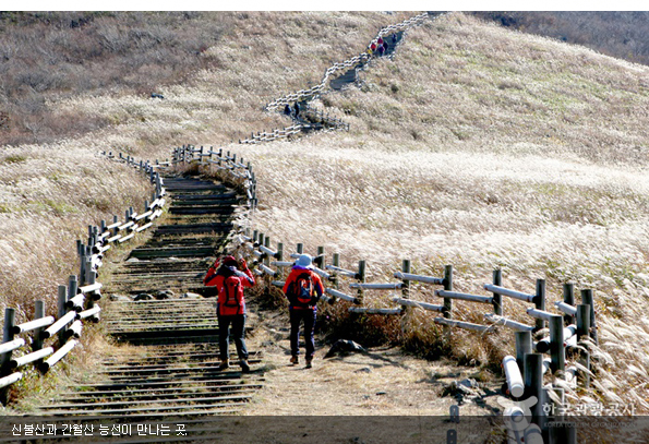
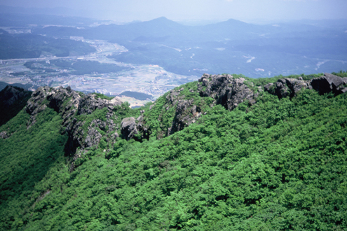
Why to allow about 3 hours round trip for the 6 km Deer Farm Course
If Ganwoljae is your only destination, the Deer Farm Course, which begins near Hanguk Deer Farm, is a relatively gentle option. The Korea Tourism Organization describes this route as an approximately 6 km flat path and lists the round-trip duration as about 3 hours.
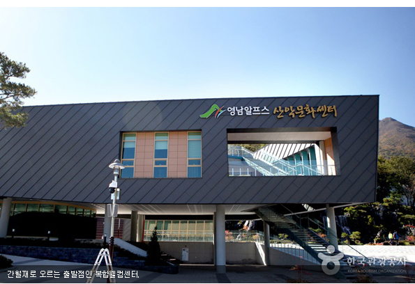
Distance signs are installed between the starting point and Ganwoljae, making it possible to estimate the remaining distance. Restrooms are available at the trail entrance and Ganwoljae. Since it is difficult to obtain water and snacks along sections outside the summit area, it is safer to prepare drinking water and light provisions before setting out.
- Destination: Ganwoljae Silver Grass Plain and Ganwoljae Rest Area
- Deer Farm Course: approximately 6 km, about 3 hours round trip
- Forest road toward Deongeok Hot Spring Complex: a route with approximately 2 hours of continuous uphill walking
- Ganwol Mountain Lodge–Ganwoljae–Ganwolsan summit round trip: 7.4 km, approximately 3 hours 20 minutes
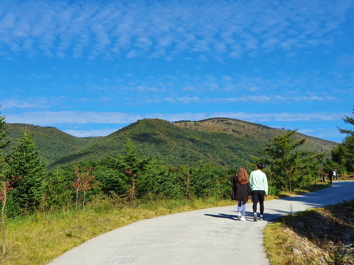
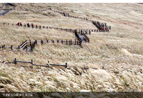
Parking plans starting at 855 Icheon-ri, Baenae 2 Public Parking Lot
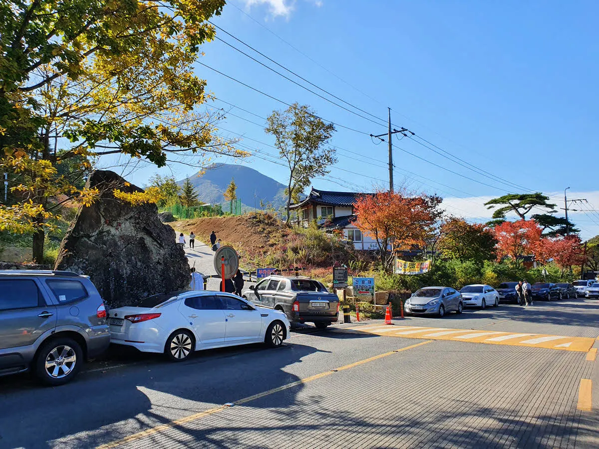
The closest parking base to the Deer Farm Course is Baenae 2 Public Parking Lot. The address is 855 Icheon-ri, Sangbuk-myeon, Ulju-gun, Ulsan Metropolitan City, and according to the Korea Tourism Organization, parking is free.
Parking demand may be concentrated in November, which is described as the peak season for silver grass, and on weekends. Free parking does not guarantee an available space, so visitors traveling by car should plan their itinerary and return time on the assumption that they will arrive early.
Public transportation services connecting to the trailhead may be limited. Route 328 from Ulsan Station toward Baenaegol is mentioned, but operating times and stop locations may change frequently, so they should be reconfirmed through Ulsan city bus information on the day of departure.
An always-open ridge and the Ganwoljae Rest Area, which closes at 4:30 p.m.
The Ganwoljae Silver Grass Plain is an always-open outdoor mountain area with no separate admission fee. However, the Ganwoljae Rest Area, which operates as a snack shop, is listed in a Korea Tourism Organization travel article as being open daily from 10:00 to 16:30. If you plan to finish your hike after the rest area closes, you should not expect to buy water or snacks there.
A 2020 Korea Tourism Organization article listed cup noodles at 3,000 won for a large size and 2,000 won for a small size, bottled water at 1,000 won, and beverages at 1,500 won, but prices and operating status may change. Before departing, check current operating information separately and bring enough water from the starting point.
Official tourism information is provided on Ulsan Tourism's Sky Silver Grass Trail page. As Ganwoljae is an outdoor ridge, it has no designated closing days, but access may change depending on weather and forest-control conditions such as strong winds, lightning, snow accumulation, or wildfire restrictions.
A ridge where silver grass and wind must be considered together from late October through November
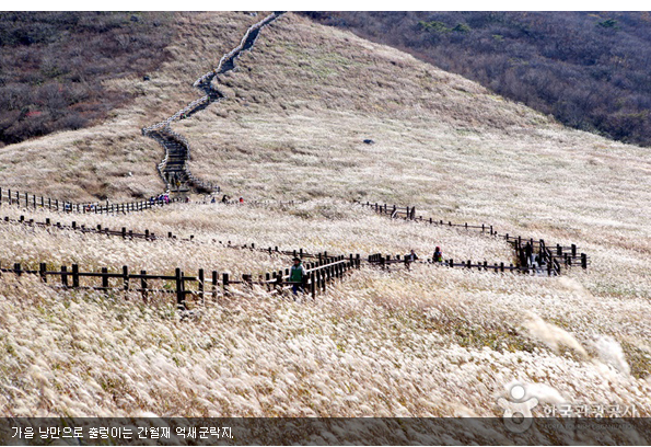
Recent travel information from the Korea Tourism Organization states that the silver grass at Ganwoljae reaches its peak in November. However, the color and flowering condition of silver grass vary each year according to temperature, precipitation, and strong winds. Rather than fixing a date, it is more practical to check local tourism channels and recent hiking reports just before departure.
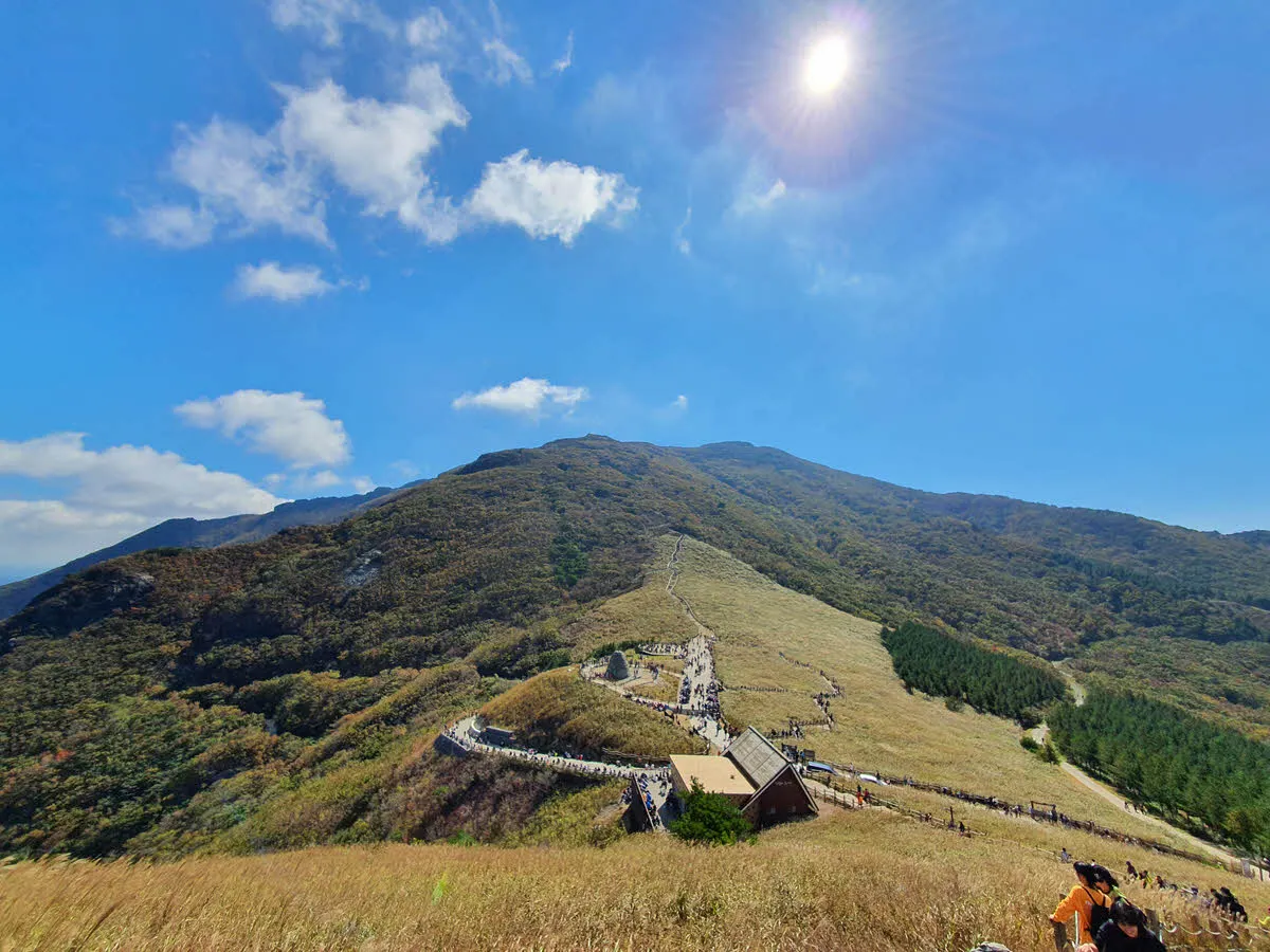
At an elevation of approximately 900 m, Ganwoljae feels colder than the lowlands and is directly exposed to winds along the ridge. Even in autumn, prepare a windproof jacket, insulating layers, hiking shoes with good grip to guard against slipping, and a headlamp. You should also set out early enough to descend before sunset.
Rather than entering the colony to see the silver grass up close, use the designated paths and decks. There are stone towers and a paragliding launch site near the silver grass colony; when flights are taking place, follow the safety lines and instructions around the launch site first.
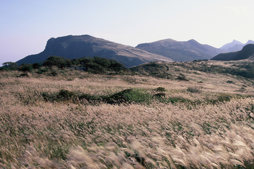
How to decide whether to walk an additional 3 km to the Sinbulsan Silver Grass Plain from Ganwoljae
After arriving at Ganwoljae, continuing along the ridge toward Sinbulsan connects to the Sinbulsan Silver Grass Plain section, known as one of Ulsan's 12 Scenic Views. The Korea Tourism Organization introduces a silver grass trail extending approximately 3 km along the Sinbulsan ridge.
However, since the round trip to Ganwoljae alone requires about 3 hours, extending the hike toward Sinbulsan should be decided only after considering the sunset time, wind, the fitness of companions, and transportation for the return journey. The Ganwol Mountain Lodge–Ganwoljae–summit course is listed as 7.4 km round trip and approximately 3 hours 20 minutes, while the Ganwol Mountain Lodge–Ganwol Dinosaur Ridge–summit course, which includes the Dinosaur Ridge, is 6.0 km but takes approximately 5 hours 10 minutes and is a more advanced option.
This should not be considered a paved route suitable for wheelchairs or strollers. Even though the Deer Farm Course is gentle, mountain paths and high-elevation sections continue throughout, so it may not be suitable for visitors who use mobility aids or have difficulty with long uphill walks.
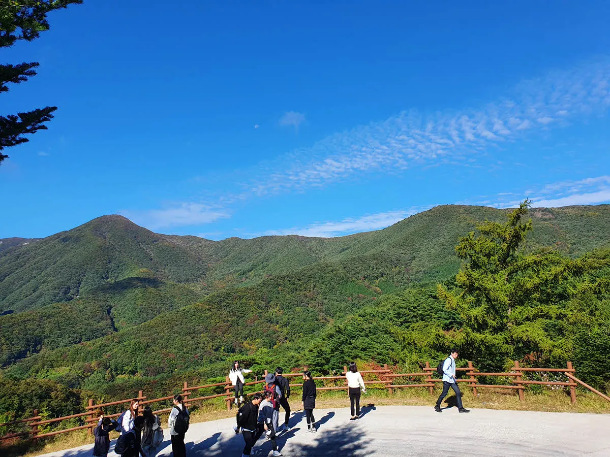
The 29.7 km Yeongnam Alps Sky Silver Grass Trail and the alpine grasslands it seeks to preserve
The silver grass at Ganwoljae is not merely a photographic backdrop but part of the ecological landscape of the Yeongnam Alps' high mountain ridges. Ulsan Tourism explains that extensive silver grass fields are distributed between Sinbulsan and Yeongchuksan, at Ganwoljae, around Jaeyaksan, and near the summit of Gohyeonsan along the Sky Silver Grass Trail.
The Korea Forest Service's 2025 list of Korea's 100 Finest Forests gives the area of the Ganwoljae silver grass colony as approximately 33 hectares. The broad area and ridge terrain allow the silver grass scenery to continue across the landscape, but for the same reason weather conditions can also change quickly. Keeping photography and breaks brief at the edge of the trail, and always taking rubbish and disposable items back with you, are basic ways to protect this alpine grassland.
Ulsan Tourism explains that the name Ganwolsan means “sacred mountain,” together with Sinbulsan. This area is not only a beautiful ridge but also a place where clashes occurred between communist guerrillas and counterinsurgency forces during the Korean War, so its scenery cannot be viewed separately from the layers of the region's modern history.
Before You Go
- Address
- Ganwol Mountain Road 614, Ganwoljae Rest Area, Sangbuk-myeon, Ulju-gun, Ulsan Metropolitan City
- Hours
- Ganwoljae Silver Grass Plain: open year-round / Ganwoljae Rest Area: daily 10:00–16:30 (subject to change)
- Closed
- No regular closing days (access may be restricted due to weather, wildfire controls, and other conditions)
- Admission
- Free
- Official site
- https://www.ulsan.go.kr/tour/kor/contents.ulsan?mId=001001009001008000
- Transport
- Information is provided for Bus 328 from Ulsan Station toward Baenaegol, but the number of services and schedules should be reconfirmed before departure. Baenae 2 Public Parking Lot, the parking base for the Deer Farm Course, is at 855 Icheon-ri, Sangbuk-myeon, Ulju-gun.
- Parking
- Baenae 2 Public Parking Lot: free. Early arrival is recommended, as it may fill up early on weekends during silver grass season.
- Time needed
- About 3 hours round trip via the Deer Farm Course. Additional time is required when extending the hike along the Sinbulsan ridge.
- Accessibility
- Not suitable for wheelchair or stroller access because high-elevation mountain paths and uphill sections continue throughout. The availability of on-site information in foreign languages could not be confirmed.
The information above is accurate as of the time of writing. Check the official information again before visiting.

Places
Nearby Attractions 5
-
 1
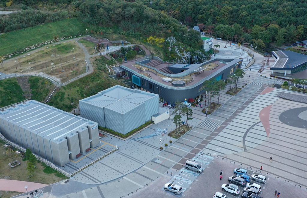
Yeongnam Alps Complex Welcome CenterA multipurpose tourist facility offering mountain culture exhibitions and experiences with films and climbing.
1
Yeongnam Alps Complex Welcome CenterA multipurpose tourist facility offering mountain culture exhibitions and experiences with films and climbing. -
 2
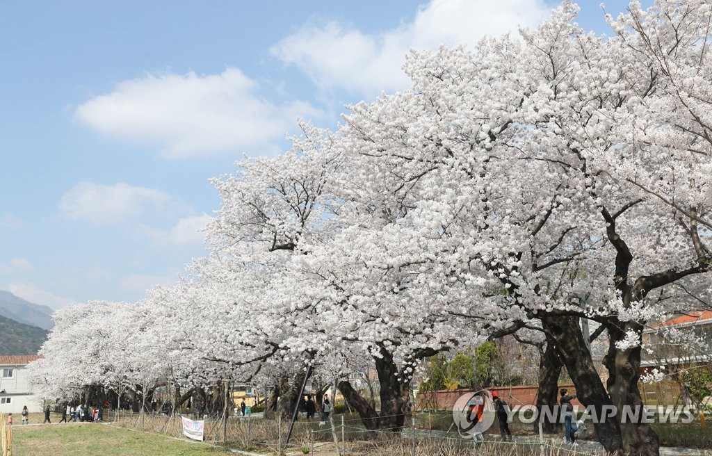
Jakcheonjeong PavilionA scenic spot where visitors can stroll around the valley and pavilion while enjoying the scenery.
2
Jakcheonjeong PavilionA scenic spot where visitors can stroll around the valley and pavilion while enjoying the scenery. -
 3
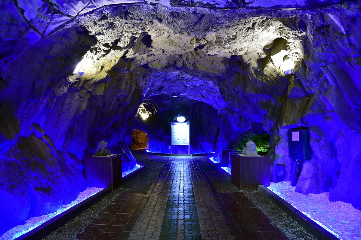
Amethyst Cave LandA tourist attraction where visitors can explore an artificial cave and enjoy cave experiences.
3
Amethyst Cave LandA tourist attraction where visitors can explore an artificial cave and enjoy cave experiences. -
 4
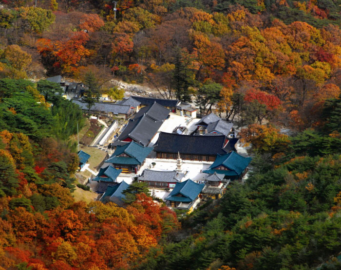
Seoknamsa TempleA place where you can enjoy mountain temple scenery while exploring the cultural heritage of an ancient temple.
4
Seoknamsa TempleA place where you can enjoy mountain temple scenery while exploring the cultural heritage of an ancient temple. -
 5
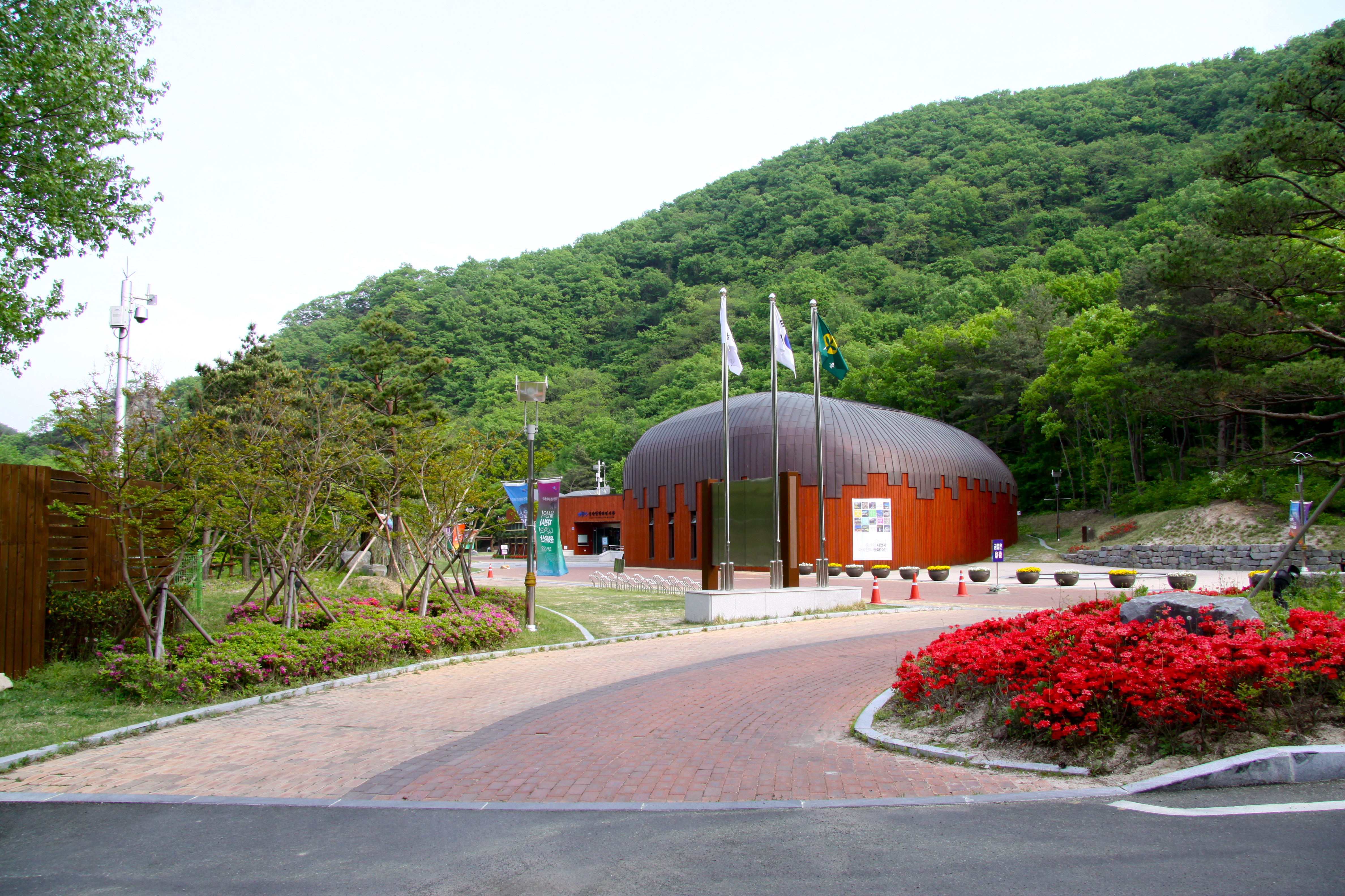
Ulsan Petroglyph MuseumA museum where visitors can explore the Bangudae Petroglyphs and prehistoric culture through exhibitions.
5
Ulsan Petroglyph MuseumA museum where visitors can explore the Bangudae Petroglyphs and prehistoric culture through exhibitions.
Food & Dining 1
-
 6
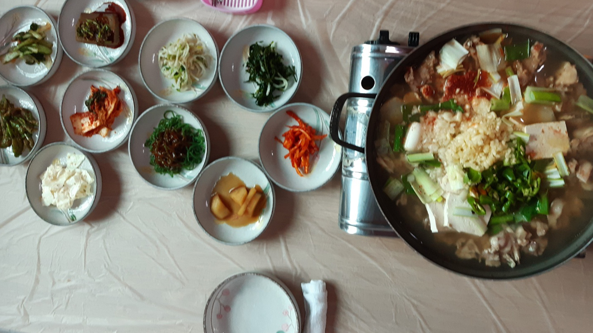
Deungeokgol RestaurantA restaurant near the Deungeok Hot Springs Complex serving duck bulgogi and baeksuk (boiled duck).
6
Deungeokgol RestaurantA restaurant near the Deungeok Hot Springs Complex serving duck bulgogi and baeksuk (boiled duck).
More Travel Guides in This Area
 Travel Guide
Choosing Sashimi, Whale Meat, and Grilled Shellfish at 24 Stalls in Ulsan Jungang Seafood Market
 Travel Guide
Why It’s Easy to Get Lost at Babo Intersection in Front of Ulsan University and How to Actually Get There
 Travel Guide
Ulsan Sinjeong Market, an Urban Market Walk Through the Gukbap Alley and 10 Sections
 Travel Guide
Ulsan Keun-aegi Night Market: How to Explore Jungang Traditional Market at Night
Korea News
 News
News
‘NewJeans Expulsion’ Danielle Releases Her First YouTube Video… “We Don’t Know What Will Happen Next”
![aespa’s North American Tour Has Remaining Seats Despite ‘$49’ Bargain Prices… A Stark Popularity Gap with KATSEYE [TEN Starfield]](https://kotourlive-images.s3.ap-northeast-1.amazonaws.com/news/1788485037424_a59b1932_naver_rank_thumb_0000774618_1788485037424.jpg) News
News
aespa’s North American Tour Has Remaining Seats Despite ‘$49’ Bargain Prices… A Stark Popularity Gap with KATSEYE [TEN Starfield]
![[Photo] TWICE’s Dahyun attends a film festival red carpet as an actress](https://kotourlive-images.s3.ap-northeast-1.amazonaws.com/news/1788485316508_edd43ecd_news_870a60a6-6f11-4d73-aa7c-48d91318a0f7.jpg) News
News
[Photo] TWICE’s Dahyun attends a film festival red carpet as an actress
![[On-Site Video] “We’re Departing Separately Together”… BIGBANG Begins ‘COSMOS’ World Tour](https://kotourlive-images.s3.ap-northeast-1.amazonaws.com/news/1788485226518_c5719641_news_fdd4764a-0f4e-4968-8e4e-e98a02872f88.jpg) News
News