The Ulsan Yeongnam Alps Ridge from 1,240 m Gajisan to Seoknamsa Temple and Ssalbawi
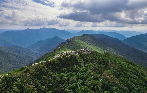
Gajisan is a 1,240-meter peak straddling the boundaries of Ulju County, Miryang City, and Cheongdo County, and the highest peak in the Yeongnam Alps range. Starting from the Seoknamsa Temple parking lot allows you to combine the temple’s cultural heritage with a ridge hike in one itinerary, but a round trip to the summit requires at least half a day.

I’ve been here?
Your check-in helps the next traveler.
27 people viewed this week Be the first
One tap — no writing needed
The Name Changed from “Seoknamsan” to Gajisan in 1674
Gajisan is a 1,240-meter-high mountain spanning Sangbuk-myeon in Ulju-gun, Ulsan Metropolitan City; Sannae-myeon in Miryang-si, Gyeongsangnam-do; and Unmun-myeon in Cheongdo-gun, Gyeongsangbuk-do. It rises from a southern branch of the Taebaek Mountain Range. To the northeast is Munkyoksan (1,013 m), to the west is Unmunsan (1,188 m), and to the southwest the ridgeline continues toward Neungdongsan (982 m) and Cheonhwangsan (1,189 m).
According to the Encyclopedia of Korean Culture, this mountain was originally called Seoknamsan, and the name Gajisan began to be used after Seoknamsa Temple was rebuilt in 1674. “Gaji” is interpreted as a name related to “gachi,” an old word for magpie. Rather than simply hiking to the summit, visiting the mountain together with Seoknamsa reveals the geographic connections among the mountain’s name, the temple, and the Nakdong Jeongmaek mountain range along a single route.
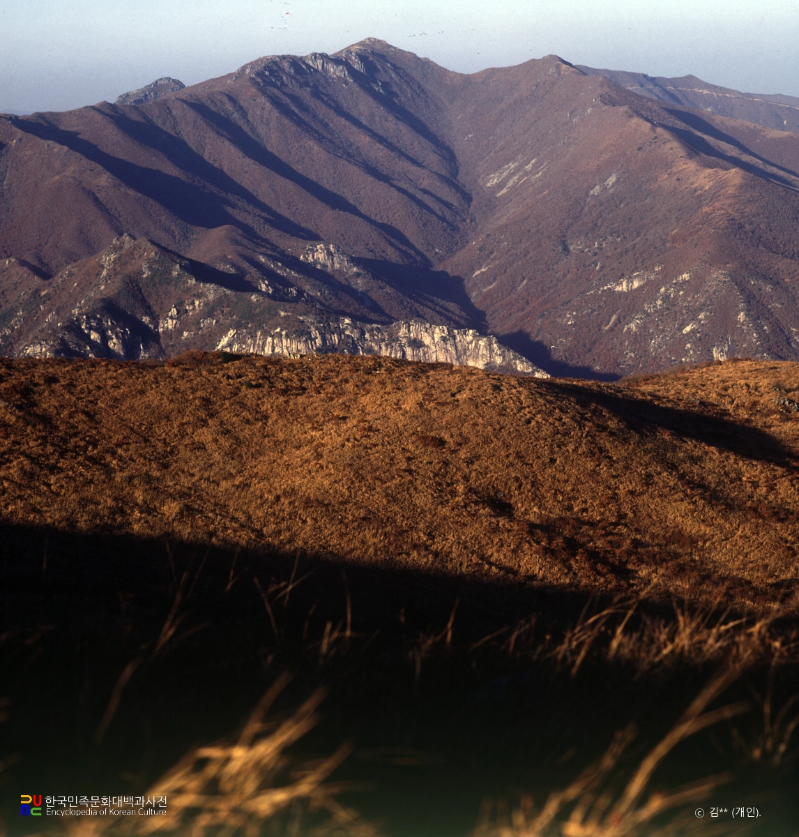
Four Seasons Listed among Ulsan’s 12 Scenic Views and the Natural Monument Azalea Colony
Ulsan City introduces the “Four Seasons of Gajisan” as one of Ulsan’s 12 scenic views. In spring, azaleas and royal azaleas; in summer, valley terrain such as the Seoknamsa Valley, Haksimi Valley, Soejeomgol, and Yongsugol; in autumn, fall foliage; and in winter, snowy scenery around the summit and Ssangbawi all provide seasonal reasons to hike the mountain.
The Gajisan royal azalea colony is Natural Monument No. 462 and is designated in the Gajisan area of Deokhyeon-ri, Sangbuk-myeon, Ulju-gun. The Korea Forest Service’s “100 Famous Mountains” materials also cite spring royal azaleas and rime ice around the winter summit and Ssangbawi as major scenery. However, perceived temperatures along ridges above 1,000 meters can change significantly during seasonal transitions, so it is safer to prepare a windbreaker and insulating layers separately.

From the Seoknamsa Parking Lot to the Summit: Why You Should Allow Half a Day
A representative starting point is the Seoknamsa parking lot around 557 Seoknam-ro, Sangbuk-myeon, Ulju-gun. Hiking information describes the route from Seoknamsa to the Gajisan summit as taking approximately 2 hours 30 minutes, but this is for one way. Including rest stops and the descent, a round trip requires at least 5–6 hours, while a loop route extending to Ssangbawi should be planned to take longer.
The out-and-back route from the Seoknamsa parking lot via Jungbong, the Gajisan summit, and Ssangbawi connects the summit, Jungbong, and Ssangbawi in one hike. Around the summit, rocks and exposed ridges are interspersed, and ankle strain may accumulate even during the descent. From November to February, when daylight is short, it is better to begin the hike by morning at the latest and carry a separate headlamp.
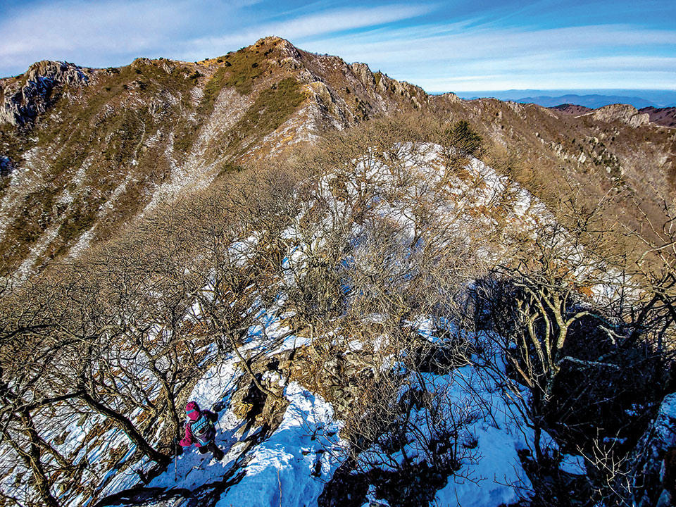
1,114-Meter Ssangbawi and Choices Along the Summit Ridge
Ssangbawi is a rocky feature at an elevation of 1,114 meters and a conspicuous landmark along the Gajisan ridge. A schedule combining the summit and Ssangbawi provides expansive views, but it is not suitable for visitors expecting a short walk. The ridge sections may be exposed directly to the wind, so gloves and a windproof jacket are useful even on clear days.
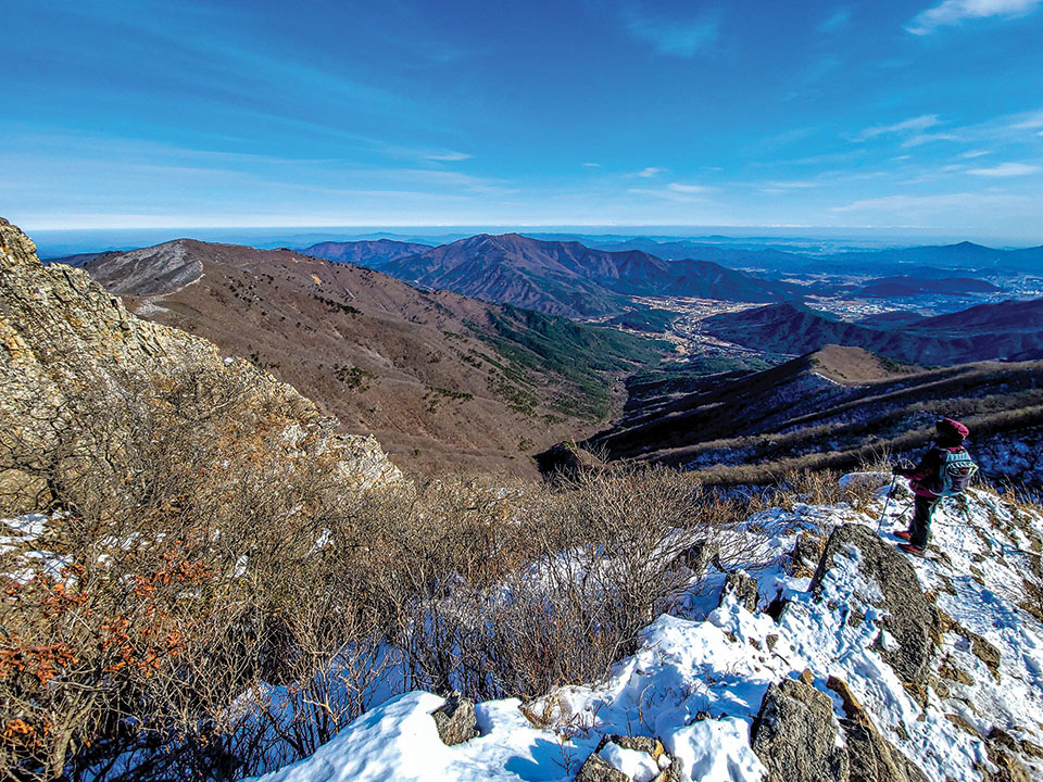
Monthly Mountain introduces Gajisan as the highest peak among the 1,000-meter-class mountains of the Nakdong Jeongmaek and explains that the summit offers open views toward the Ulsan mountain ridges and the East Sea. On days with fog, strong winds, or accumulated snow, however, route-finding and managing slip hazards take priority over the views. Because local weather changes are frequent at this high elevation, check weather advisories and whether the hiking trails are restricted on the day of departure.
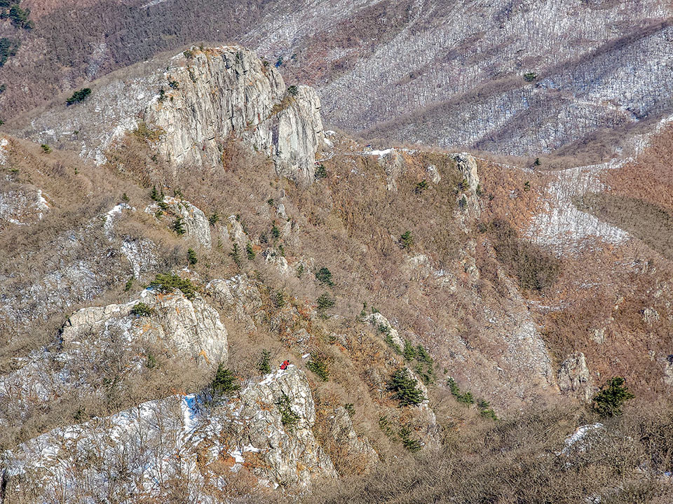
Seoknamsa, Founded by Master Doui in 824, and the Southern Foothills
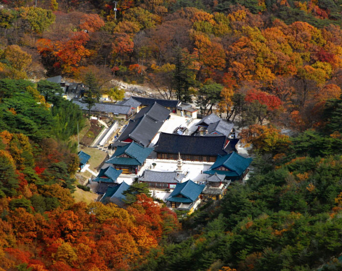
Seoknamsa, on the southern foothills of Gajisan, is known as a temple founded in 824 by Master Doui, during the 16th year of the reign of King Heondeok of Silla. Doui is regarded as the monk who introduced Southern School Seon Buddhism from China to Silla, and Seoknamsa is still known today as a place of practice for Buddhist nuns. If you visit the temple before or after hiking, follow the rules of quiet required in a space for Buddhist services and practice rather than treating it like a hiking facility.
Seoknamsa preserves cultural heritage including the Seoknamsa Stupa in Ulju and the Seoknamsa Three-Story Stone Pagoda. The fact that Gajisan is not merely a high peak but a mountain where the memories of Silla Buddhism and the Gajisan Buddhist school overlap is especially clear along the route ascending to the summit through the Seoknamsa Valley. It is advisable to check temple visiting hours and hiking hours separately and avoid entering the temple grounds late in the day.
Public Transit Route to the Seoknamsa Terminus on Bus 807
By public transportation, one option is to take Bus 807 toward Seoknamsa from the Eonyang area. Bus 807 departs from the former Eonyang Bus Terminal and runs via Eonyang Alps Market, the Sangbuk-myeon Community Service Center, Gungpyeong, and Haengjeong before reaching the Seoknamsa terminus. Rather than starting the hike immediately upon arriving at Ulsan Station, it is important to coordinate the bus schedule first and check the return service schedule before hiking.
Drivers can easily use the Seoknamsa parking lot as the hiking base. However, on weekends during the fall foliage and snow-flower seasons, entering the parking lot and leaving after the descent may take time. Parking fees and operating procedures may change, so it is safest to check with the site or managing organization before departure. No paved trail suitable for wheelchair or stroller access to the summit has been confirmed, so users of mobility aids should separately inquire about accessibility conditions within the Seoknamsa grounds and around the parking lot.
A Mountain Without Operating Hours or Admission Fees—But Descend Before Sunset
No separate ticketing facility has been confirmed at the Gajisan summit or on the general hiking trails, so admission is listed as free. The mountain itself is a natural area generally open at all times and therefore has no set operating hours, but this does not mean that nighttime hiking is recommended. Plan to descend before sunset, and during torrential rain, heavy snow, or strong winds, give priority to control notices from local governments and forest authorities.
Representative contact information and integrated official guidance can be found on the “Four Seasons of Gajisan” page of the Ulsan tourism website. Since no single phone number for the entire mountain has been confirmed, those planning to visit Seoknamsa as well should contact the temple separately at 052-264-8900 regarding temple visits. As the availability of on-site guidance in foreign languages has not been confirmed, it is advisable to prepare an offline map in a map app, emergency food and water, and a portable battery.
Before You Go
- Address
- Around 557 Seoknam-ro, Sangbuk-myeon, Ulju-gun, Ulsan (based on departure from the Seoknamsa parking lot)
- Hours
- Mountain hiking area generally open at all times (no separate operating hours confirmed for the summit or trails; descent before sunset recommended)
- Closed
- No regular closing days. Restrictions may occur due to weather advisories, forest fire precaution periods, or disasters
- Admission
- Free
- Phone
- No single representative number confirmed for the Gajisan hiking area; Seoknamsa: 052-264-8900
- Official site
- https://www.ulsan.go.kr/tour/kor/unit/attrctn/view.ulsan?mId=001002001000000000&unqId=1
- Transport
- Take Bus 807 from the former Eonyang Bus Terminal and get off at the Seoknamsa terminus. Bus 807 runs via Eonyang Alps Market, the Sangbuk-myeon Community Service Center, Gungpyeong, and Haengjeong.
- Parking
- The Seoknamsa parking lot is available. Checking parking fees and operating procedures before departure is recommended
- Time needed
- At least 5–6 hours recommended for a round trip to the summit; the Seoknamsa parking lot–Jungbong–summit–Ssangbawi loop takes at least half a day
- Accessibility
- The summit and ridges include steep slopes, rocky sections, and unpaved areas, making them unsuitable for wheelchair or stroller access. The availability of on-site guidance in foreign languages has not been confirmed
The information above is current as of the time of writing. Check the official guidance again before visiting.

Places
Nearby Attractions 4
-
 1
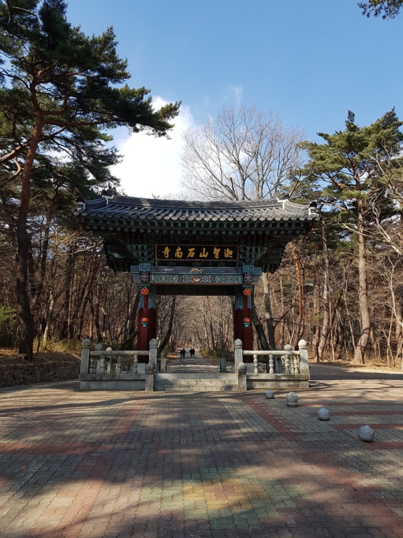
Seoknamsa TempleA temple where you can explore a tranquil mountain temple and cultural heritage
1
Seoknamsa TempleA temple where you can explore a tranquil mountain temple and cultural heritage -
 2
2
-
 3
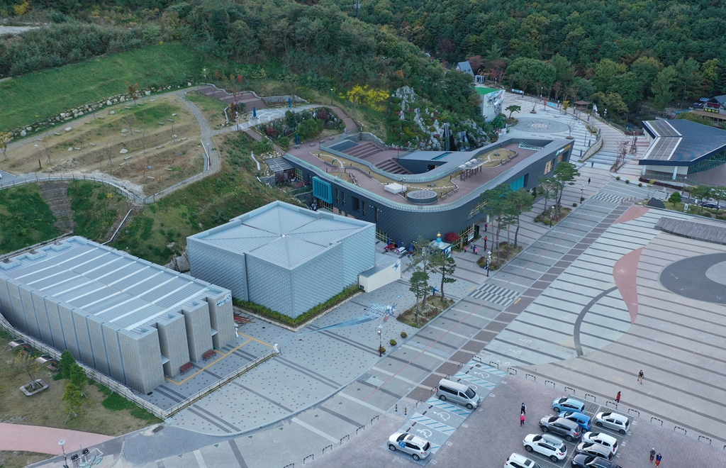
Yeongnam Alps Complex Welcome CenterA space offering mountain tourism information and access to film and hands-on experience facilities.
3
Yeongnam Alps Complex Welcome CenterA space offering mountain tourism information and access to film and hands-on experience facilities. -
 4
4
Food & Dining 1
-
 5
Seoknamsa-ganeun-gilA Korean restaurant serving chicken soup with neungi mushrooms and pork belly with minari.
5
Seoknamsa-ganeun-gilA Korean restaurant serving chicken soup with neungi mushrooms and pork belly with minari.
More Travel Guides in This Area
 Travel Guide
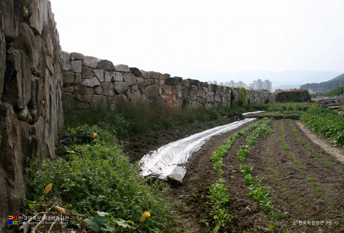
Reading Eonyang’s 636-Year Fortress Map at Yeonghwaru
 Travel Guide
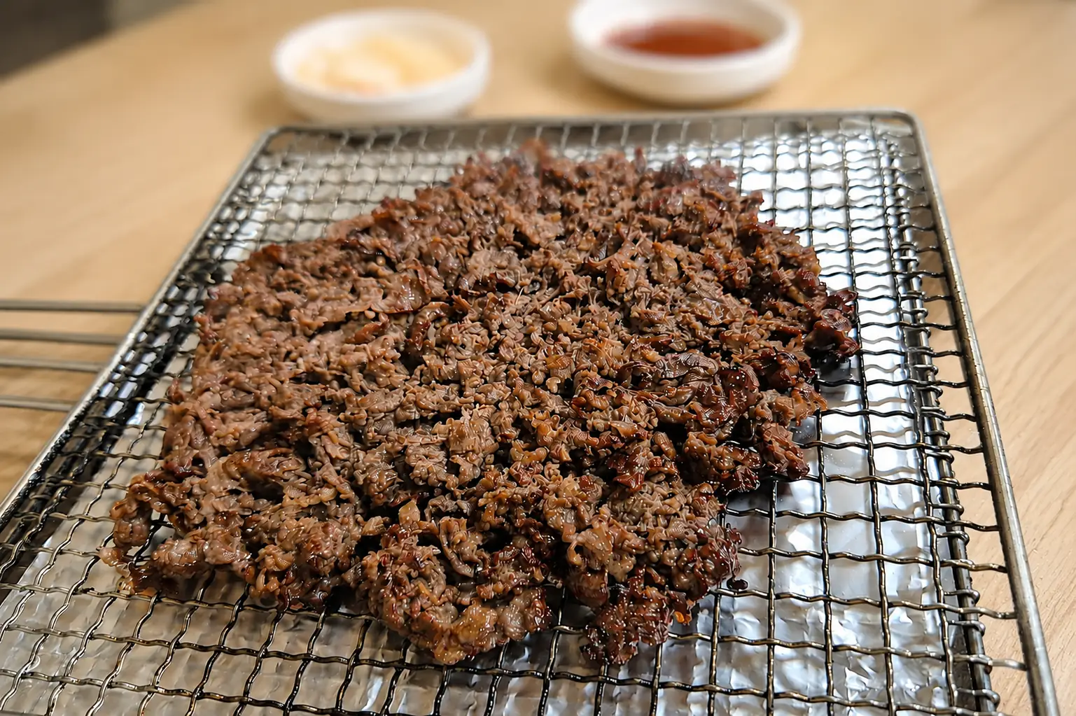
Walking Along the Charcoal-Grill Aroma of Eonyang Bulgogi Street
 Travel Guide
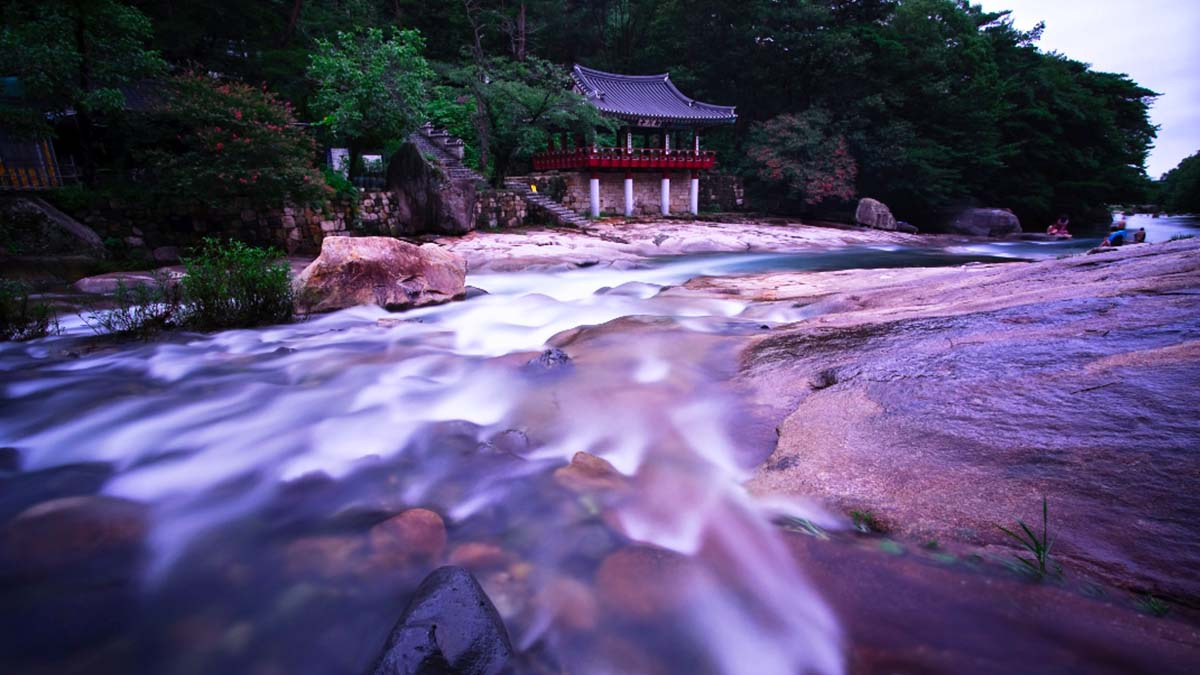
The Broad Rocks and Jakcheonjeong Pavilion at Ulsan’s Jakgwaecheon Stream, Sculpted by Water from Mt. Ganwolsan
 Travel Guide
How to Explore the Yeongnam Alps, from Ganwoljae to the Seven-Peak Completion Certificate
Korea News
 News
News
‘NewJeans Expulsion’ Danielle Releases Her First YouTube Video… “We Don’t Know What Will Happen Next”
![aespa’s North American Tour Has Remaining Seats Despite ‘$49’ Bargain Prices… A Stark Popularity Gap with KATSEYE [TEN Starfield]](https://kotourlive-images.s3.ap-northeast-1.amazonaws.com/news/1788485037424_a59b1932_naver_rank_thumb_0000774618_1788485037424.jpg) News
News
aespa’s North American Tour Has Remaining Seats Despite ‘$49’ Bargain Prices… A Stark Popularity Gap with KATSEYE [TEN Starfield]
![[Photo] TWICE’s Dahyun attends a film festival red carpet as an actress](https://kotourlive-images.s3.ap-northeast-1.amazonaws.com/news/1788485316508_edd43ecd_news_870a60a6-6f11-4d73-aa7c-48d91318a0f7.jpg) News
News
[Photo] TWICE’s Dahyun attends a film festival red carpet as an actress
![[On-Site Video] “We’re Departing Separately Together”… BIGBANG Begins ‘COSMOS’ World Tour](https://kotourlive-images.s3.ap-northeast-1.amazonaws.com/news/1788485226518_c5719641_news_fdd4764a-0f4e-4968-8e4e-e98a02872f88.jpg) News
News