3-km Rainbow-Colored Seawall Linking Sacheon Bay’s Mudflats and Daepo Port
Sacheon Rainbow Coastal Road is a short driving route along Sacheon Bay from Jongpo to Miryong Village in Yonghyeon-myeon, offering views of a rainbow-colored seawall, mudflats, and Daepo Port. As it is a public road that requires no admission or reservation, visitors should prioritize using designated spaces and pedestrian safety over stopping or parking along the road around sunset.

I’ve been here?
Your check-in helps the next traveler.
22 people viewed this week Be the first
One tap — no writing needed
A 3 km stretch from Jongpo to Miryong Village: a coastal road to experience rather than a tourist facility
Sacheon City Culture and Tourism officially refers to this place as the “Rainbow-colored Coastal Road” and identifies its location as the Jongpo–Miryong Village area. This section of the Sacheon Bay coastal road, which runs along the coast of Yonghyeon-myeon toward Daepo Village in Namyang-dong, is lined with rainbow-colored safety barriers. It is therefore not a tourist attraction accessed through a single entrance, but a public road where visitors drive and make brief stops at points of interest.
Local reviews describe it as approximately 3 km from Songji-ri in Yonghyeon-myeon to the Daepo-dong area, while other records introduce it as an approximately 2.81 km section from Daepo Port to Dangganmadang Park. Because the distance varies depending on how the starting and ending points are defined, it is best to use “Sacheon Rainbow Coastal Road” or 212-3 Geummun-ri, Yonghyeon-myeon, Sacheon-si, Gyeongsangnam-do as an additional search term in your navigation system, rather than trying to locate a single point using only a road-name address.
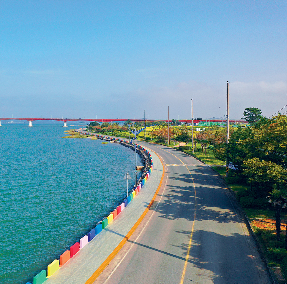
The tides of Sacheon Bay transform the pontoon bridge and mudflat scenery
The side of this road facing the sea has an intertidal zone, so the same place looks different depending on the tide. A 2022 visitor review notes that the sea rises close to the road at high tide and that broad mudflats appear at low tide. It also observes that the pontoon bridge may appear to float or to rest on the mudflats depending on the water level. If you plan to visit mainly for the sea views, it is advisable to check not only the sunset time in Sacheon but also the tide table for the day of your visit.
Sacheon City’s official day-trip guide introduces this road as a place to see “blue sea harmonizing with spectacular coastal scenery.” Although the mudflats and pontoon bridge may look like extensions of a walking path, tides, slippery conditions, and the state of railings can change. When leaving the road or entering the pontoon bridge, always give priority to on-site controls and safety signs.
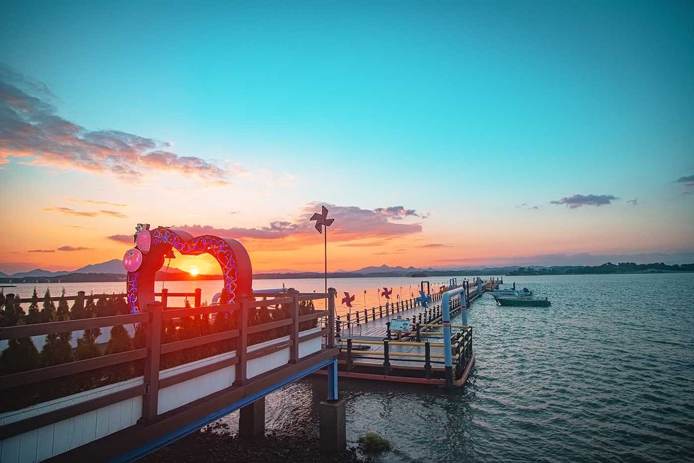
Why were the rainbow barriers created? A road that transformed yellow safety walls into a seven-color landscape
Several records from 2020–2021 explain that the safety barrier on the sea side of this road was formerly yellow and later painted in seven colors, becoming known as the “Rainbow Coastal Road.” In other words, the rainbow colors come not from a bridge or pedestrian overpass built over the sea, but from the landscape improvement of existing safety facilities separating vehicle and pedestrian areas.
Sacheon is a city where the narrow coastal plains around Sacheon Bay meet mountainous terrain such as Waryongsan and Gaksan. Along this road, Sacheon Bay appears on one side while rice paddies and village scenery overlap on the other. The contrast between “sea and rice paddies,” repeatedly mentioned in reviews, also comes from this coastal-plain environment. Rather than climbing onto the safety barriers, take photographs from a safe pedestrian position at the edge of the road without obstructing traffic.
From Daepo Port to “When Longing Is Dyed”: plan where to park first
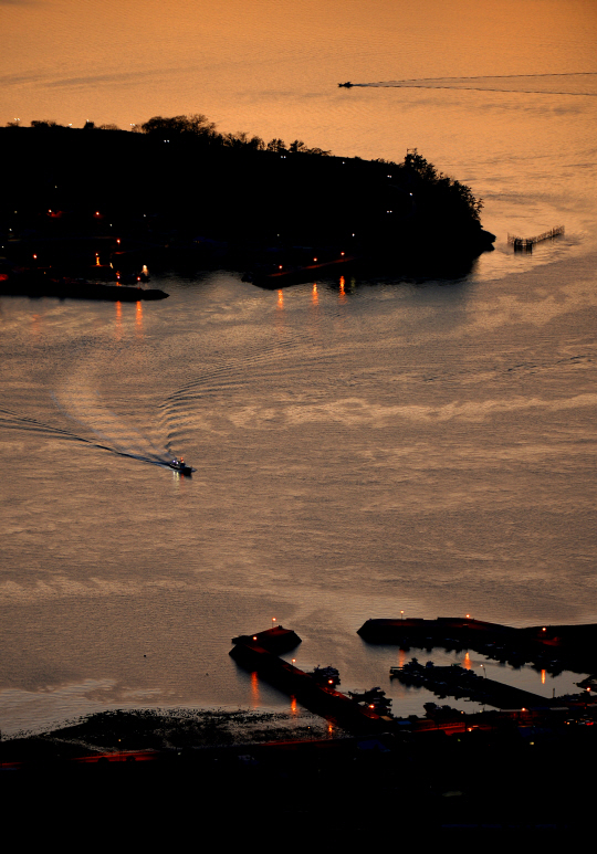
Daepo Port is a reference point that frequently appears in descriptions of the Rainbow-colored Coastal Road. A 2021 review introduces the female sculpture at the end of Daepo Port’s breakwater as “When Longing Is Dyed” and records that the road extends in both directions from the port. If you plan to travel the entire road round trip, it is safer to decide on your photo spots first and then move between them.
No fixed municipal guidance could be found regarding whether parking is paid or free or how many spaces are available. However, a 2023 visitor review states that parking was available at a location near a pavilion by the entrance. This does not guarantee current operation, so avoid stopping on shoulders, at intersections, or beside the safety barriers, and use parking spaces only when they are marked on site. The recommended time for combining sightseeing and photography along the road is approximately 30–60 minutes.
How to choose between two different scenes: one hour before sunset or weekday daytime
Reviews documenting this place repeatedly highlight sunsets and evening skies as key scenes. When the western sky turns red, the colors of the safety barriers and the surface of Sacheon Bay change together, but road illumination may be low after sunset. If photography is your main purpose, arrive about one hour before sunset to check your parking location and walking route first. After sunset, it is best not to walk along the edge of the road without reflective materials or a flashlight.
Conversely, daylight is more advantageous if you want to capture the colors clearly. Reviews note that because the coastal road is long, you can choose a different background after walking only a few steps, but this does not change the fact that it is a road with vehicle traffic. No official information could be confirmed regarding continuous walking paths, gradients, or foreign-language signs for stroller and wheelchair users. For travelers using mobility aids, the safest option is to choose only flat locations close to the accompanying vehicle.
Approximately 13 km from Sacheon IC: why a private car or taxi is more practical than public transportation
A 2022 record states that the road is approximately 13 km from Sacheon IC when traveling toward Sacheon City Hall. The official tourism page gives only the Jongpo–Miryong Village area as the location and does not provide a specific bus route, stop, or walking time. Therefore, for first-time foreign visitors, traveling by rental car or taxi from downtown Sacheon or the Samcheonpo area is easier to predict than transferring between public transportation routes.
The road-name address 43 Seobusijang-gil, Sacheon-si, Gyeongsangnam-do is difficult to regard as the road’s official representative point, and the provided coordinates, 34.927921, 128.071307, should also be cross-checked on a map before departure. Sacheon City Experience Tourism Center is listed as an official contact at 055-835-1023. For matters that may change on the day, such as events, construction, or parking restrictions, calling before departure is the most reliable approach.
A southern coastal route that becomes a half-day trip when combined with Silan Sunset and Sacheon Ocean Cable Car
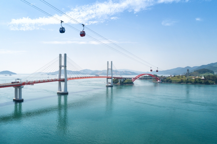
Seeing only the Rainbow-colored Coastal Road takes about 30–60 minutes, but it is easy to combine it with Silan Sunset and Sacheon Ocean Cable Car as part of a Sacheon sightseeing itinerary. Sacheon Ocean Cable Car is located at 18 Sacheon-daero, Sacheon-si, and operates three stations connecting Choyangdo and Gaksan. According to the official guide, the sea section is 816 m long and the maximum height is 74 m. Operations may be suspended for safety reasons during torrential rain, thunder and lightning, or strong winds.
The cable car guide lists a total of three free parking areas, including Parking Lots 1, 2, and 3. For a car trip, visiting the coastal road briefly first and then moving to the cable car parking areas can reduce parking-related stress. On the other hand, Sacheon Bay Coastal Road is not a destination densely packed with shops or indoor attractions, so it may not suit travelers looking for a place to stay for a long time on rainy, very windy, or severely cold days.
Before You Go
- Address
- Jongpo–Miryong Village area, Yonghyeon-myeon, Sacheon-si, Gyeongsangnam-do
- Hours
- Public road open 24 hours (no separate operating hours listed on the official tourism page)
- Closed
- None (public road; no separate closed days listed on the official tourism page)
- Admission
- Free
- Phone
- 055-835-1023 (Sacheon City Experience Tourism Center)
- Official site
- https://toursacheon.net/
- Transport
- Described as approximately 13 km from Sacheon IC. The official tourism page does not list a specific city bus route, stop, or walking time.
- Parking
- Official parking lot, fees, and number of spaces could not be confirmed. Visitor reviews mention parking near the entrance pavilion; follow on-site signs.
- Time needed
- 30–60 minutes
- Accessibility
- Official information on continuous walking paths, wheelchair and stroller accessibility, and foreign-language guidance could not be confirmed.
The information above is accurate as of the time of writing. Check the official guidance again before visiting.

Places
Nearby Attractions 5
-
 1
1
-
 2
Sacheon Sea Cable CarA place to enjoy the scenery while riding a cable car connecting Gaksan Mountain, the sea, and Choyangdo Island.
2
Sacheon Sea Cable CarA place to enjoy the scenery while riding a cable car connecting Gaksan Mountain, the sea, and Choyangdo Island. -
 3
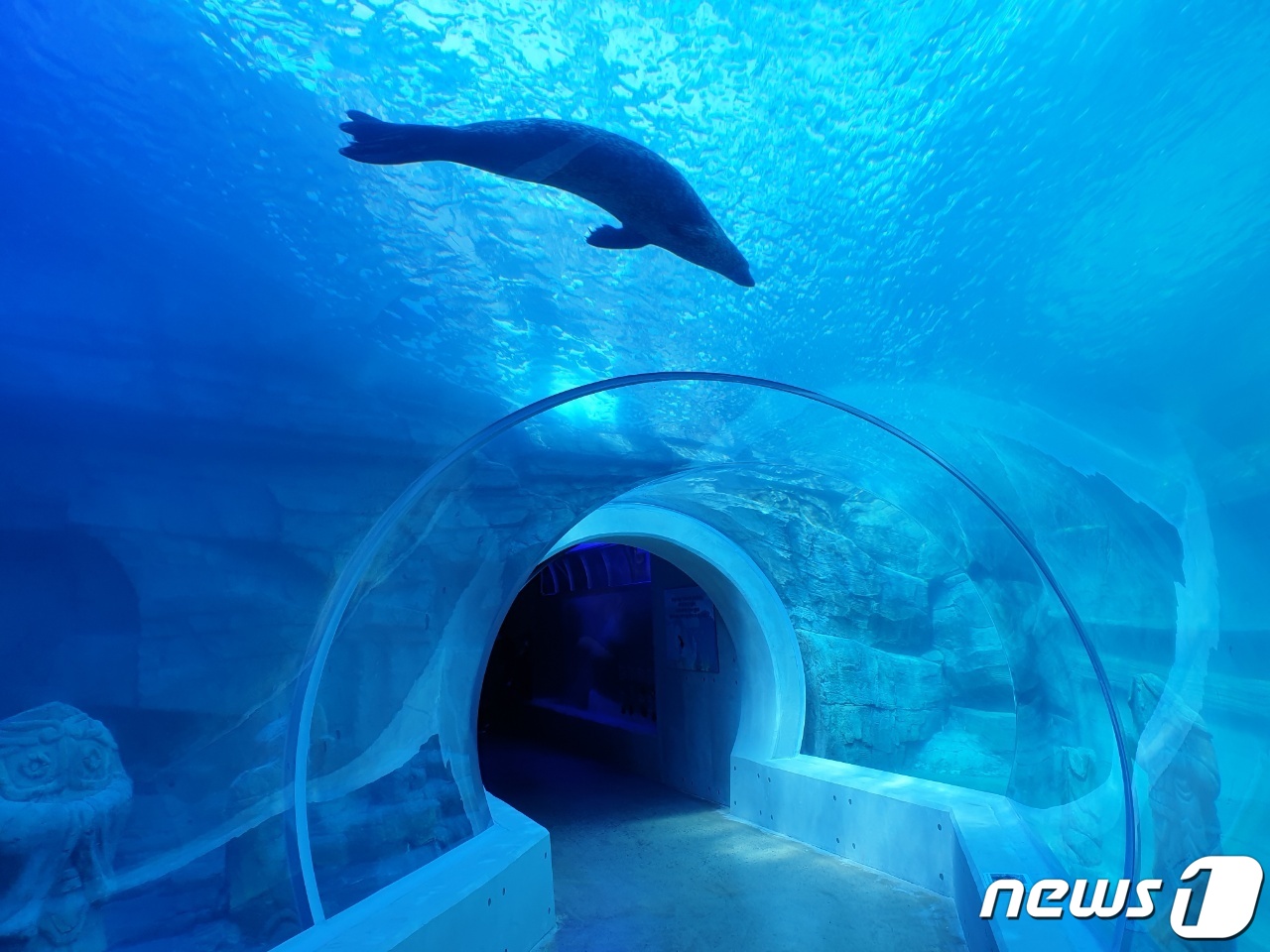
Aramaru AquariumA place where visitors can see marine life and various animals in indoor tanks and exhibition halls.
3
Aramaru AquariumA place where visitors can see marine life and various animals in indoor tanks and exhibition halls. -
 4
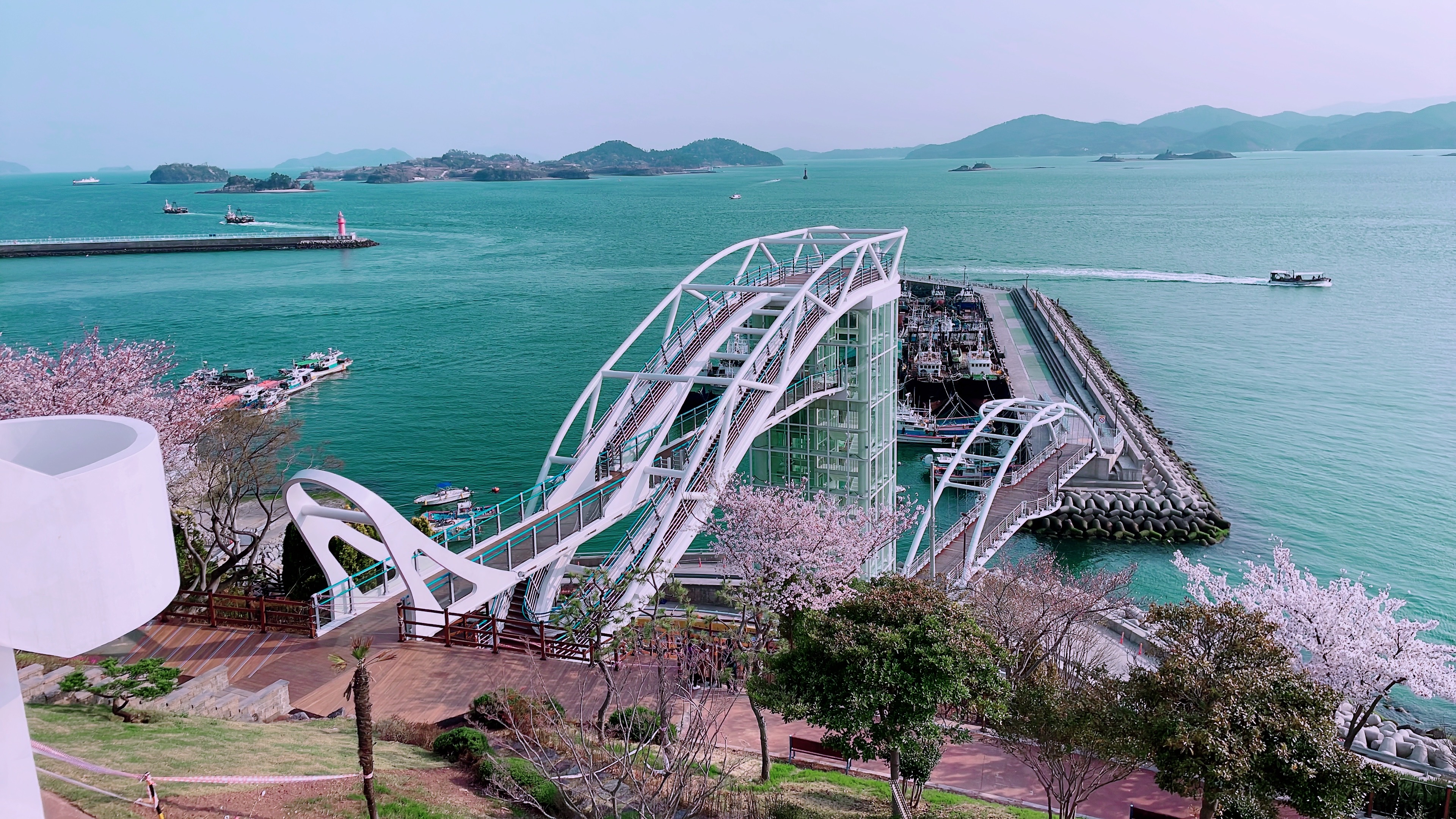
Cheongneol ParkA park where you can enjoy the seascape around Samcheonpo Port along with walking trails.
4
Cheongneol ParkA park where you can enjoy the seascape around Samcheonpo Port along with walking trails. -
 5
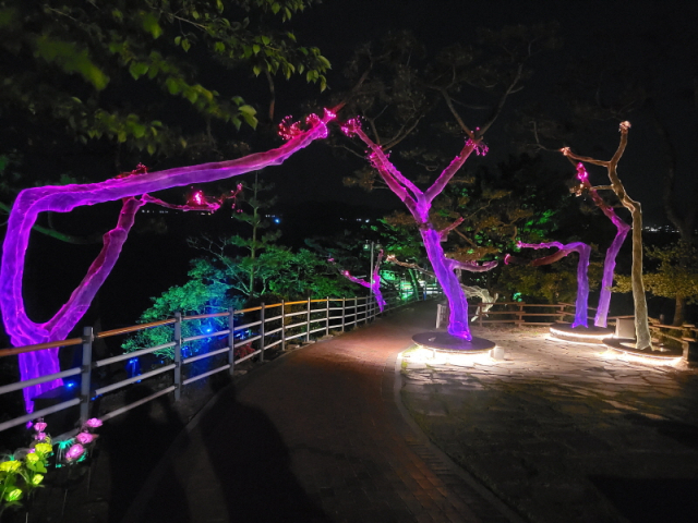
Nosan ParkAn urban park where you can stroll and relax while enjoying views of the harbor and sea
5
Nosan ParkAn urban park where you can stroll and relax while enjoying views of the harbor and sea
Food & Dining 2
-
 6
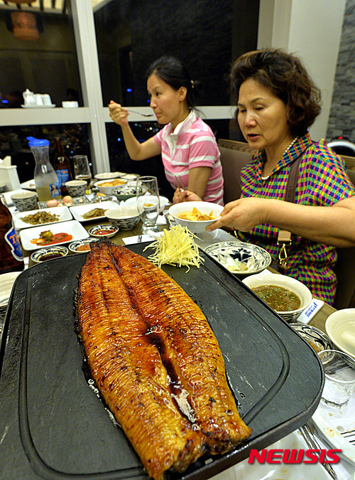
Giryongjeong JangeoguiA restaurant by Siran seaside specializing in meals centered around grilled eel.
6
Giryongjeong JangeoguiA restaurant by Siran seaside specializing in meals centered around grilled eel. -
 7
Green HoetjipA sashimi restaurant in the Siran area serving fresh fish sashimi and seafood dishes.
7
Green HoetjipA sashimi restaurant in the Siran area serving fresh fish sashimi and seafood dishes.
Events in This Area
Festivals in This Area

More Travel Guides in This Area
 Travel Guide
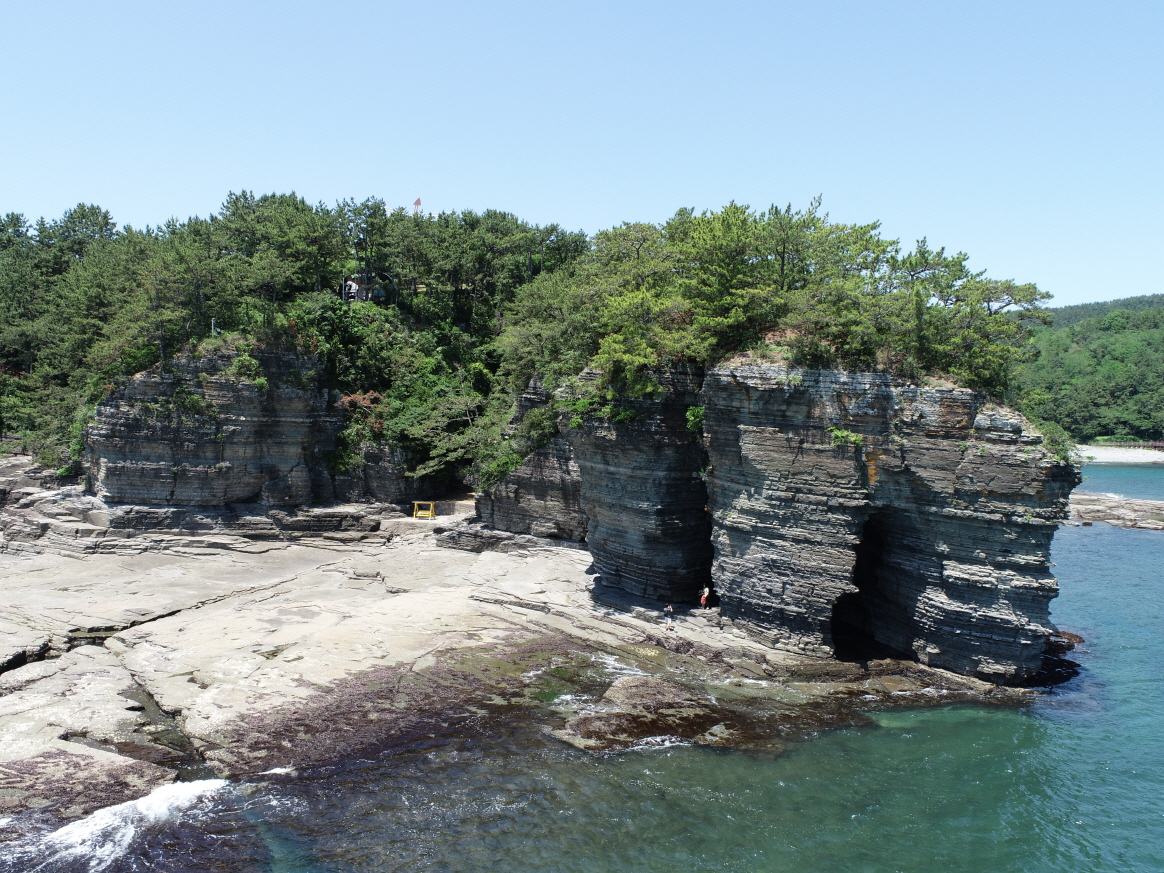
A Coastal Walk at Sangjokam County Park, Reading Cretaceous Footprints and the Tides Together
 Travel Guide
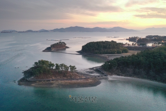
Bito Island: Where the Legend of Byeoljubujeon Meets the Tides
 Travel Guide
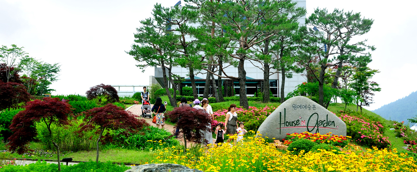
Namhae Garden Art Village Created by 20 Horticultural Artists: A 50,000-Pyeong Garden Community Next to German Village
 Travel Guide
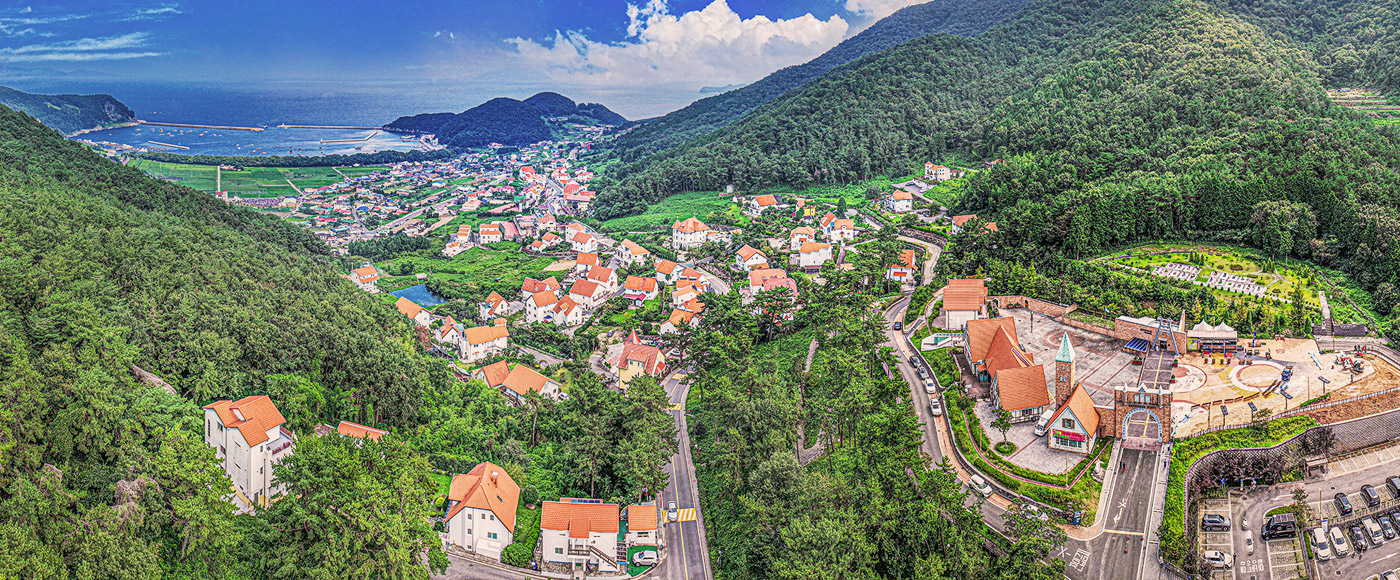
The Orange Roofs Left by the Return of the Overseas Workers: Namhae German Village
Korea News
 News
News
‘NewJeans Expulsion’ Danielle Releases Her First YouTube Video… “We Don’t Know What Will Happen Next”
![aespa’s North American Tour Has Remaining Seats Despite ‘$49’ Bargain Prices… A Stark Popularity Gap with KATSEYE [TEN Starfield]](https://kotourlive-images.s3.ap-northeast-1.amazonaws.com/news/1788485037424_a59b1932_naver_rank_thumb_0000774618_1788485037424.jpg) News
News
aespa’s North American Tour Has Remaining Seats Despite ‘$49’ Bargain Prices… A Stark Popularity Gap with KATSEYE [TEN Starfield]
![[Photo] TWICE’s Dahyun attends a film festival red carpet as an actress](https://kotourlive-images.s3.ap-northeast-1.amazonaws.com/news/1788485316508_edd43ecd_news_870a60a6-6f11-4d73-aa7c-48d91318a0f7.jpg) News
News
[Photo] TWICE’s Dahyun attends a film festival red carpet as an actress
![[On-Site Video] “We’re Departing Separately Together”… BIGBANG Begins ‘COSMOS’ World Tour](https://kotourlive-images.s3.ap-northeast-1.amazonaws.com/news/1788485226518_c5719641_news_fdd4764a-0f4e-4968-8e4e-e98a02872f88.jpg) News
News