Nari Basin Where the Caldera Plain Meets Traditional Log Houses
Nari Basin is a caldera crater plain at an elevation of about 350 meters, forming Ulleungdo’s only broad flatland. Although it is listed as free and open year-round, operating information and bus schedules may change, so check the latest notices. It is best explored by traveling from Cheonbu and dividing your visit between the traditional houses and forest trails.

I’ve been here?
Your check-in helps the next traveler.
14 people viewed this week Be the first
One tap — no writing needed
Ulleungdo’s only flatland, formed inside a 350 m-high caldera
Nari Basin is a crater floor formed when the caldera crater collapsed after viscous trachyte, andesite, and tuff erupted during volcanic activity at the end of the Cenozoic Tertiary Period. It lies at an elevation of about 350 m, measures approximately 1.5 km east to west and 2 km north to south, and covers about 1.5–2.0 ㎢.
As the only place on Ulleungdo with a broad flat area, it became a settlement where dry-field farming was possible. Mountains around 500 m high surround the basin like a folding screen, and to the south stands Seonginbong, 984 m high.
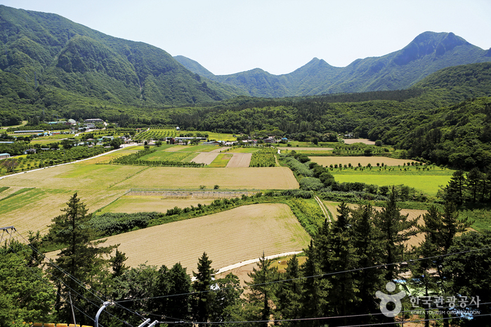
The name “Nari,” originating from the roots of island lilies
The name Nari Basin originated from the fact that people in the past dug up and ate the roots of island lilies when food supplies were scarce. Even today, the wild-greens culture of Nari Village introduces myeongi, bujigaengi, and island lilies as major local foods.
Development of Ulleungdo began in 1882, and Nari Village is introduced as a representative settlement of pioneers inside the caldera basin. The basin’s flat land became the foundation of daily life for growing potatoes, corn, and wild greens, but housing adapted to Ulleungdo’s heavy snowfall was also necessary.
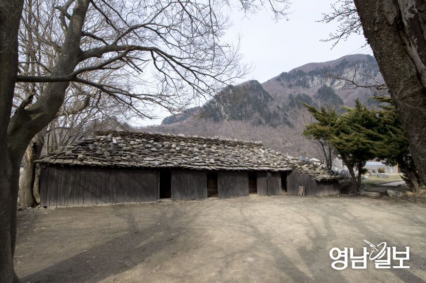
Albong, 611 m, separating Nari Village from Albong Village
Inside Nari Basin is Albong, a conical central volcanic cone standing 611 m high. Lava flowing down from Albong divided the basin into two crater floors, with Nari Village located in the northeast and Albong Village in the southwest.
Visitors focused on walking can consider the area around Albong, 538 m high, and the Gitdaebong 579 m loop trail as recommended routes. The area around Nari Basin is registered as a National Geopark because of its volcanic terrain, and walking and trekking courses have been developed.
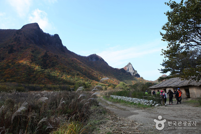
How the Udegi of the Tumak houses demonstrates adaptation to heavy snow
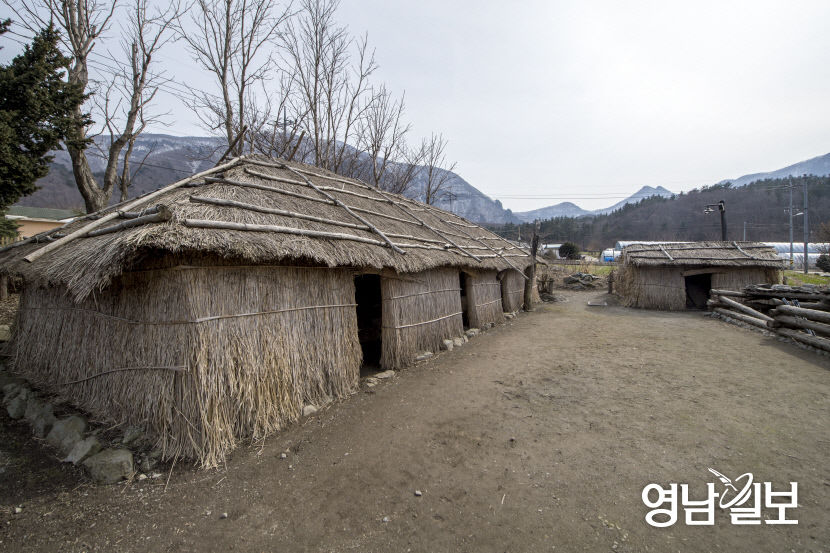
Traditional houses in Nari Village include shingle-roofed tumak houses and silver-grass tumak houses, introduced as traditional residential culture designated as National Folk Cultural Heritage. Their distinctive feature is the Udegi style, in which wind- and snow-resistant structures are added around the outside of the houses.
Tumak houses and shingle-roofed houses can be viewed free of charge, and some information states that the nature ecology trail has no viewing-hour restrictions. However, rather than interpreting this as permission to freely enter every space like an indoor exhibition hall, it is safer to plan to view the open houses and designated exploration areas.
The route into Nari Basin via Cheonbu from Dodong Port
Foreign visitors arriving on Ulleungdo can first plan their journey around Dodong Port. The stated travel time is about 1 hour 5 minutes by bus from Dodong Port to Cheonbu, followed by approximately 15–20 minutes by bus from Cheonbu Bus Stop to Nari Basin, requiring a vehicle change in Cheonbu.
Note: Timetables may change frequently, so the latest information should be checked. If you miss a bus, you may have to wait until the next one, so it is advisable to decide your return time first as soon as you arrive.
The official address is listed as 201 Nari, Buk-myeon, Ulleung-gun, Gyeongsangbuk-do, and the phone number is 054-790-6423, subject to confirmation. The road-name address “63-2 Nari 1-gil, Buk-myeon, Ulleung-gun, Gyeongsangbuk-do, Neulpureun Mountain Lodge Restaurant” can be used to check the area around the destination; searching for both Nari Basin and 201 Nari on a map can help reduce confusion.
Why free, year-round access does not mean the mountain trails are the same place
Note: Although the site is described as open year-round, with no closing days and free admission, the latest operating information must be checked. Accordingly, guidance indicates that no separate admission ticket is needed to view the general outdoor basin and the open traditional houses and trails. The official information website is the Nari Village website: https://narivillage.com/.
For the 5.5 km Albong Loop Trail, reviews and trail information list an estimated duration of about 2 hours 30 minutes. Hiking over Seonginbong is different from a short walk. The KBS Relay Station Course is 8.1 km and takes 4–5 hours, the Daewonsa Course is 8.7 km and takes 4–5 hours, and the Anpyeongjeon Course is 7.7 km and takes 4–5 hours; the routes from the KBS Relay Station and Daewonsa to Seonginbong are uphill mountain trails.
The extent to which walking and hiking trails are open, restrictions due to bad weather, photography limitations, and whether English information or audio guides are available cannot be confirmed from the listed information alone. On days when snow or rain is expected, it is more practical not to combine a flatland visit and a Seonginbong hike in the same itinerary.
What foreign visitors should know first about parking and accessible travel
Parking is described as available at a public parking lot, but the number of spaces and parking fees are not provided. Note: Nari Basin Management Office, 054-790-6423, and Tumak House·Nature Ecology Trail, 054-790-6393, are listed, but the latest numbers need to be confirmed.
Accessibility information indicates a level difference at the main entrance, no accessible restroom, no accessible parking spaces, and no wheelchair or stroller rental. Wheelchair and stroller users should assess the actual surfaces of the public parking lot and open flatland areas with a companion rather than choosing the forest trails toward Albong or Seonginbong.
Nearby points around Nari Basin include the Chusan Natural Scenic Area Loop Trail, 0.2 km away, and Sanmaeul Restaurant, also 0.2 km away. Seonginbong Primeval Forest is 1.8 km away, while Elephant Rock and Cheonbu Port are each listed as 2.2 km away. It is best to secure your bus return time first and then add nearby destinations.
The story of water and forests that is easy to miss in Nari Basin
Nari Basin is introduced as the source of Yongchulso to the north and Bongnaepokpo Falls to the southeast, among Ulleungdo’s two major drinking-water sources. The Nari Village website explains that 20,000 tons of groundwater emerge daily from Yongchulso, showing that the basin is not simply a scenic viewpoint but terrain connecting the island’s water cycle with daily life.
About 1,300 plant species are said to coexist in Nari Village, including island-specific plants such as Ulleung chrysanthemum, which grows naturally only on Ulleungdo. Seonginbong Primeval Forest is introduced as Natural Monument No. 189, and the Nari Basin forest trail received the “Coexistence Award” at the 13th National Beautiful Forest Competition.
A seasonal event is the Ulleungdo Snow Flower Festival, which the Nari Village website describes as an excellent festival designated by Gyeongsangbuk-do in 2024–2025. As the event’s current operation and trail conditions may vary each year, winter itineraries should treat snowy roads and bus operations as separate variables.
Before You Go
- Address
- The official address is listed as 201 Nari, Buk-myeon, Ulleung-gun, Gyeongsangbuk-do; confirmation required
- Hours
- Note: Listed as open year-round, but the latest operating information must be checked
- Closed
- Note: Listed as none, but the latest operating information must be checked
- Admission
- Note: Listed as free, but the latest operating information must be checked
- Phone
- Note: Listed as 054-790-6423, but the latest number must be confirmed
- Official site
- https://narivillage.com/
- Transport
- About 15 minutes by route bus from Cheonbu Bus Stop to Nari Basin. About 1 hour 5 minutes by bus from Dodong Port to Cheonbu, then about 20 minutes by bus from Cheonbu to Nari Basin. Timetables may change frequently; check the latest information.
- Parking
- Public parking lot
- Time needed
- About 2 hours 30 minutes based on reviews and trail information, when touring the 5.5 km Albong Loop Trail
- Accessibility
- A level difference at the main entrance, no accessible restroom, no accessible parking spaces, no wheelchair rental, and no stroller rental are indicated.
The information above is current as of the time of writing. Check the official information again before visiting.

Places
Nearby Attractions 1
-
 1
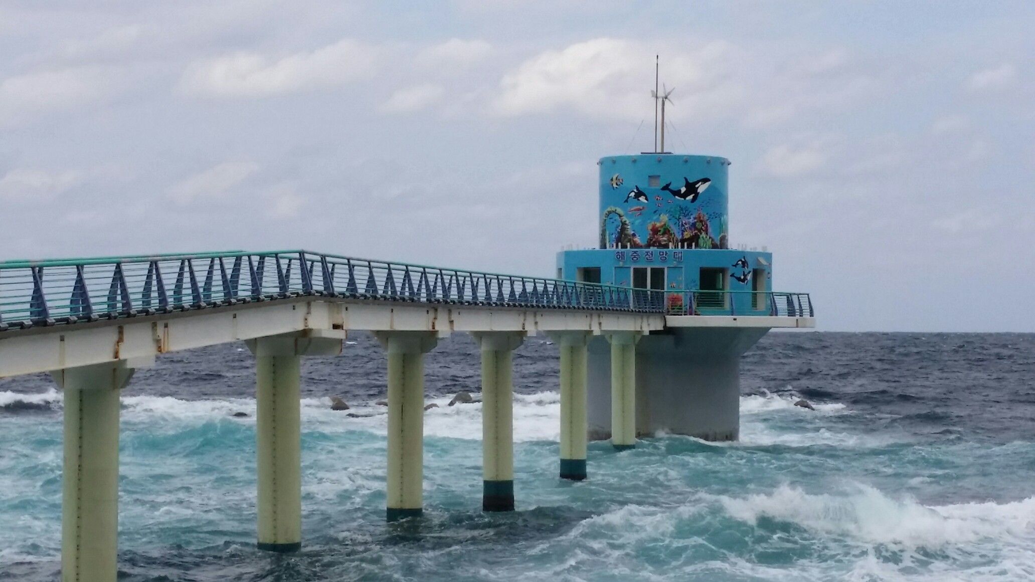
Cheonbu Underwater ObservatoryAn observatory where you can observe marine life through underwater windows at a depth of 6 meters.
1
Cheonbu Underwater ObservatoryAn observatory where you can observe marine life through underwater windows at a depth of 6 meters.
Food & Dining 3
-
 2
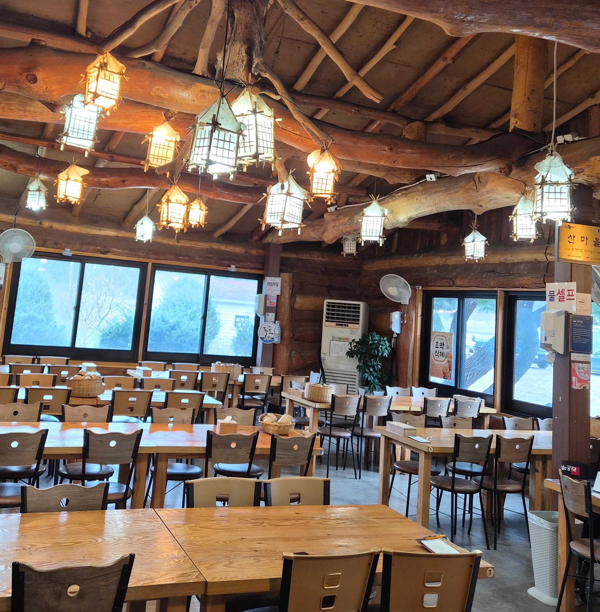
Sanmaeul RestaurantA Korean restaurant in Nari Basin serving wild mountain greens and mountain vegetable bibimbap
2
Sanmaeul RestaurantA Korean restaurant in Nari Basin serving wild mountain greens and mountain vegetable bibimbap -
 3
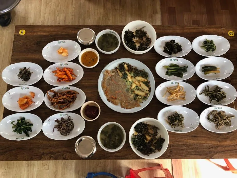
Narichon RestaurantA local restaurant serving wild mountain vegetable set meals and wild mountain vegetable bibimbap
3
Narichon RestaurantA local restaurant serving wild mountain vegetable set meals and wild mountain vegetable bibimbap -
 4
Sinae BunsikA snack restaurant in Cheonbu-ri serving whelk kalguksu and other noodle dishes.
4
Sinae BunsikA snack restaurant in Cheonbu-ri serving whelk kalguksu and other noodle dishes.
Events in This Area



Festivals in This Area




More Travel Guides in This Area
 Travel Guide
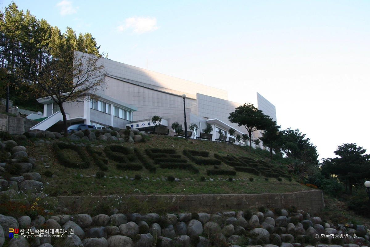
Dokdo Museum on a Hill 700 m from Dodong Port
 Travel Guide
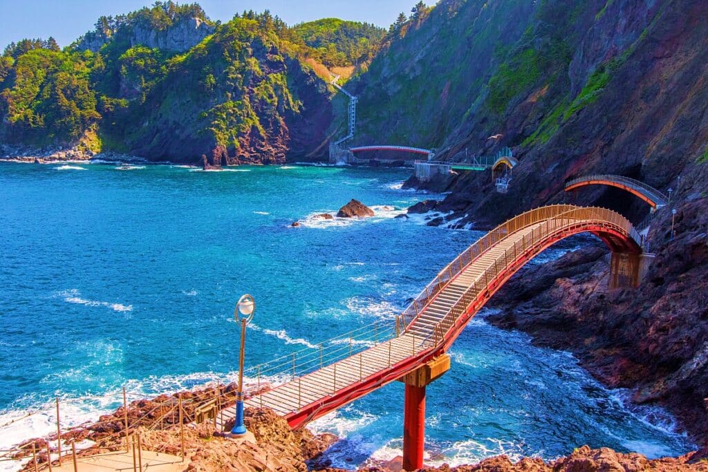
The Current Route on Haengnam Coastal Trail: 2.6 km of Cliffside Path and 57 m Spiral Shell Staircase
 Travel Guide
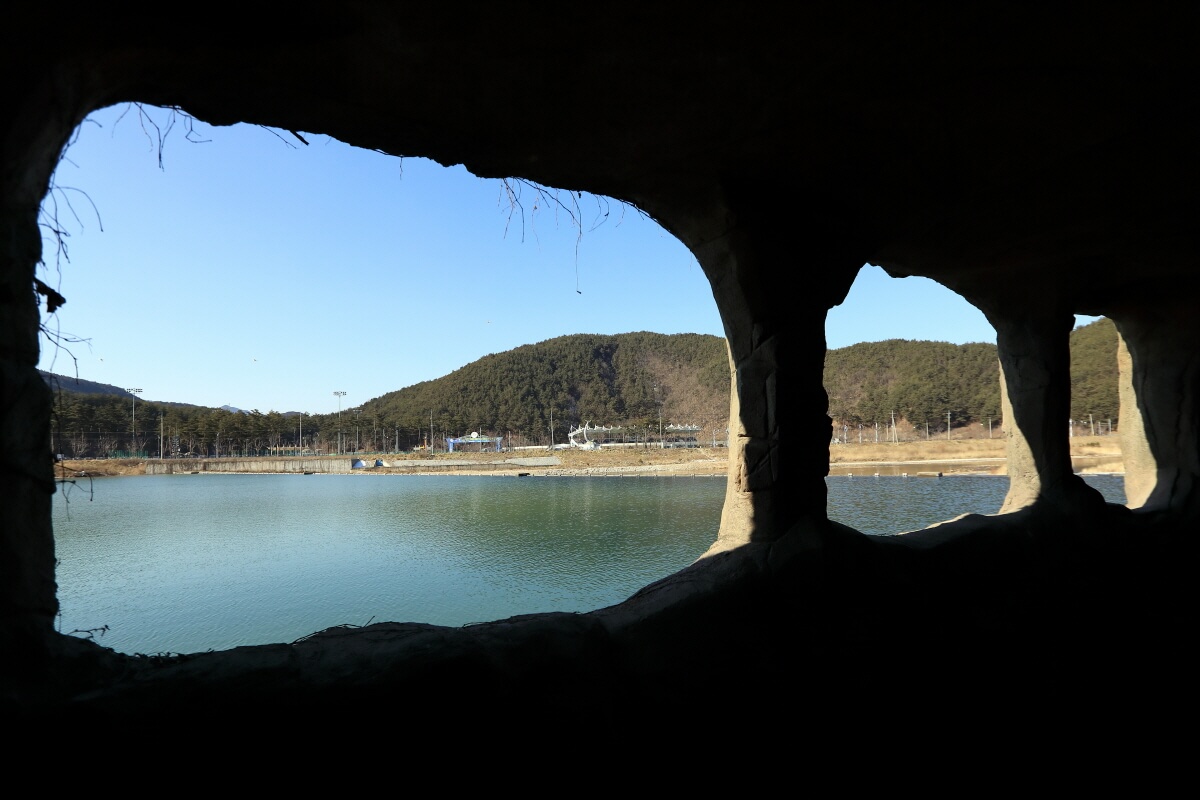
The 470-meter public section of Uljin Seongnyugul Cave, with underwater stalactites still intact
 Travel Guide
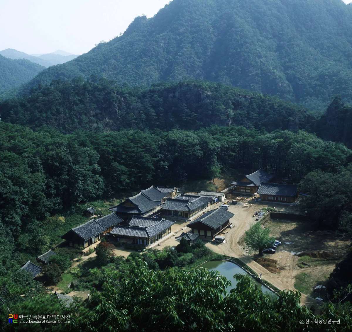
From the Western Foot of Cheonchuksan Mountain to Daeungbojeon Hall: How to Enter Bulyeongsa Temple
Korea News
 News
News
‘NewJeans Expulsion’ Danielle Releases Her First YouTube Video… “We Don’t Know What Will Happen Next”
![aespa’s North American Tour Has Remaining Seats Despite ‘$49’ Bargain Prices… A Stark Popularity Gap with KATSEYE [TEN Starfield]](https://kotourlive-images.s3.ap-northeast-1.amazonaws.com/news/1788485037424_a59b1932_naver_rank_thumb_0000774618_1788485037424.jpg) News
News
aespa’s North American Tour Has Remaining Seats Despite ‘$49’ Bargain Prices… A Stark Popularity Gap with KATSEYE [TEN Starfield]
![[Photo] TWICE’s Dahyun attends a film festival red carpet as an actress](https://kotourlive-images.s3.ap-northeast-1.amazonaws.com/news/1788485316508_edd43ecd_news_870a60a6-6f11-4d73-aa7c-48d91318a0f7.jpg) News
News
[Photo] TWICE’s Dahyun attends a film festival red carpet as an actress
![[On-Site Video] “We’re Departing Separately Together”… BIGBANG Begins ‘COSMOS’ World Tour](https://kotourlive-images.s3.ap-northeast-1.amazonaws.com/news/1788485226518_c5719641_news_fdd4764a-0f4e-4968-8e4e-e98a02872f88.jpg) News
News