Somaemuldo: Experience Yeolmokgae Tidal Channel and 152 m Mangtaebong in One Trip
Somaemuldo is an island in Hallyeohaesang National Park, about 26 km southeast of Tongyeong Port. Its main attraction is a 4.2 km trek across Yeolmokgae, which opens at low tide, to Lighthouse Island. Since the day’s itinerary depends on ferry schedules, tide times, and weather, be sure to coordinate the ferry service and tide table before departure.

I’ve been here?
Your check-in helps the next traveler.
No one has checked in yet Be the first
One tap — no writing needed
The Topography of Somaemuldo, Shaped by Lighthouse Island, 26 km Southeast of Tongyeong Port
Somaemuldo is located in Maejuk-ri, Hansan-myeon, Tongyeong-si, Gyeongsangnam-do, on an island approximately 26 km southeast of Tongyeong Port. Between the main island and Lighthouse Island directly to the south lies Yeolmokgae, which can be crossed on foot only at low tide. Because of this terrain, the timing of the tide at which Yeolmokgae can be crossed determines a Somaemuldo itinerary before the island arrival time does.
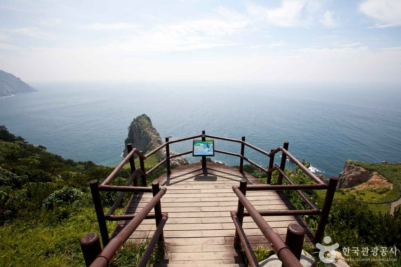
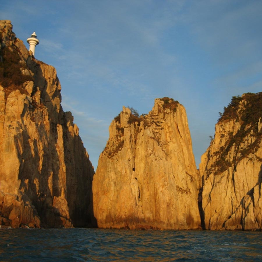
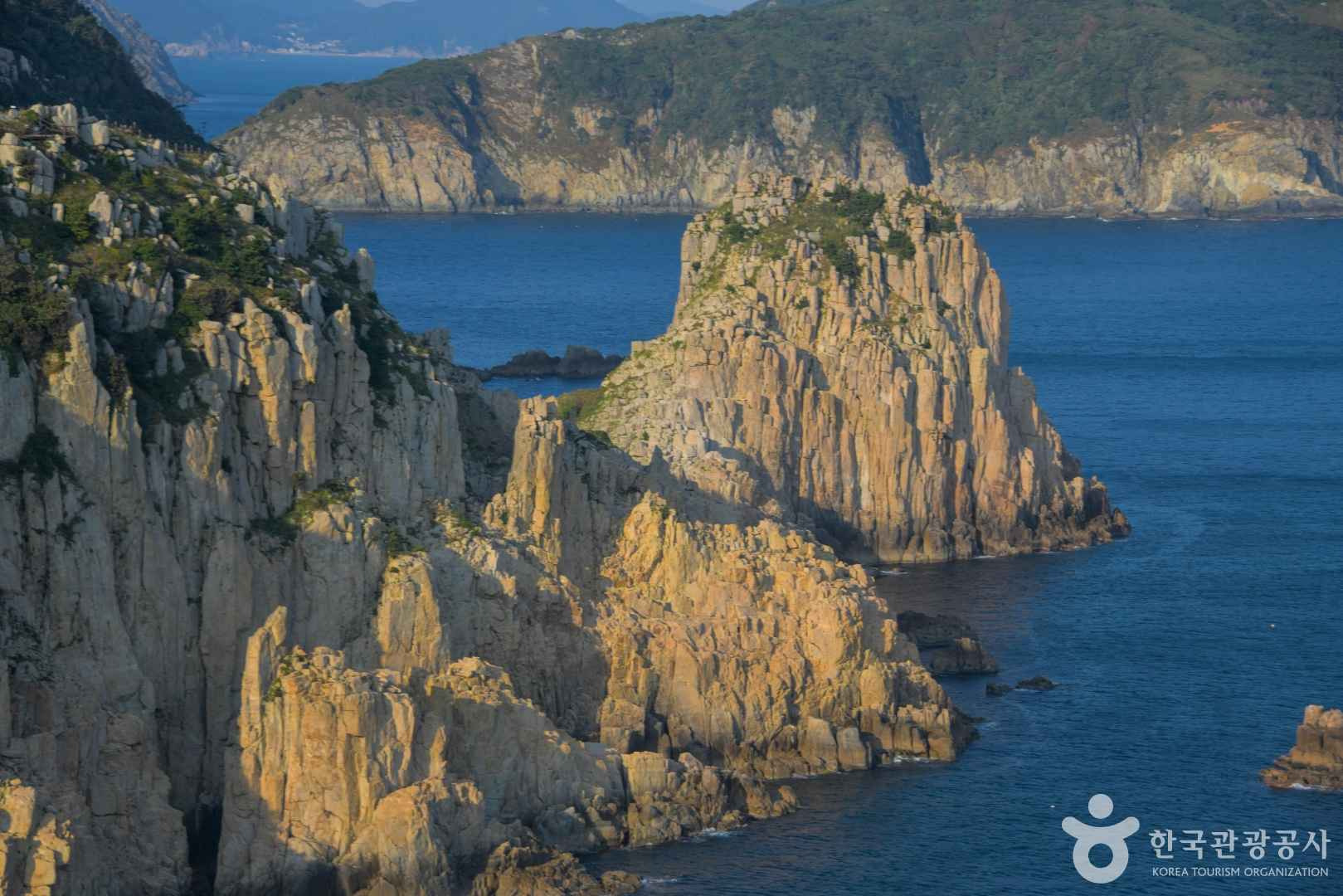
The area around Somaemuldo and Lighthouse Island was designated Scenic Site No. 18 on August 24, 2006, and belongs to the Geoje District of Hallyeohaesang National Park. Coastal columnar cliffs and striking sea-eroded rock landscapes remain, and Somaemuldo and Lighthouse Island are also known as one of Tongyeong’s Eight Scenic Views. Admission itself is free, but ferry fares are separate, and exploration on the island is subject to weather and safety controls.
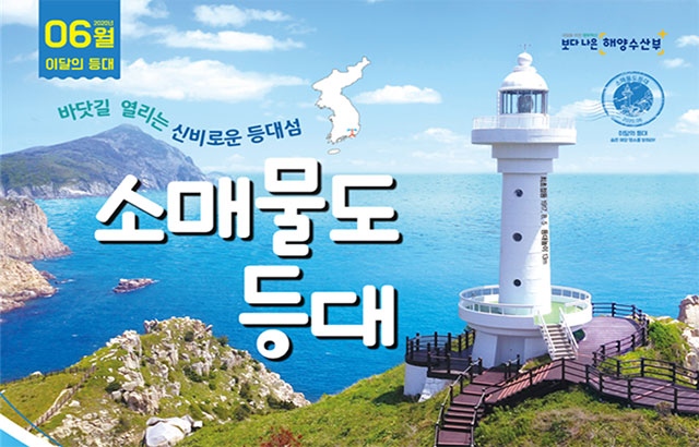
The 1917 Somaemuldo Lighthouse and the Approximately 70–80 m Yeolmokgae Sea Path
The Somaemuldo Lighthouse on Lighthouse Island is a 13 m-high white cylindrical lighthouse built in 1917. According to press materials, its light reaches approximately 48 km offshore, and in low-visibility conditions such as fog, torrential rain, or snow, it emits a no-signal every 45 seconds to indicate its location to vessels. The lighthouse is meaningful not merely as a photo spot, but as a navigational aid facility that has watched over the sea route along the southern coast.
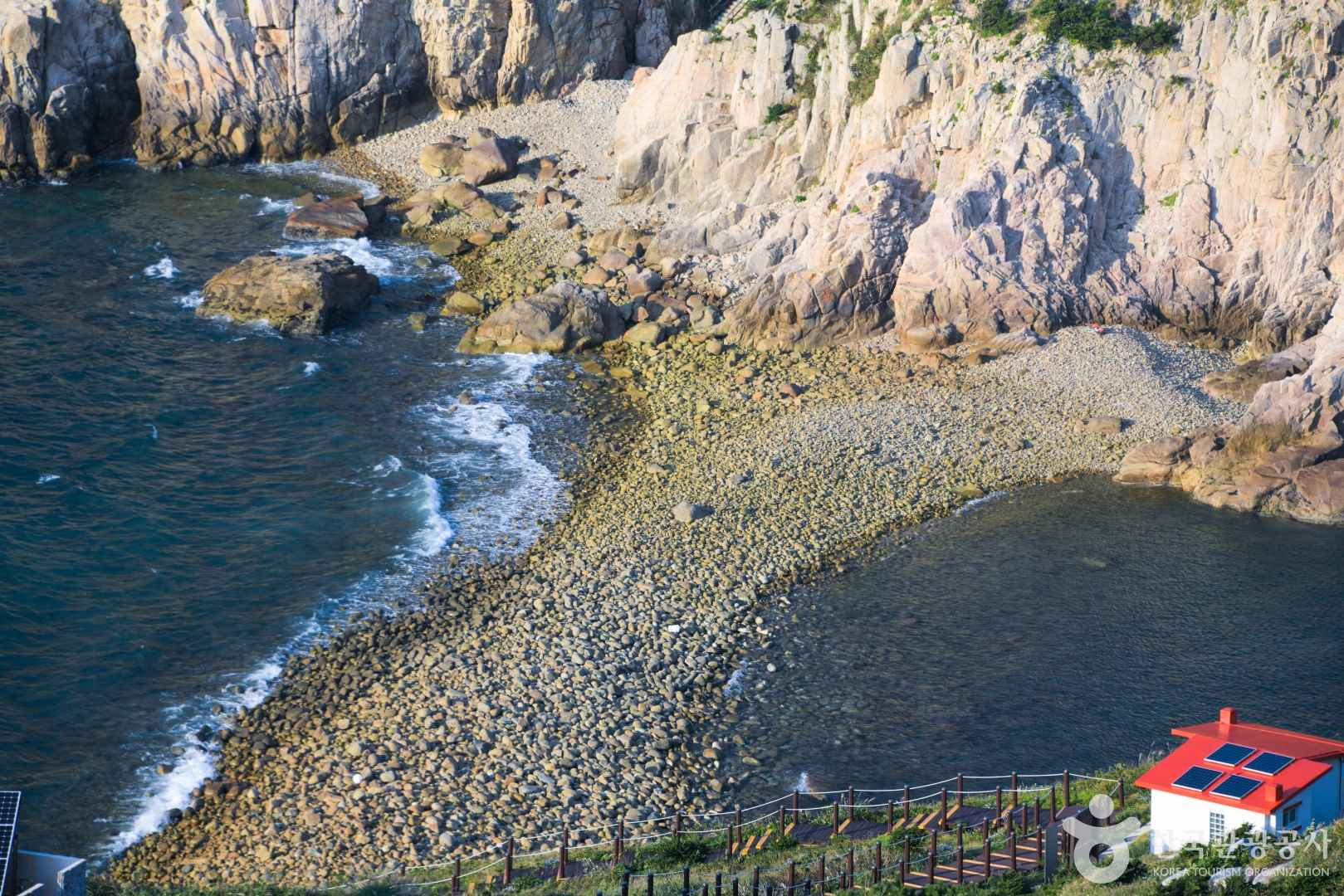
Yeolmokgae is an approximately 70–80 m pebble sea path connecting Somaemuldo and Lighthouse Island. It appears only twice a day at low tide and becomes impassable as the water begins to rise, so check the Badatime tide table together with on-site guidance before entering. Do not turn back immediately just because the tide has gone out; for safety, plan to return toward the main island well before the return ferry departure time.
- Before entering Yeolmokgae: Check the day’s tide, wave height, and whether exploration is restricted.
- Footwear: Sneakers or trekking shoes that support the ankles are recommended for the pebbles and sloped sections.
- Caution: Avoid slippers, running on wet rocks, and entering Lighthouse Island just before the incoming tide.
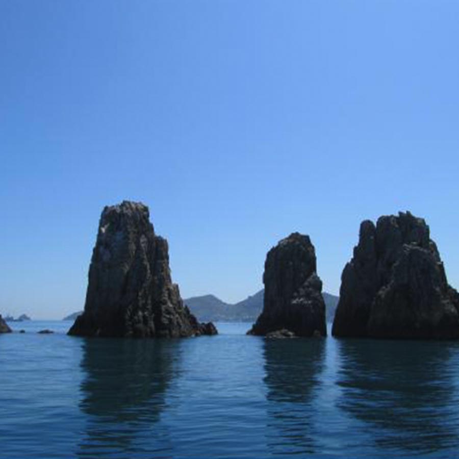
A 4.2 km Loop from Somaemuldo Port via Mangtaebong, Yeolmokgae, and Sibling Rocks
Somaemuldo Lighthouse Trail, Course 8 of the 100 Islands 100 Trails project, is 4.2 km in total, takes a standard 2 hours 30 minutes, and is rated “moderate.” The representative route runs 0.6 km from Somaemuldo Port to Mangtaebong and the Customs History Museum, another 0.6 km to Yeolmokgae, and 0.4 km to Somaemuldo Lighthouse, followed by 1.2 km to the Mangtaebong fork, 0.9 km to Sibling Rocks, and 0.5 km to the pier.
Mangtaebong, introduced as the island’s high point at 152 m above sea level, is where visitors can enjoy the view and visit the Customs History Museum. The distance from the pier to Sibling Rocks is approximately 0.6 km, and from Sibling Rocks toward the former Maemuldo Branch School it is approximately 0.95 km. Although the distances are short, climbs and descents, wind, and waiting time at Yeolmokgae add up, so it is better not to begin the entire course just before the last ferry departs.
Mangtaebong, Transformed from a 1970s Smuggling Watch Station into the Customs History Museum
The Customs History Museum at Mangtaebong stands on the site of the Somaemuldo watch station established in the 1970s. At the time, the station operated to crack down on smuggling in which goods brought from Japan were moved to islands and coastal areas along the southern coast. Introductory materials record that it was closed after detecting 87 smuggling vessels and deploying dedicated smuggling patrol boats.
This site is both an observation point for the sea scenery and a place that shows how the southern coast was once a setting for cross-border trade and anti-smuggling enforcement. Guide materials state that it was once an observation post for watching pirates and also served as a Mangbaedan altar, where migrants bowed toward their hometowns. Rather than viewing only Lighthouse Island and returning, including the Customs History Museum allows visitors to understand the island’s scenery and living history along one route.
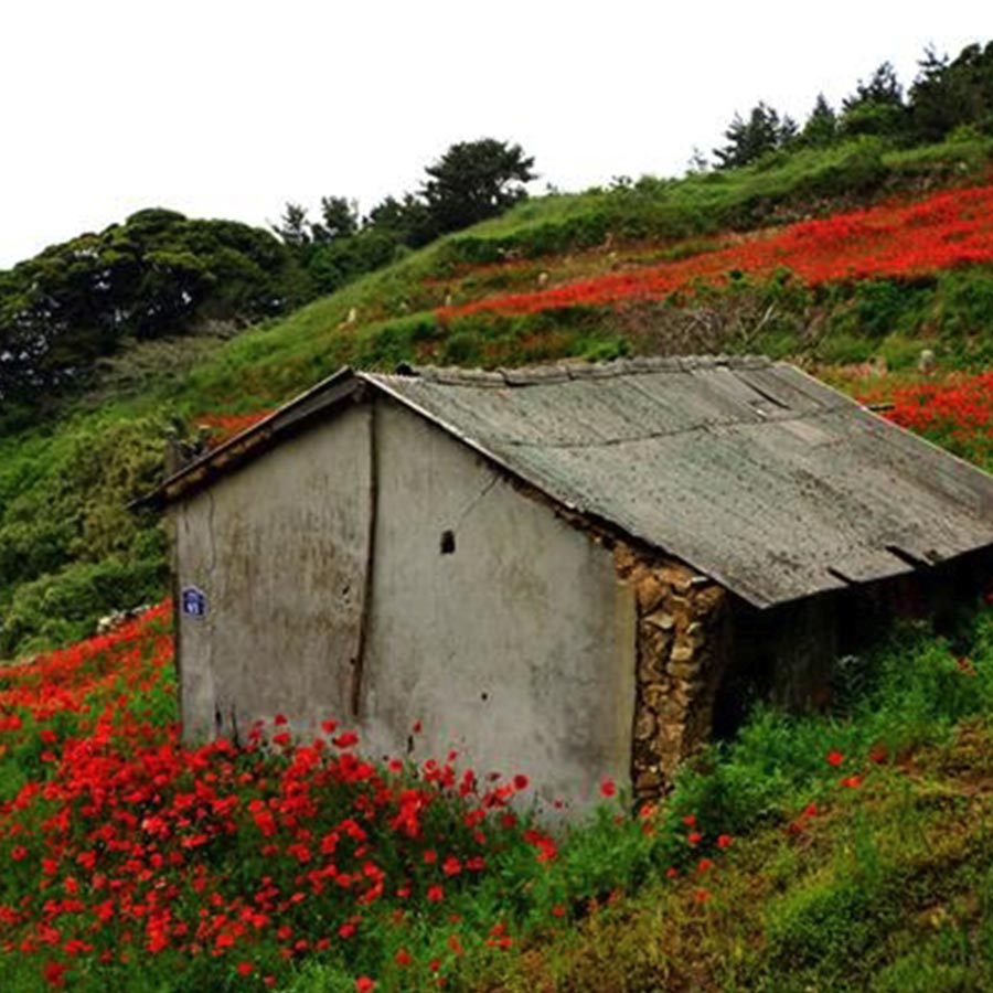
1 Hour 30 Minutes from Tongyeong Port and 40–50 Minutes from Geoje Jeogu Port: How to Choose Your Departure Point
The main departure points for Somaemuldo Port are the Tongyeong Port Passenger Ferry Terminal and the Maemuldo Passenger Ferry Terminal at Jeogu Port in Geoje. According to guide materials, the journey takes approximately 1 hour 30 minutes from the Tongyeong Passenger Ferry Terminal and approximately 40–50 minutes from Jeogu Port in Geoje. The address of the Tongyeong Port Passenger Ferry Terminal is 234 Tongyeonghaean-ro, Tongyeong-si, Gyeongsangnam-do, and the address of the Maemuldo Passenger Ferry Terminal at Jeogu Port is 216-11 Jeoguri, Nambumyeon, Geoje-si, Gyeongsangnam-do.
Ferry schedules and remaining seats change according to the date and weather, so check same-day operations on the ferry company’s reservation page and bring identification when boarding. Somaemuldo Port is not connected by an urban railway station or regular city bus service, so public transportation access must be planned separately for travel to the departure port. The Tongyeong Fisheries Cooperative contact number is 055-650-7810. In emergencies, the Tongyeong Fire Station duty office at 055-640-9400, Hansan Police Substation at 055-642-8112, and Maejuk Health Care Center at 055-645-2414 may be consulted.
- Departure from Tongyeong: Convenient to combine with accommodation in downtown Tongyeong, but the sea journey is longer.
- Departure from Jeogu Port: The voyage to the island is shorter, but overland travel to the port in Nambu-myeon, Geoje, must be calculated separately.
- Common considerations: Secure round-trip tickets, bring identification, check cancellation notices, and begin descending before the last ferry time.
Five Preparations for a Day Trip That Prioritizes the Tide over the Last Ferry
Somaemuldo is an island accessible according to ferry operations and National Park exploration conditions, rather than a facility with fixed opening and closing hours. Therefore, it is difficult to provide fixed operating hours and closing days separately, and the ferry operation notice for the boarding date is most important. Admission is free, but ferry fares, which vary by departure port, vessel, and season, should be checked during the reservation process.
The 4.2 km course takes 2 hours 30 minutes to complete and is not a light walk for people unaccustomed to stairs, slopes, and coastal winds. It is not suitable for wheelchair or stroller travel along the entire route, and walking assistance may be particularly necessary on the Yeolmokgae pebble path and the approach to the lighthouse. English and multilingual information is not consistently available from ferry companies or on-site signs, so foreign visitors should translate and save reservation screens and tide information in advance for safety.
- Prepare at least 1 L of water, snacks, a hat, a windbreaker, and a portable battery before departure.
- If you are concerned about seasickness, consult a pharmacist about whether to take motion-sickness medicine before boarding.
- If rain or strong winds are forecast, both crossing Yeolmokgae and returning by ferry may change, so allow extra time in your itinerary.
- Parking information varies by departure port; check it on the official ferry company’s same-day guidance.
- Since the range of restaurants and convenience facilities may be limited, prepare food and drinking water at the departure point.
Steep Slopes and Wind Repeatedly Mentioned in 2025 Reviews: Why Weekday Departures Make Sense
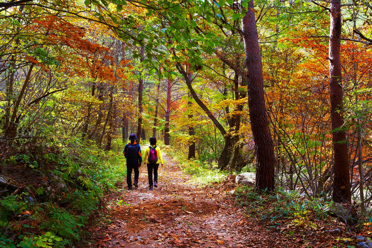
Reviews and travel guides published since 2025 repeatedly mention that, contrary to the impression of a “short distance,” the route has distinct sloped sections and requires trekking shoes. Some sections along the coast and ridgeline are directly exposed to the wind, so it is advisable to bring a light outer layer even in summer and prioritize windproof clothing in winter and the transitional seasons. Rather than rushing down to Yeolmokgae solely for photography, calculate the round-trip walking time and incoming-tide time first.
On weekends and during peak season, when visitors are concentrated, both ferry seats and trail space may become limited. The Island Research Institute notes that the island receives many visitors relative to its size on weekends and during the summer vacation season, and recommends visiting on weekdays. If crossing the sea path is the top priority, a practical approach is to choose based not on whether to take a morning or afternoon ferry, but on whether the time between Yeolmokgae’s opening on that date and the final return ferry provides at least 2 hours 30 minutes of safety margin.
Before You Go
- Address
- Maejuk-ri, Hansan-myeon, Tongyeong-si, Gyeongsangnam-do
- Admission
- Free admission (ferry fare separate; confirmation required depending on the date and ferry company)
- Phone
- Tongyeong Fisheries Cooperative: 055-650-7810
- Official site
- https://maemuldoferry.com/
- Transport
- Approximately 1 hour 30 minutes from the Tongyeong Port Passenger Ferry Terminal (234 Tongyeonghaean-ro, Tongyeong-si, Gyeongsangnam-do), and approximately 40–50 minutes from the Maemuldo Passenger Ferry Terminal at Jeogu Port in Geoje (216-11 Jeoguri, Nambumyeon, Geoje-si, Gyeongsangnam-do). Before boarding, check ferry operations, remaining seats, and whether identification is required.
- Time needed
- Somaemuldo Lighthouse Trail: 4.2 km, approximately 2 hours 30 minutes (moderate difficulty).
- Accessibility
- Because the route includes slopes, stairs, and a pebble sea path, it is not suitable for wheelchair or stroller travel along the entire course. Visitors are advised to inquire with the ferry company and on-site staff in advance about the availability of foreign-language information.
The information above is current as of the time of writing. Check the official guidance again before visiting.

Places
Nearby Attractions 3
-
 1
MangtaebongA mountain trail offering views of the coast of Somaemuldo from the 152-meter-high summit.
1
MangtaebongA mountain trail offering views of the coast of Somaemuldo from the 152-meter-high summit. -
 2
Customs History MuseumA place where you can explore the history of a former smuggling lookout post while enjoying coastal views.
2
Customs History MuseumA place where you can explore the history of a former smuggling lookout post while enjoying coastal views. -
 3
Nammae BawiA viewpoint at the beginning of the Somemuldo Lighthouse Trail where you can enjoy coastal rock scenery.
3
Nammae BawiA viewpoint at the beginning of the Somemuldo Lighthouse Trail where you can enjoy coastal rock scenery.
Food & Dining 1
-
 4
4
Events in This Area

Festivals in This Area

More Travel Guides in This Area
 Travel Guide
Five Wartime Tunnels Framing Mangsan: Geunpo Village, Geoje
 Travel Guide
Two Seas Divided by a Sandbar: From Bijindo’s Outer Port to Seonyubong Peak
 Travel Guide
Windy Hill, from Dojangpo’s farmland to one of Geoje’s nine scenic wonders
 Travel Guide
From the End of Dojangpo Rock to Dapo Island: Geoje Sinseondae
Korea News
 News
News
TWS heightens comeback excitement with kitschy charm… Anticipation for “plot twist” rises
 News
News
BTS, Six Months After Its Release… ‘Arirang’ Climbs the U.S. Billboard 200
 News
News
'The Nation's Girl Group' RESCENE, Five Girls Transformed into Guardians… Additional Concept Photos for Their 4th Mini Album Revealed
 News
News