Munsusan, where Ulsan and the Yeongnam Alps unfold beyond the 700 m steep ascent
Munsusan in Ulsan is a 600 m-high mountain spanning Yul-ri in Cheongnyang-eup and Cheonsang-ri in Beomseo-eup. Depending on your goals and fitness level, you can choose between an approximately 8 km round-trip loop starting from Yeonghae Village and a roughly 1.5-hour course departing from the Munsusan Observatory.

I’ve been here?
Your check-in helps the next traveler.
30 people viewed this week Be the first
One tap — no writing needed
A 600-meter ridge bearing the name of Manjushri, connecting Yulli and Cheonsang
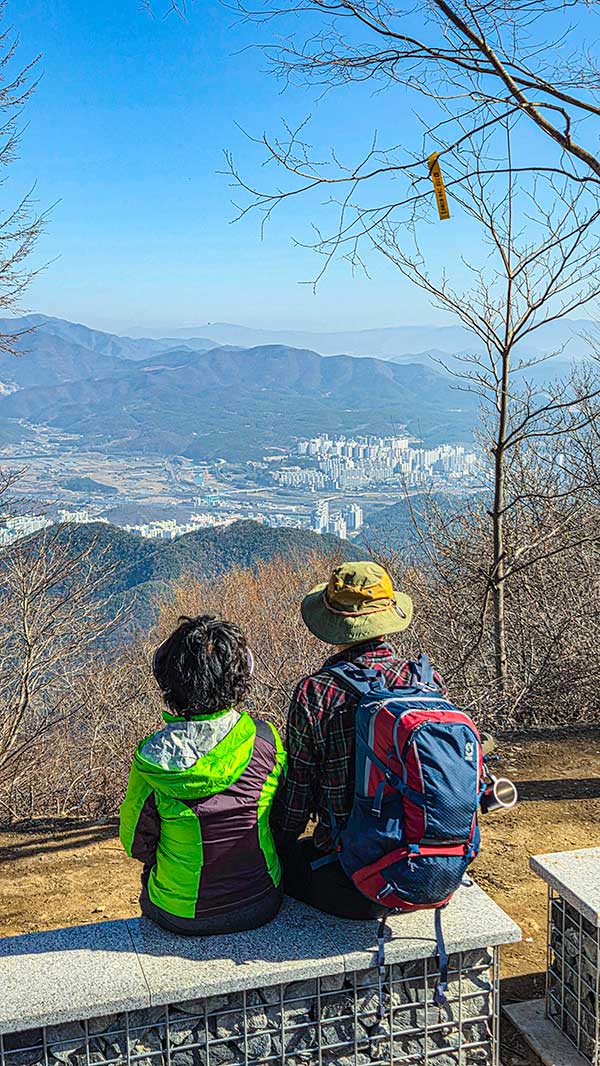
Munsusan is a 600-meter-high mountain spanning Yulli in Cheongnyang-eup and Cheonsang-ri in Beomseo-eup, Ulju-gun, Ulsan Metropolitan City. The mountain's name originated from the account that “Manjushri stayed here,” and from the summit and observatory, visitors can view both the urban area of Ulsan and the ridges toward the Yeongnam Alps.
Because it borders the residential area southwest of central Ulsan, the trailheads are located close to villages and roads. Tourism information provided by Ulsan City explains that the hiking trail begins at the connecting bridge on the second floor of the Munsusan Observatory and introduces the observatory parking lot as a starting point for those seeking a shorter hike.
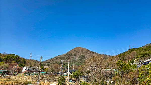
An 8.1-kilometer, approximately 3.5-hour loop starting at the Yeonghae Village shrine
The best-known loop route starts at the Yeonghae Village shrine (Seonangdang) in Cheongnyang-eup and passes the Manghaesa fork, a transmission tower, Munsubong, Kkaldak Pass, the summit of Munsusan, Munsusa, the Pine Rock Observatory, and the Munsusa parking lot before returning to Yeonghae Village. Hiking records give the distance as approximately 8.1 kilometers and the walking time as approximately 3 hours 30 minutes.
The area around 136 Yulliyeonghae 1-gil, given as the address, is close to the Yeonghae Village trailhead and is a section densely lined with noodle restaurants. Directions explain that visitors can find the trail entrance by walking from the Yeonghae Village bus stop toward the Cheongnyang Nonghyup Yulli Branch, and also state that the trailhead is about a three-minute walk from the bus stop.
- Start and finish: Area around the Yeonghae Village shrine
- Main points along the route: Munsubong, Kkaldak Pass, Munsusan summit, and Munsusa
- Distance: Approximately 8.1 km
- Recommended time: Approximately 3 hours 30 minutes
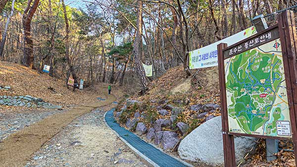
A 700-meter section from Kkaldak Pass to the summit with a 270-meter elevation gain
The main challenging section of Munsusan is the final uphill stretch from Kkaldak Pass to the summit. A 2024 hiking record reports that this section gains approximately 270 meters in elevation over about 700 meters, showing that although it is short, stairs and steep slopes are concentrated along the route.
The Yeonghae Village course is closer to an intermediate-level or harder hike than to a gentle walking trail for simply reaching the summit and returning. It is advisable to prepare hiking boots or athletic shoes with good traction, at least 500 mL of water, a windbreaker, and trekking poles to reduce knee strain during the descent. Immediately after rain, it is safer to shorten your stride on dirt paths and stone steps.
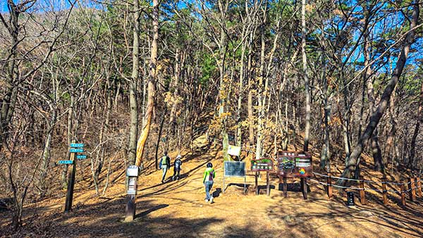
A shorter option taking approximately 1.5 hours from the Munsusan Observatory parking lot to the summit
If time is limited, it is better to start at the Munsusan Observatory parking lot. Tourism information from the Korea Tourism Organization states that it takes approximately 1 hour 30 minutes from the observatory to the summit and approximately 30 minutes from the observatory to Munsusa. The route involves crossing the bridge connecting the second floor of the observatory with the hiking trail and then entering the mountain path.
However, this course is not necessarily suitable for beginners simply because it is the shortest route. Since the trail from the observatory to the summit is explicitly described as steep, hikers need to calculate the descent time required for the round trip and plan to return to the parking lot before sunset. If the summit alone is the goal, a realistic plan is to allow 1 hour 30 minutes for the ascent and add the descent time separately.
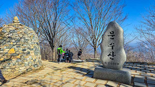
A descent route extending to Munsusa and the Pine Rock Observatory
On the descent south of the summit, hikers encounter Munsusa and the observatory in succession. The Yeonghae Village loop-route information places Munsusa and the Pine Rock Observatory after the Munsusan summit, then presents a route returning to the village via the Munsusa parking lot and the fork toward Namamsan.
If you descend from Munsusa toward the observatory and parking lot, the character of the hike changes. Even after getting past the steep slopes near the summit, there are ridge forks and connections to forest roads and regular roads, so it is best to save the return route planned at the start in a map app. Extending the hike to Namamsan greatly increases the hiking time, so it cannot be calculated as the same schedule as the 3-hour-30-minute Munsusan loop.
Bus transfer sequence from Ulsan Station and Nopo Station to Yeonghae Village
Hiking guides introduce an approach from the Busan Metro Line 1 Nopo Station Bus Transfer Center by taking the 1127, 1137, 2100, or 2300 express-seat bus and getting off at the Yeonghae Village bus stop. After the Yeonghae Village bus stop, cross the intersection at the entrance to Munsusa and walk toward the Cheongnyang Nonghyup Yulli Branch to reach the trail entrance.
From Ulsan Station, the suggested transfer route is to take bus 1703 to Sinbok Rotary, then bus 432 to the Yulli Public Garage terminal, and finally bus 713 to Yeonghae Village. Because bus routes and service intervals may change, it is advisable on the day of departure to use Ulsan city bus real-time information and determine the last bus and transfer times based on the Yeonghae Village or Yulli Public Garage stops.
- From Busan's Nopo Station: 1127, 1137, 2100, or 2300 → Yeonghae Village
- From Ulsan Station: 1703 → Sinbok Rotary, 432 → Yulli Public Garage, 713 → Yeonghae Village
- Yeonghae Village bus stop to the trailhead: Introduced as approximately a 3-minute walk
A mountain trail with no admission fee or regular closing days; use the observatory or Munsusa for parking
Hiking on Munsusan itself is free, as it is an outdoor trail, and there are no designated opening hours or regular closing days. However, it is not a park-style tourist attraction equipped with nighttime lighting and permanent safety-management facilities, so a schedule that begins after sunrise and descends before dark is appropriate.
Visitors arriving by car can use the Munsusan Observatory parking lot or the Munsusa parking lot as reference points for the hike. On the route starting at the Munsusan Observatory, hikers park their vehicles and enter the trail via the connecting bridge on the second floor, while the Munsusa parking lot is a descent waypoint on the Yeonghae Village loop. The paid or free status and same-day congestion levels of the two parking lots are not stated definitively because no authoritative, continuously updated information could be confirmed.
Munsusan requires hiking equipment rather than a stroller walk; observatory facilities are separate
The ridges and summit section of Munsusan combine dirt paths, stone steps, and steep slopes, making them unsuitable for wheelchair or stroller travel. In particular, the 700-meter section from Kkaldak Pass to the summit gains approximately 270 meters in elevation, making it difficult to choose for an itinerary accompanied by people with mobility limitations.
By contrast, the Munsusan Observatory is listed in the Korea Tourism Organization's accessible-travel information as having an accessible restroom, an elevator for people with disabilities, designated accessible parking spaces, and a main entrance without steps. This information concerns the observatory facilities and does not indicate that the hiking trail from the observatory to the summit is accessible. No confirmed information is available regarding foreign-language guidance or wheelchair rental based on the Munsusan hiking trail.
From the hike to Munsusan Noodle House at 136 Yulliyeonghae 1-gil: ending with noodles
The listed address, 136 Yulliyeonghae 1-gil, Cheongnyang-eup, Ulju-gun, is the address of Munsusan Noodle House, located on Yulliyeonghae 1-gil near the Yeonghae Village trailhead. This also corresponds with hiking articles describing a cluster of noodle restaurants around the trail entrance, making it easy to schedule a meal before or after a hike when starting and returning to Yeonghae Village.
Online restaurant information for Munsusan Noodle House lists daily hours of 10:30–19:00 and a break from 15:00–16:30. However, because this is externally collected information rather than an official notice from the establishment, anyone planning a meal after an afternoon hike should safely confirm by phone or through a map service that business has resumed after 16:30 and that the restaurant is open that day.
Before You Go
- Address
- 136 Yulliyeonghae 1-gil, Cheongnyang-eup, Ulju-gun, Ulsan Metropolitan City
- Admission
- Free
- Official site
- https://korean.visitkorea.or.kr/detail/ms_detail.do?cotid=fee59afb-7f46-406f-877a-b82fdf38a654
- Transport
- After getting off at the Yeonghae Village bus stop, walk approximately 3 minutes to the trailhead. Information is provided for buses 1127, 1137, 2100, and 2300 from Busan's Nopo Station. From Ulsan Station, access to Yeonghae Village is described via transfers from bus 1703 to 432 and then 713.
- Parking
- The Munsusan Observatory parking lot and Munsusa parking lot are available. Fee information could not be confirmed.
- Time needed
- Yeonghae Village loop: approximately 8.1 km and 3 hours 30 minutes. Munsusan Observatory to summit: approximately 1 hour 30 minutes; observatory to Munsusa: approximately 30 minutes.
- Accessibility
- The Munsusan Observatory has information-listed facilities including an accessible restroom, elevator, accessible parking spaces, and a step-free main entrance. The summit trail has steep slopes and stairs, making it unsuitable for wheelchair or stroller travel.
The information above is current as of the time of writing. Check official guidance again before visiting.

Places
Nearby Attractions 5
-
 1
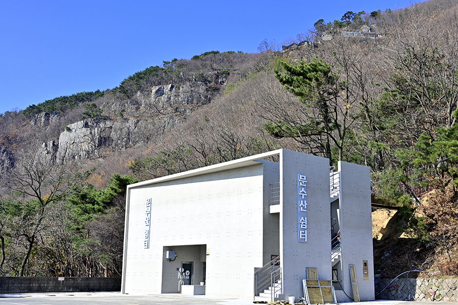
Munsusan ObservatoryAn observatory overlooking Ulsan city and the surrounding mountain ridges
1
Munsusan ObservatoryAn observatory overlooking Ulsan city and the surrounding mountain ridges -
 2
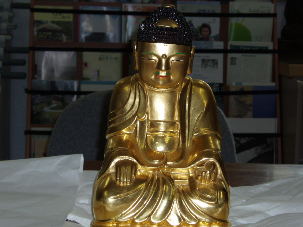
Munsusa TempleA place to explore the mountain temple on Munsusan Mountain and Buddhist cultural heritage
2
Munsusa TempleA place to explore the mountain temple on Munsusan Mountain and Buddhist cultural heritage -
 3
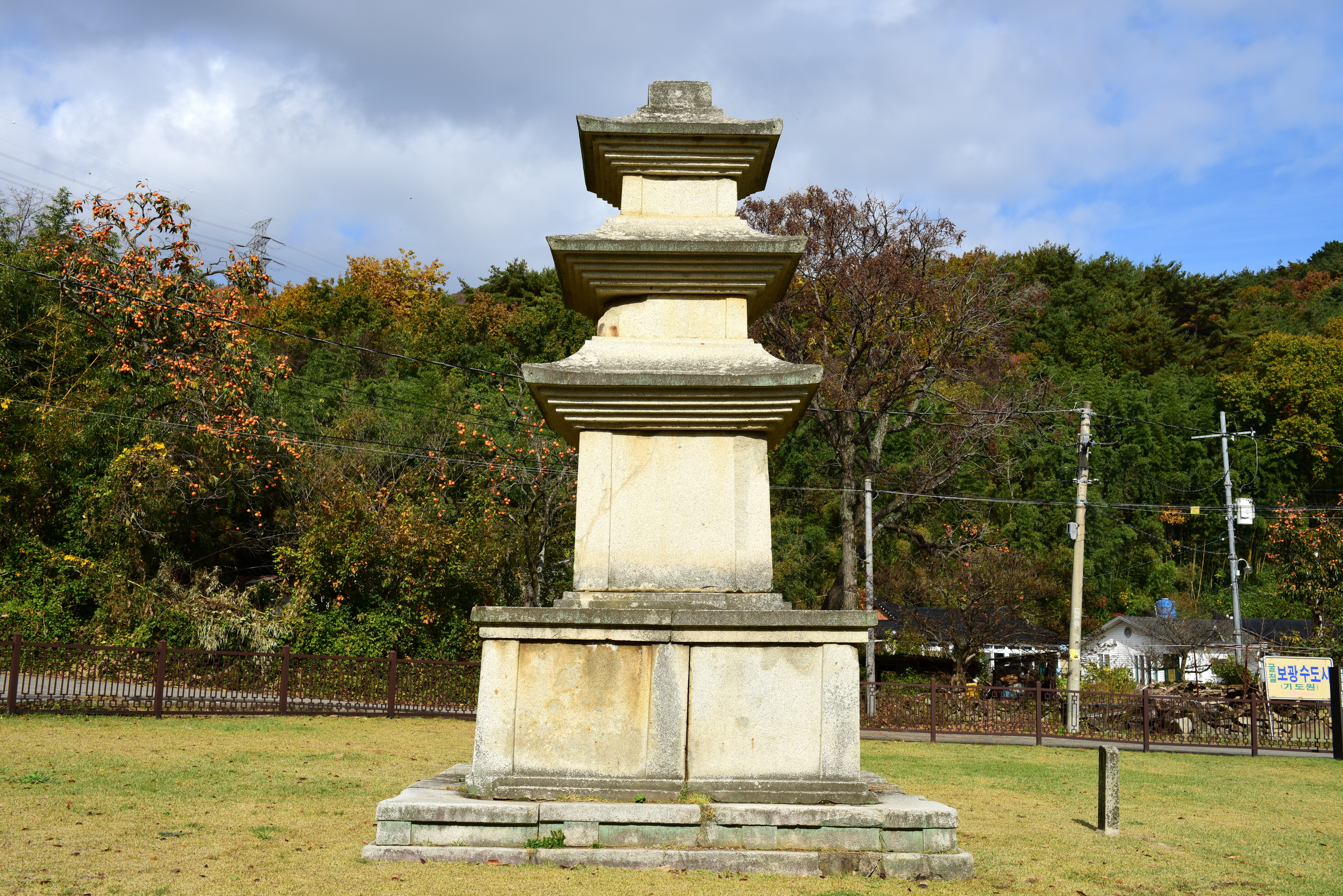
Three-story Stone Pagoda at Cheongsongsa Temple Site, UljuA cultural heritage site featuring a Unified Silla stone pagoda and the remains of an old temple.
3
Three-story Stone Pagoda at Cheongsongsa Temple Site, UljuA cultural heritage site featuring a Unified Silla stone pagoda and the remains of an old temple. -
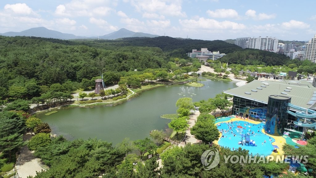 4
Ulsan Grand ParkAn urban park where you can enjoy forest trails, a zoo, and hands-on facilities.
4
Ulsan Grand ParkAn urban park where you can enjoy forest trails, a zoo, and hands-on facilities. -
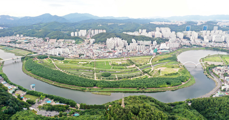 5
Taehwagang National GardenAn ecological garden where you can stroll through the Simni Bamboo Grove and seasonal gardens.
5
Taehwagang National GardenAn ecological garden where you can stroll through the Simni Bamboo Grove and seasonal gardens.
Food & Dining 2
-
 6
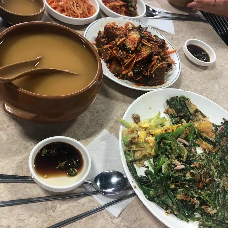
Halmae GuksujipA noodle restaurant serving janchi-guksu (banquet noodles), kal-guksu (knife-cut noodles), and jeon (Korean savory pancakes).
6
Halmae GuksujipA noodle restaurant serving janchi-guksu (banquet noodles), kal-guksu (knife-cut noodles), and jeon (Korean savory pancakes). -
 7
7
More Travel Guides in This Area
 Travel Guide
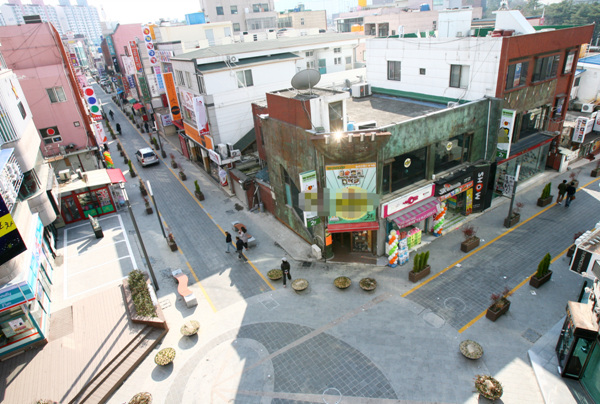
Why It’s Easy to Get Lost at Babo Intersection in Front of Ulsan University and How to Actually Get There
 Travel Guide
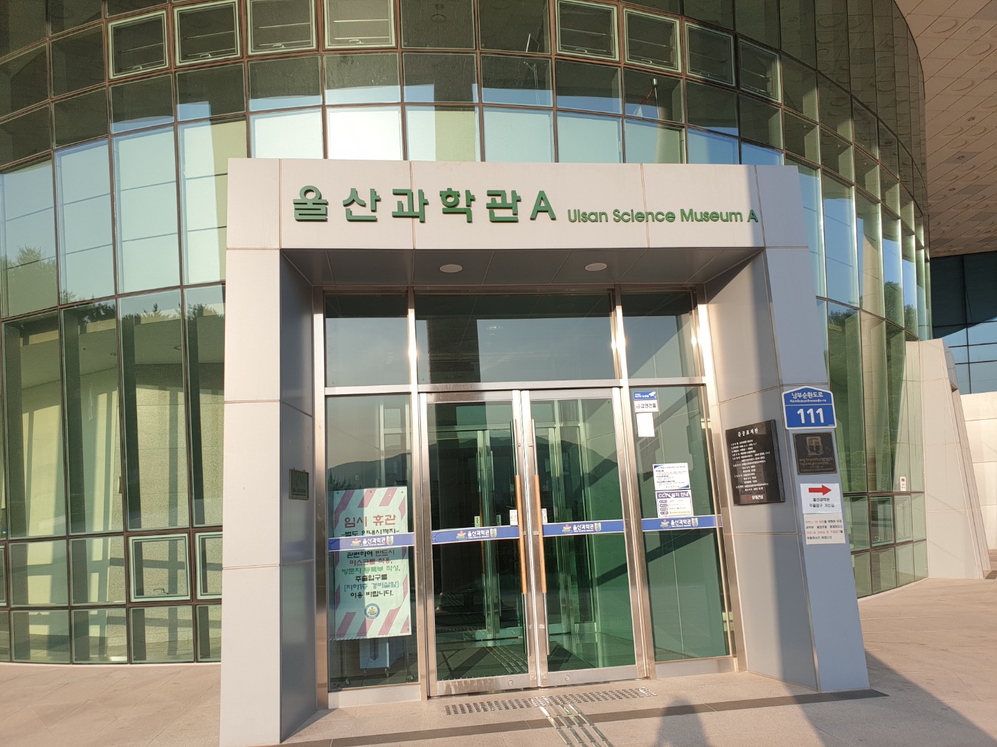
A Half-Day Guide to the 6th Floor of Ulsan Science Center, Including the 137-Seat Starlight Planetarium
 Travel Guide
Exploring Ulsan Ulju Culture and Arts Center Through Its 392-Seat Theater and 110㎡ Exhibition Hall
 Travel Guide
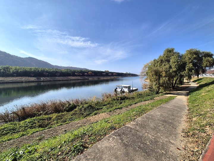
How to Explore Ulsan’s Taehwagang River, Transformed from a River of Death into an 830,000㎡ Riverside Garden
Korea News
 News
News
‘NewJeans Expulsion’ Danielle Releases Her First YouTube Video… “We Don’t Know What Will Happen Next”
![aespa’s North American Tour Has Remaining Seats Despite ‘$49’ Bargain Prices… A Stark Popularity Gap with KATSEYE [TEN Starfield]](https://kotourlive-images.s3.ap-northeast-1.amazonaws.com/news/1788485037424_a59b1932_naver_rank_thumb_0000774618_1788485037424.jpg) News
News
aespa’s North American Tour Has Remaining Seats Despite ‘$49’ Bargain Prices… A Stark Popularity Gap with KATSEYE [TEN Starfield]
![[Photo] TWICE’s Dahyun attends a film festival red carpet as an actress](https://kotourlive-images.s3.ap-northeast-1.amazonaws.com/news/1788485316508_edd43ecd_news_870a60a6-6f11-4d73-aa7c-48d91318a0f7.jpg) News
News
[Photo] TWICE’s Dahyun attends a film festival red carpet as an actress
![[On-Site Video] “We’re Departing Separately Together”… BIGBANG Begins ‘COSMOS’ World Tour](https://kotourlive-images.s3.ap-northeast-1.amazonaws.com/news/1788485226518_c5719641_news_fdd4764a-0f4e-4968-8e4e-e98a02872f88.jpg) News
News